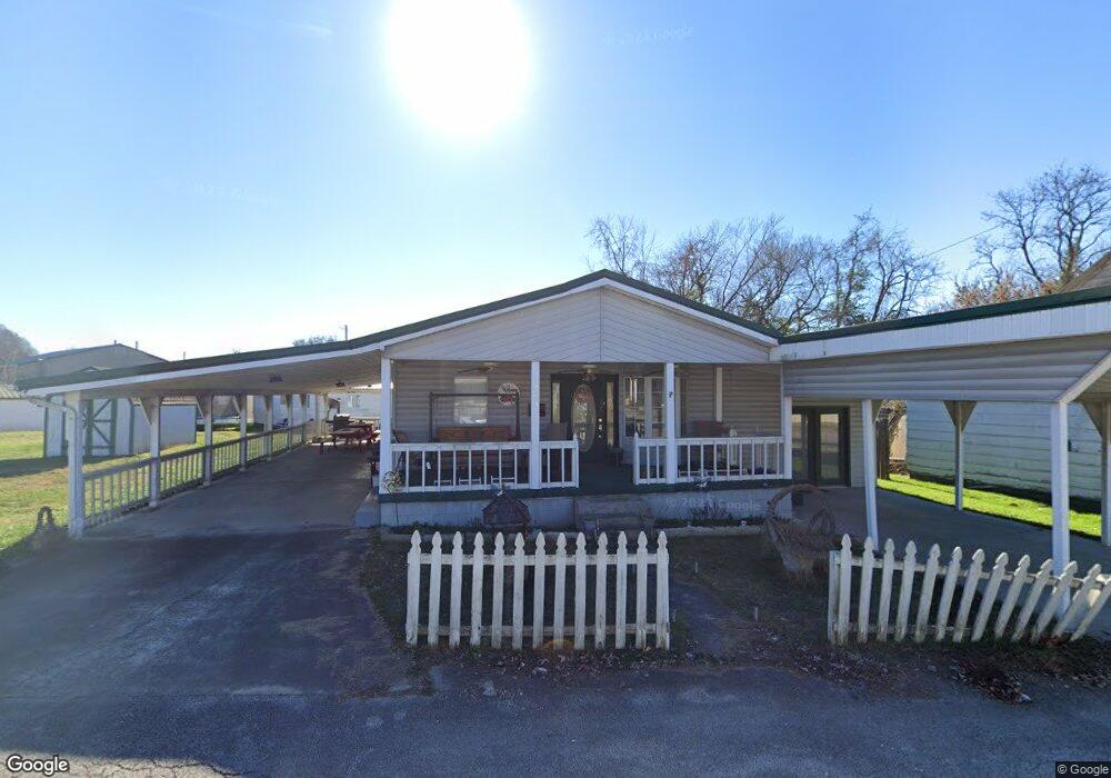
213 Ridgeway St Coal Grove, OH 45638
Estimated Value: $123,000 - $147,574
3
Beds
2
Baths
1,892
Sq Ft
$73/Sq Ft
Est. Value
About This Home
This home is located at 213 Ridgeway St, Coal Grove, OH 45638 and is currently estimated at $137,394, approximately $72 per square foot. 213 Ridgeway St is a home located in Lawrence County with nearby schools including Dawson-Bryant Elementary School, Dawson-Bryant Middle School, and Dawson-Bryant High School.
Ownership History
Date
Name
Owned For
Owner Type
Purchase Details
Closed on
May 29, 2020
Sold by
Thompson Donald R
Bought by
Siebert Michael J
Current Estimated Value
Purchase Details
Closed on
Jul 8, 2011
Sold by
Thompson Donald R and Thompson Helen M
Bought by
Thompson Donald R and Thompson Helen M
Purchase Details
Closed on
Jan 1, 1987
Bought by
Thompson Donald R and Thompson Hel
Create a Home Valuation Report for This Property
The Home Valuation Report is an in-depth analysis detailing your home's value as well as a comparison with similar homes in the area
Home Values in the Area
Average Home Value in this Area
Purchase History
| Date | Buyer | Sale Price | Title Company |
|---|---|---|---|
| Siebert Michael J | -- | -- | |
| Thompson Donald R | -- | Attorney | |
| Thompson Donald R | -- | -- |
Source: Public Records
Tax History Compared to Growth
Tax History
| Year | Tax Paid | Tax Assessment Tax Assessment Total Assessment is a certain percentage of the fair market value that is determined by local assessors to be the total taxable value of land and additions on the property. | Land | Improvement |
|---|---|---|---|---|
| 2024 | -- | $32,280 | $5,880 | $26,400 |
| 2023 | $999 | $32,280 | $5,880 | $26,400 |
| 2022 | $996 | $32,280 | $5,880 | $26,400 |
| 2021 | $854 | $28,750 | $5,460 | $23,290 |
| 2020 | $657 | $28,750 | $5,460 | $23,290 |
| 2019 | $654 | $28,750 | $5,460 | $23,290 |
| 2018 | $661 | $28,750 | $5,460 | $23,290 |
| 2017 | $660 | $28,750 | $5,460 | $23,290 |
| 2016 | $614 | $28,750 | $5,460 | $23,290 |
| 2015 | $576 | $26,010 | $5,460 | $20,550 |
| 2014 | $535 | $26,010 | $5,460 | $20,550 |
| 2013 | $534 | $26,010 | $5,460 | $20,550 |
Source: Public Records
Map
Nearby Homes
- 805 1/2 High St
- 519 Lane St
- 514 Lane St
- 303 Pike St
- 125 Center St
- 119 Remy St
- 103 Carrico Dr
- 309 High St
- 309 High St Unit LAO-5
- 0 Central & Mlk
- 1003 Marion Pike
- 508 16th St
- 1824 Carter Ave
- 0 18th Street & Central Ave
- 1100 Price St
- 1409 Hoods Creek Pike
- 0 Carter Ave
- 156 Township Road 181
- 2088 State Route 243
- 0 Amanda Furnace Dr