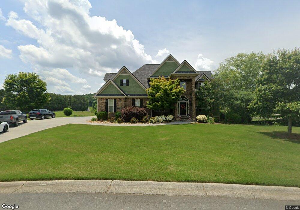
213 Riverboat Dr SW Adairsville, GA 30103
Estimated Value: $522,000 - $550,000
4
Beds
4
Baths
3,200
Sq Ft
$168/Sq Ft
Est. Value
About This Home
This home is located at 213 Riverboat Dr SW, Adairsville, GA 30103 and is currently estimated at $537,556, approximately $167 per square foot. 213 Riverboat Dr SW is a home located in Gordon County with nearby schools including Swain Elementary School, Ashworth Middle School, and Gordon Central High School.
Ownership History
Date
Name
Owned For
Owner Type
Purchase Details
Closed on
Apr 24, 2009
Sold by
L & N Custom Homes Llc
Bought by
Holbrook Derek E and Holbrook Jennifer A
Current Estimated Value
Home Financials for this Owner
Home Financials are based on the most recent Mortgage that was taken out on this home.
Original Mortgage
$245,000
Outstanding Balance
$154,213
Interest Rate
4.86%
Mortgage Type
New Conventional
Estimated Equity
$383,343
Purchase Details
Closed on
May 2, 2008
Sold by
C & M Construction Service
Bought by
L & N Custom Homes Llc
Create a Home Valuation Report for This Property
The Home Valuation Report is an in-depth analysis detailing your home's value as well as a comparison with similar homes in the area
Home Values in the Area
Average Home Value in this Area
Purchase History
| Date | Buyer | Sale Price | Title Company |
|---|---|---|---|
| Holbrook Derek E | $310,000 | -- | |
| L & N Custom Homes Llc | $80,000 | -- |
Source: Public Records
Mortgage History
| Date | Status | Borrower | Loan Amount |
|---|---|---|---|
| Open | Holbrook Derek E | $245,000 |
Source: Public Records
Tax History Compared to Growth
Tax History
| Year | Tax Paid | Tax Assessment Tax Assessment Total Assessment is a certain percentage of the fair market value that is determined by local assessors to be the total taxable value of land and additions on the property. | Land | Improvement |
|---|---|---|---|---|
| 2024 | $4,821 | $189,760 | $13,520 | $176,240 |
| 2023 | $4,519 | $177,880 | $13,520 | $164,360 |
| 2022 | $4,292 | $158,880 | $12,880 | $146,000 |
| 2021 | $3,782 | $135,000 | $12,880 | $122,120 |
| 2020 | $3,906 | $136,320 | $12,880 | $123,440 |
| 2019 | $3,926 | $136,320 | $12,880 | $123,440 |
| 2018 | $3,653 | $126,840 | $12,880 | $113,960 |
Source: Public Records
Map
Nearby Homes
- Woodridge Plan at The Landing at Miller’s Ferry
- Kensington Plan at The Landing at Miller’s Ferry
- Northwyck Plan at The Landing at Miller’s Ferry
- Richmond Plan at The Landing at Miller’s Ferry
- Brookhaven Plan at The Landing at Miller’s Ferry
- Newport I Plan at The Landing at Miller’s Ferry
- Wesley Plan at The Landing at Miller’s Ferry
- Newport II Plan at The Landing at Miller’s Ferry
- Richardson Plan at The Landing at Miller’s Ferry
- Dewhurst Plan at The Landing at Miller’s Ferry
- 178 Harbor Trail
- 269 Riverboat Dr
- 365 Riverboat Dr
- 238 Lighthouse Cove SW
- 0 Woody Rd NW Unit 10634615
- 51 Robin Rd
- 315 Woody Rd NW
- 58 Thacker Trail
- 172 Graham Cir
- 166 Graham Cir
- 125 Landing Ln SW
- 216 Riverboat Dr SW
- 228 Riverboat Dr SW
- 251 Riverboat Dr SW
- 206 Riverboat Dr SW
- 300 Leek Rd SW
- 259 Riverboat Dr SW
- 172 Riverboat Dr SW
- 168 Harbor Trail
- 269 Riverboat Dr Unit 70
- 268 Riverboat Dr SW
- 268 Riverboat Dr SW Unit 109
- 186 Leek Rd SW
- 160 Riverboat Dr SW
- 264 Leek Rd SW
- 264 Leek Rd SW Unit 17AC
- 279 Riverboat Dr SW
- 204 Harbor Trail SW
- 201 Harbor Trail SW
- 288 Riverboat Dr SW