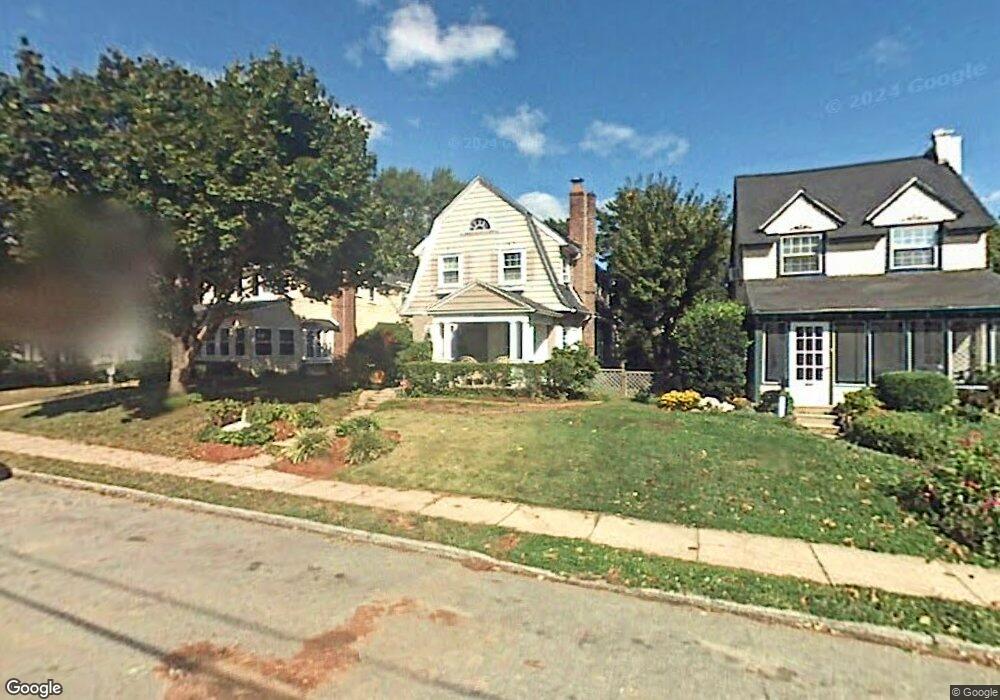
213 Rock Glen Rd Unit 53 Wynnewood, PA 19096
Penn Wynne NeighborhoodEstimated Value: $559,702 - $603,000
3
Beds
1
Bath
1,540
Sq Ft
$379/Sq Ft
Est. Value
About This Home
This home is located at 213 Rock Glen Rd Unit 53, Wynnewood, PA 19096 and is currently estimated at $584,426, approximately $379 per square foot. 213 Rock Glen Rd Unit 53 is a home located in Montgomery County with nearby schools including Penn Wynne Elementary School, Bala-Cynwyd Middle School, and Lower Merion High School.
Ownership History
Date
Name
Owned For
Owner Type
Purchase Details
Closed on
Jul 2, 2012
Sold by
Barnes David A and Barnes Stephanie Grims
Bought by
Barnes Stephanie Grims
Current Estimated Value
Purchase Details
Closed on
Oct 30, 1997
Sold by
Lazovitz Sandra M
Bought by
Barnes David A and Barnes Stephanie Grims
Create a Home Valuation Report for This Property
The Home Valuation Report is an in-depth analysis detailing your home's value as well as a comparison with similar homes in the area
Home Values in the Area
Average Home Value in this Area
Purchase History
| Date | Buyer | Sale Price | Title Company |
|---|---|---|---|
| Barnes Stephanie Grims | -- | None Available | |
| Barnes David A | $169,000 | -- |
Source: Public Records
Tax History Compared to Growth
Tax History
| Year | Tax Paid | Tax Assessment Tax Assessment Total Assessment is a certain percentage of the fair market value that is determined by local assessors to be the total taxable value of land and additions on the property. | Land | Improvement |
|---|---|---|---|---|
| 2025 | $6,082 | $145,650 | $51,520 | $94,130 |
| 2024 | $6,082 | $145,650 | $51,520 | $94,130 |
| 2023 | $5,829 | $145,650 | $51,520 | $94,130 |
| 2022 | $5,721 | $145,650 | $51,520 | $94,130 |
| 2021 | $5,591 | $145,650 | $51,520 | $94,130 |
| 2020 | $5,454 | $145,650 | $51,520 | $94,130 |
| 2019 | $5,358 | $145,650 | $51,520 | $94,130 |
| 2018 | $5,358 | $145,650 | $51,520 | $94,130 |
| 2017 | $5,161 | $145,650 | $51,520 | $94,130 |
| 2016 | $5,104 | $145,650 | $51,520 | $94,130 |
| 2015 | $4,759 | $145,650 | $51,520 | $94,130 |
| 2014 | $4,759 | $145,650 | $51,520 | $94,130 |
Source: Public Records
Map
Nearby Homes
- 243 Rock Glen Rd
- 1460 Drayton Ln
- 111 Harrogate Rd
- 222 Harrogate Rd
- 1218 Weymouth Rd
- 1406 Greywall Ln
- 400 Witley Rd
- 407 Oakwynne Dr
- 433 Haverford Rd
- 7661 Overbrook Ave
- 978 Township Line Rd
- 1843-45 N 72nd St
- 7102 City Ave
- 7641 Brentwood Rd
- 7519 Brookhaven Rd
- 7517 Brookhaven Rd
- 1721 N 72nd St
- 1635 Pennington Rd
- 7322 Drexel Rd
- 1001 City Ave Unit EE1026
- 211 Rock Glen Rd
- 215 Rock Glen Rd
- 209 Rock Glen Rd
- 217 Rock Glen Rd
- 219 Rock Glen Rd
- 214 Rock Glen Rd
- 212 Rock Glen Rd
- 202 Haverford Rd
- 216 Rock Glen Rd
- 221 Rock Glen Rd
- 218 Rock Glen Rd
- 200 Rock Glen Rd
- 223 Rock Glen Rd
- 220 Rock Glen Rd
- 1445 Manoa Rd
- 222 Rock Glen Rd
- 225 Rock Glen Rd
- 211 Trent Rd
- 213 Trent Rd
- 215 Trent Rd