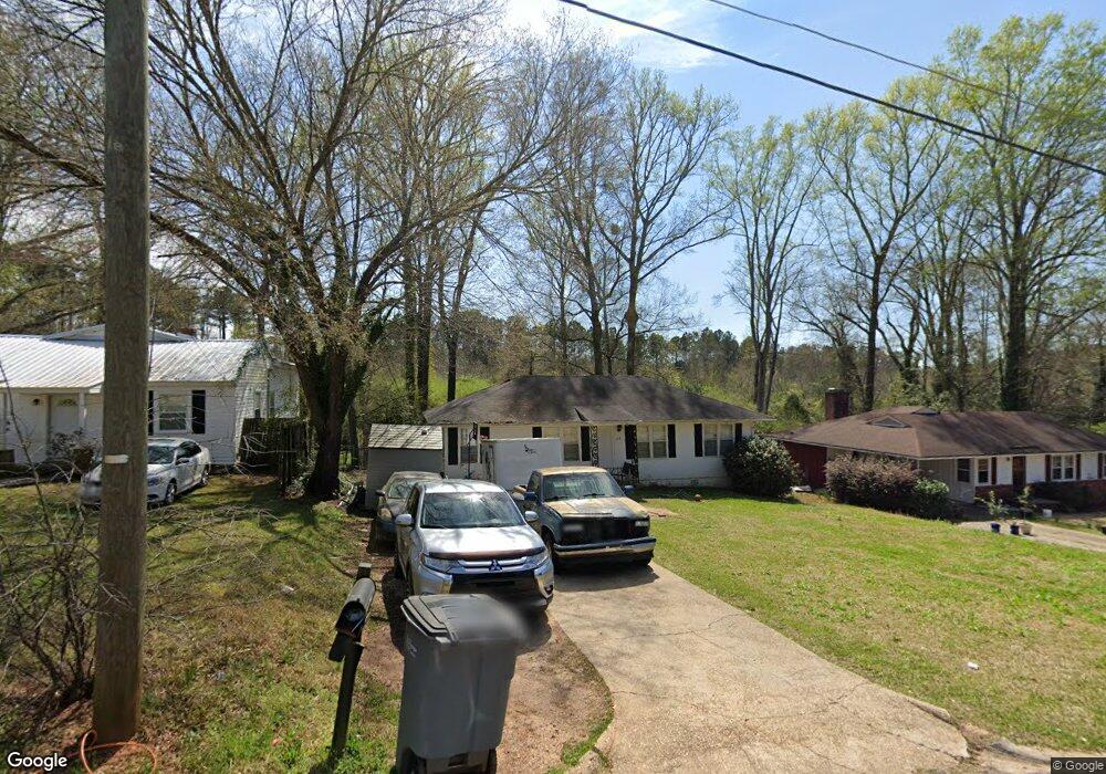
213 Rutland Cir Lagrange, GA 30241
Estimated Value: $127,000 - $164,000
3
Beds
1
Bath
1,075
Sq Ft
$130/Sq Ft
Est. Value
About This Home
This home is located at 213 Rutland Cir, Lagrange, GA 30241 and is currently estimated at $140,092, approximately $130 per square foot. 213 Rutland Cir is a home located in Troup County with nearby schools including Franklin Forest Elementary School, Hollis Hand Elementary School, and Ethel W. Kight Elementary School.
Ownership History
Date
Name
Owned For
Owner Type
Purchase Details
Closed on
Feb 21, 2008
Sold by
Citicorp Trust Bank
Bought by
Westcott David
Current Estimated Value
Purchase Details
Closed on
Nov 10, 2004
Sold by
Anthony D Worley
Bought by
Stephen Hill C
Purchase Details
Closed on
May 19, 1994
Sold by
William Mark Ward
Bought by
Anthony D Worley
Purchase Details
Closed on
Sep 27, 1988
Sold by
Freeman Roger Chuck and Freeman Brenda S
Bought by
William Mark Ward
Purchase Details
Closed on
Aug 4, 1986
Sold by
Drake William H and Drake Ellender
Bought by
Freeman Roger Chuck and Freeman Brenda S
Purchase Details
Closed on
Jan 1, 1972
Sold by
Brown Lois H
Bought by
Drake William H and Drake Ellender
Purchase Details
Closed on
Feb 1, 1968
Sold by
Mullern Orville F and Mullern Ann
Bought by
Brown Lois H
Create a Home Valuation Report for This Property
The Home Valuation Report is an in-depth analysis detailing your home's value as well as a comparison with similar homes in the area
Home Values in the Area
Average Home Value in this Area
Purchase History
| Date | Buyer | Sale Price | Title Company |
|---|---|---|---|
| Westcott David | $61,500 | -- | |
| Stephen Hill C | $66,900 | -- | |
| Anthony D Worley | $49,000 | -- | |
| William Mark Ward | $46,500 | -- | |
| Freeman Roger Chuck | $38,700 | -- | |
| Drake William H | $16,700 | -- | |
| Brown Lois H | $3,300 | -- |
Source: Public Records
Tax History Compared to Growth
Tax History
| Year | Tax Paid | Tax Assessment Tax Assessment Total Assessment is a certain percentage of the fair market value that is determined by local assessors to be the total taxable value of land and additions on the property. | Land | Improvement |
|---|---|---|---|---|
| 2024 | $1,015 | $37,232 | $8,000 | $29,232 |
| 2023 | $1,020 | $37,388 | $8,120 | $29,268 |
| 2022 | $1,003 | $35,948 | $8,120 | $27,828 |
| 2021 | $837 | $27,736 | $8,120 | $19,616 |
| 2020 | $837 | $27,736 | $8,120 | $19,616 |
| 2019 | $654 | $21,684 | $6,196 | $15,488 |
| 2018 | $654 | $21,684 | $6,196 | $15,488 |
| 2017 | $654 | $21,684 | $6,196 | $15,488 |
| 2016 | $639 | $21,174 | $6,196 | $14,978 |
| 2015 | $640 | $21,174 | $6,196 | $14,978 |
| 2014 | $652 | $21,556 | $6,196 | $15,360 |
| 2013 | -- | $22,780 | $6,196 | $16,584 |
Source: Public Records
Map
Nearby Homes
- 210 Hearthstone Dr
- 618 S Harlem Cir
- 616 S Harlem Cir
- 130 Clara Jean Ct
- 706 N Harlem Cir
- 608 S Harlem Cir
- 5 Curran Ave
- 121 Ct
- 606 S Harlem Cir
- 600 S Harlem Cir
- 131 Foch St
- 305 Lenox Cir
- 226 Lenox Cir
- 105 Lenox Cir
- 101 Lenox Cir
- 0 N Barnard Ave
- 121 de Groat St
- 906 Georgia Ave
- 902 Georgia Ave
- 621 Arthur St
- 215 Rutland Cir
- 209 Rutland Cir
- 217 Rutland Cir
- 207 Rutland Cir
- 210 Rutland Cir
- 208 Rutland Cir
- 206 Rutland Cir
- 205 Rutland Cir
- 214 Rutland Cir
- 221 Rutland Cir
- 204 Rutland Cir
- 204 Rutland Cir Unit 19
- 203 Rutland Cir
- 202 Rutland Cir
- 223 Rutland Cir
- 216 Rutland Cir
- 225 Rutland Cir
- 201 Rutland Cir
- 200 Rutland Cir
- 309 Commerce Ave