213 S 2nd St West Branch, MI 48661
Estimated Value: $100,913 - $147,000
2
Beds
1
Bath
900
Sq Ft
$139/Sq Ft
Est. Value
About This Home
This home is located at 213 S 2nd St, West Branch, MI 48661 and is currently estimated at $125,228, approximately $139 per square foot. 213 S 2nd St is a home located in Ogemaw County with nearby schools including Surline Elementary School, Surline Middle School, and Ogemaw Heights High School.
Ownership History
Date
Name
Owned For
Owner Type
Purchase Details
Closed on
Jul 28, 2008
Sold by
Federal National Mortgage Association
Bought by
Fransee Daniel E
Current Estimated Value
Purchase Details
Closed on
Oct 23, 2007
Sold by
Mortgage Electronic Registration Systems
Bought by
Federal National Mortgage Association
Purchase Details
Closed on
Apr 19, 2007
Sold by
Mers Inc
Bought by
Mcintire Shawn P
Purchase Details
Closed on
Mar 24, 2006
Sold by
Izworski Beckie and Izworski Frank T
Bought by
Mcintire Shawn P
Create a Home Valuation Report for This Property
The Home Valuation Report is an in-depth analysis detailing your home's value as well as a comparison with similar homes in the area
Home Values in the Area
Average Home Value in this Area
Purchase History
| Date | Buyer | Sale Price | Title Company |
|---|---|---|---|
| Fransee Daniel E | $28,400 | -- | |
| Federal National Mortgage Association | -- | -- | |
| Mcintire Shawn P | $73,255 | -- | |
| Mcintire Shawn P | $70,000 | -- |
Source: Public Records
Tax History Compared to Growth
Tax History
| Year | Tax Paid | Tax Assessment Tax Assessment Total Assessment is a certain percentage of the fair market value that is determined by local assessors to be the total taxable value of land and additions on the property. | Land | Improvement |
|---|---|---|---|---|
| 2025 | $1,512 | $37,200 | $0 | $0 |
| 2024 | $10 | $37,500 | $0 | $0 |
| 2023 | $989 | $32,400 | $0 | $0 |
| 2022 | $1,385 | $26,900 | $0 | $0 |
| 2021 | $1,311 | $24,600 | $0 | $0 |
| 2020 | $1,318 | $23,000 | $0 | $0 |
| 2019 | $1,269 | $22,100 | $0 | $0 |
| 2018 | $1,232 | $21,500 | $0 | $0 |
| 2017 | $1,182 | $22,300 | $0 | $0 |
| 2016 | $739 | $14,400 | $0 | $0 |
| 2015 | $708 | $13,500 | $0 | $0 |
| 2014 | -- | $14,300 | $0 | $0 |
Source: Public Records
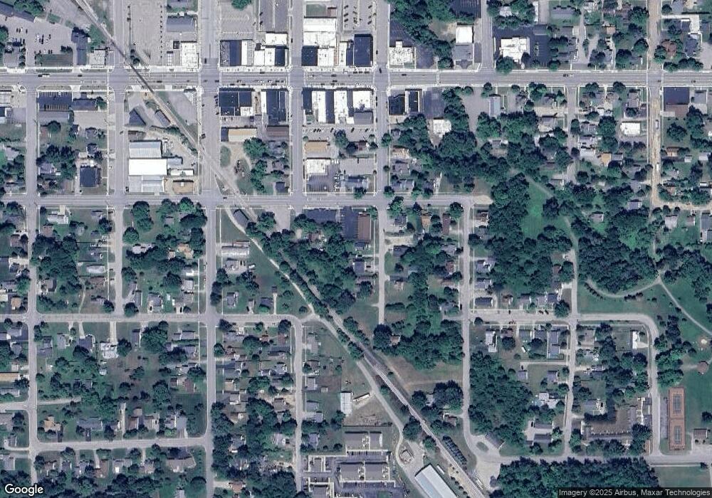
Map
Nearby Homes
- 0 S First St Unit 1932836
- 315 S 4th St
- 227 N 1st St
- 106 S Valley St
- 240 N Burgess St
- 361 Irons Park Dr
- 324 N 4th St
- 195 Fremont St
- 272 Windemere Place Unit 14A
- 268 Windemere Place Unit 14B
- 0 Fairview Rd Unit 1939430
- 206 Highland St
- Parcel 1 M-76
- Parcel 2 M-76
- 0 W M-76 Unit 1925090
- 0 W M-76 Unit 1905107
- 2190 Fox Run
- 2249 Fox Run
- 2301 Birchcrest Dr
- 2371 Pilatus Ct
- 203 S 2nd St
- 221 S 2nd St
- 227 S 2nd St
- 235 S 2nd St
- 248 S 2nd St
- 222 S 2nd St
- 214 S 2nd St
- 0 S First St Unit 1815827
- 0 S First St
- 0 S First St Unit 77001307203
- 0 S First St Unit 1896148
- 0 S First St Unit 201819868
- 0 S First St Unit 10 1898523
- 222 W Ripley St
- 222 W Ripley St
- 240 Wright St
- 409 S 1st St
- 110 E Wright St
- 422 Third
- 111 W Wright St