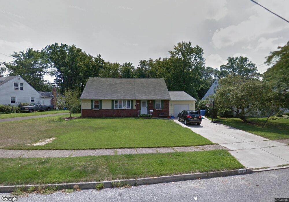
213 S Brookfield Rd Cherry Hill, NJ 08034
Estimated Value: $456,721 - $497,000
4
Beds
2
Baths
1,890
Sq Ft
$251/Sq Ft
Est. Value
About This Home
This home is located at 213 S Brookfield Rd, Cherry Hill, NJ 08034 and is currently estimated at $474,680, approximately $251 per square foot. 213 S Brookfield Rd is a home located in Camden County with nearby schools including Horace Mann Elementary School, John A Carusi Middle School, and Cherry Hill High-West High School.
Ownership History
Date
Name
Owned For
Owner Type
Purchase Details
Closed on
Jun 10, 2010
Sold by
Ginzberg Wayne B and Ginzberg Rosemary
Bought by
Lewis Michael J and Lewis Julie
Current Estimated Value
Home Financials for this Owner
Home Financials are based on the most recent Mortgage that was taken out on this home.
Original Mortgage
$226,844
Outstanding Balance
$153,146
Interest Rate
5.12%
Mortgage Type
FHA
Estimated Equity
$321,534
Purchase Details
Closed on
Jul 7, 2000
Sold by
Estate Of Ann W Looby
Bought by
Ginzberg Wayne B
Home Financials for this Owner
Home Financials are based on the most recent Mortgage that was taken out on this home.
Original Mortgage
$123,978
Interest Rate
8.18%
Mortgage Type
FHA
Create a Home Valuation Report for This Property
The Home Valuation Report is an in-depth analysis detailing your home's value as well as a comparison with similar homes in the area
Home Values in the Area
Average Home Value in this Area
Purchase History
| Date | Buyer | Sale Price | Title Company |
|---|---|---|---|
| Lewis Michael J | $229,000 | -- | |
| Ginzberg Wayne B | $125,000 | -- |
Source: Public Records
Mortgage History
| Date | Status | Borrower | Loan Amount |
|---|---|---|---|
| Open | Lewis Michael J | $226,844 | |
| Previous Owner | Ginzberg Wayne B | $123,978 |
Source: Public Records
Tax History
| Year | Tax Paid | Tax Assessment Tax Assessment Total Assessment is a certain percentage of the fair market value that is determined by local assessors to be the total taxable value of land and additions on the property. | Land | Improvement |
|---|---|---|---|---|
| 2025 | $8,508 | $190,800 | $62,000 | $128,800 |
| 2024 | $8,017 | $190,800 | $62,000 | $128,800 |
| 2023 | $8,017 | $190,800 | $62,000 | $128,800 |
| 2022 | $7,796 | $190,800 | $62,000 | $128,800 |
| 2021 | $7,821 | $190,800 | $62,000 | $128,800 |
| 2020 | $7,725 | $190,800 | $62,000 | $128,800 |
| 2019 | $7,722 | $190,800 | $62,000 | $128,800 |
| 2018 | $7,701 | $190,800 | $62,000 | $128,800 |
| 2017 | $7,596 | $190,800 | $62,000 | $128,800 |
| 2016 | $7,495 | $190,800 | $62,000 | $128,800 |
| 2015 | $7,376 | $190,800 | $62,000 | $128,800 |
| 2014 | $7,294 | $190,800 | $62,000 | $128,800 |
Source: Public Records
Map
Nearby Homes
- 308 S Woodstock Dr
- 132 Oakdale Rd
- 381 Tavistock
- 1022 Haral Place
- 290 Tavistock
- 175 Mansfield Blvd N
- 301 Tavistock
- 414 Tavistock
- 204 Tavistock
- 210 Philellena Rd
- 2 Mcphelin Ave
- 302 Provincetown Rd
- 95 Lane of Acres
- 133 Tavistock
- 16 Moore Ave
- 121 Reillywood Ave
- 104 Treaty Elm Ln
- 371 Kresson Rd
- 139 Treaty Elm Ln
- 144 Centura
- 211 S Brookfield Rd
- 215 S Brookfield Rd
- 209 S Brookfield Rd
- 217 S Brookfield Rd
- 210 S Brookfield Rd
- 207 S Brookfield Rd
- 219 S Brookfield Rd
- 216 S Brookfield Rd
- 208 S Brookfield Rd
- 1010 Cedarbrook Rd
- 218 S Brookfield Rd
- 205 S Brookfield Rd
- 206 S Brookfield Rd
- 221 S Brookfield Rd
- 1013 Cedarbrook Rd
- 1008 Cedarbrook Rd
- 204 S Brookfield Rd
- 220 S Brookfield Rd
- 1011 Cedarbrook Rd
- 203 S Brookfield Rd
Your Personal Tour Guide
Ask me questions while you tour the home.