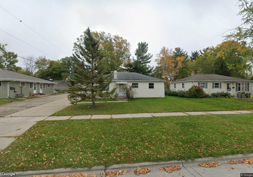
213 S Locust St Green Bay, WI 54303
Western Corridor NeighborhoodEstimated Value: $219,216 - $289,000
3
Beds
1
Bath
1,000
Sq Ft
$245/Sq Ft
Est. Value
About This Home
This home is located at 213 S Locust St, Green Bay, WI 54303 and is currently estimated at $244,554, approximately $244 per square foot. 213 S Locust St is a home located in Brown County with nearby schools including Chappell Elementary School, Franklin Middle School, and West High School.
Ownership History
Date
Name
Owned For
Owner Type
Purchase Details
Closed on
Sep 30, 2009
Sold by
Marquis Mary J
Bought by
Elm Patricia A and Elm Sandra L
Current Estimated Value
Home Financials for this Owner
Home Financials are based on the most recent Mortgage that was taken out on this home.
Original Mortgage
$93,930
Outstanding Balance
$61,430
Interest Rate
5.19%
Mortgage Type
New Conventional
Estimated Equity
$183,124
Create a Home Valuation Report for This Property
The Home Valuation Report is an in-depth analysis detailing your home's value as well as a comparison with similar homes in the area
Home Values in the Area
Average Home Value in this Area
Purchase History
| Date | Buyer | Sale Price | Title Company |
|---|---|---|---|
| Elm Patricia A | $94,000 | Bay Title |
Source: Public Records
Mortgage History
| Date | Status | Borrower | Loan Amount |
|---|---|---|---|
| Open | Elm Patricia A | $93,930 |
Source: Public Records
Tax History Compared to Growth
Tax History
| Year | Tax Paid | Tax Assessment Tax Assessment Total Assessment is a certain percentage of the fair market value that is determined by local assessors to be the total taxable value of land and additions on the property. | Land | Improvement |
|---|---|---|---|---|
| 2024 | $2,497 | $140,100 | $25,400 | $114,700 |
| 2023 | $2,358 | $140,100 | $25,400 | $114,700 |
| 2022 | $2,326 | $140,100 | $25,400 | $114,700 |
| 2021 | $2,080 | $96,300 | $20,600 | $75,700 |
| 2020 | $2,132 | $96,300 | $20,600 | $75,700 |
| 2019 | $2,051 | $96,300 | $20,600 | $75,700 |
| 2018 | $2,012 | $96,300 | $20,600 | $75,700 |
| 2017 | $2,082 | $96,300 | $20,600 | $75,700 |
| 2016 | $1,970 | $96,300 | $20,600 | $75,700 |
| 2015 | $2,080 | $96,300 | $20,600 | $75,700 |
| 2014 | $2,108 | $96,300 | $20,600 | $75,700 |
| 2013 | $2,108 | $96,300 | $20,600 | $75,700 |
Source: Public Records
Map
Nearby Homes
- 1411 Shawano Ave
- 1273 San Jose Place
- 1264 Shawano Ave
- 1231 Shawano Ave
- 1215 Shawano Ave
- 141 Hudson St
- 1280 Division St Unit 1282
- 821 Tommark St
- 412 Saratoga St
- 838 S Fisk St
- 1169 Division St
- 1053 Ernst Dr
- 809 Mitchell St
- 131 Garfield St
- 1082 Western Ave
- 1286 7th St
- 1527 N Mennen Ct
- 1123 S Fisk St
- 709 N Locust St
- 1193 Bond St
- 217 S Locust St
- 223 S Locust St
- 201 S Locust St
- 212 S Platten St
- 216 S Platten St
- 206 S Platten St
- 229 S Locust St
- 202 S Platten St
- 222 S Platten St
- 141 S Locust St Unit 143
- 141 S Locust St
- 212 S Locust St
- 206 S Locust St
- 216 S Locust St
- 144 S Platten St
- 228 S Platten St
- 200 S Locust St Unit 202
- 222 S Locust St
- 138 S Platten St
- 135 S Locust St