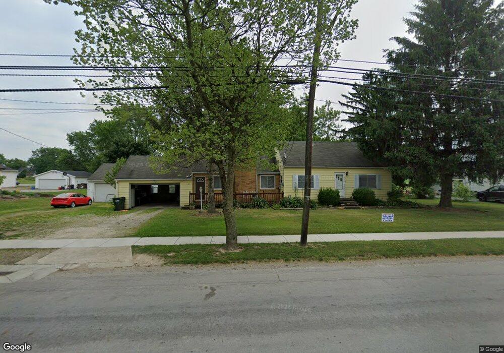
213 S Main St Creston, OH 44217
Estimated Value: $208,933 - $251,000
3
Beds
2
Baths
1,326
Sq Ft
$170/Sq Ft
Est. Value
About This Home
This home is located at 213 S Main St, Creston, OH 44217 and is currently estimated at $225,983, approximately $170 per square foot. 213 S Main St is a home located in Wayne County with nearby schools including Norwayne Elementary School, Norwayne Middle School, and Norwayne High School.
Ownership History
Date
Name
Owned For
Owner Type
Purchase Details
Closed on
Nov 18, 2005
Sold by
Newark Walter K
Bought by
Fearer Keith R and Fearer Joanne M
Current Estimated Value
Home Financials for this Owner
Home Financials are based on the most recent Mortgage that was taken out on this home.
Original Mortgage
$87,300
Outstanding Balance
$52,522
Interest Rate
7.69%
Mortgage Type
Fannie Mae Freddie Mac
Estimated Equity
$173,461
Purchase Details
Closed on
Sep 30, 1992
Sold by
Everett Roger L and Everett Ellen
Bought by
Newark Walter K and Newark Walter
Create a Home Valuation Report for This Property
The Home Valuation Report is an in-depth analysis detailing your home's value as well as a comparison with similar homes in the area
Home Values in the Area
Average Home Value in this Area
Purchase History
| Date | Buyer | Sale Price | Title Company |
|---|---|---|---|
| Fearer Keith R | $97,000 | Majestic Title Agency Llc | |
| Newark Walter K | $62,500 | -- |
Source: Public Records
Mortgage History
| Date | Status | Borrower | Loan Amount |
|---|---|---|---|
| Open | Fearer Keith R | $87,300 |
Source: Public Records
Tax History Compared to Growth
Tax History
| Year | Tax Paid | Tax Assessment Tax Assessment Total Assessment is a certain percentage of the fair market value that is determined by local assessors to be the total taxable value of land and additions on the property. | Land | Improvement |
|---|---|---|---|---|
| 2024 | $2,483 | $56,620 | $15,290 | $41,330 |
| 2023 | $2,483 | $56,620 | $15,290 | $41,330 |
| 2022 | $2,150 | $43,220 | $11,670 | $31,550 |
| 2021 | $1,947 | $43,220 | $11,670 | $31,550 |
| 2020 | $1,960 | $43,220 | $11,670 | $31,550 |
| 2019 | $1,444 | $32,370 | $11,670 | $20,700 |
| 2018 | $1,451 | $32,370 | $11,670 | $20,700 |
| 2017 | $1,377 | $32,370 | $11,670 | $20,700 |
| 2016 | $1,321 | $30,490 | $11,670 | $18,820 |
| 2015 | $1,313 | $30,490 | $11,670 | $18,820 |
| 2014 | $1,324 | $30,490 | $11,670 | $18,820 |
| 2013 | $1,446 | $32,380 | $14,440 | $17,940 |
Source: Public Records
Map
Nearby Homes
- 124 Garden St
- 0 Burbank St
- 112 Brooklyn Ave
- 128 Burbank St
- 147 N Main St
- 150 N Main St
- 00 Sterling St
- 210 Evergreen Dr
- 5913 Stuckey Rd
- 9770 Wooster Pike Rd
- 747 Britton Rd
- 13731 Kauffman Ave
- 9376 Daniels Rd
- 5058 Catawba Place Ln
- 5222 Greenwich Rd Unit 11
- 9372 Towpath Trail
- 9250 Daniels Rd
- 119 Center St
- 6049 Valley Quail Ct
- 123 Clevidence Ct