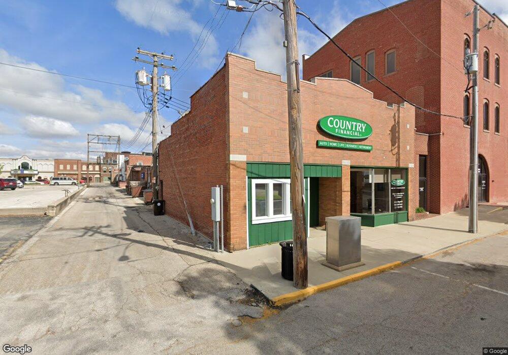
213 S Mclean St Lincoln, IL 62656
--
Bed
--
Bath
--
Sq Ft
1,307
Sq Ft Lot
About This Home
This home is located at 213 S Mclean St, Lincoln, IL 62656. 213 S Mclean St is a home located in Logan County with nearby schools including Washington-Monroe Elementary School, Lincoln Junior High School, and Lincoln Community High School.
Ownership History
Date
Name
Owned For
Owner Type
Purchase Details
Closed on
Jan 10, 2024
Sold by
Novak-Bock Trust
Bought by
Bock Farms Llc
Purchase Details
Closed on
Mar 1, 2018
Sold by
Bock June A Novak
Bought by
Nagrocki Adam J
Home Financials for this Owner
Home Financials are based on the most recent Mortgage that was taken out on this home.
Original Mortgage
$53,000
Interest Rate
4.22%
Mortgage Type
New Conventional
Purchase Details
Closed on
Aug 10, 2015
Sold by
Novak Bock June A and Daniel W Bock Estate Daniel W Bock Estate
Bought by
Novak-Bock Trust
Create a Home Valuation Report for This Property
The Home Valuation Report is an in-depth analysis detailing your home's value as well as a comparison with similar homes in the area
Home Values in the Area
Average Home Value in this Area
Purchase History
| Date | Buyer | Sale Price | Title Company |
|---|---|---|---|
| Bock Farms Llc | -- | None Available | |
| Nagrocki Adam J | -- | -- | |
| Novak-Bock Trust | -- | None Available | |
| Bock June A Novak | -- | -- |
Source: Public Records
Mortgage History
| Date | Status | Borrower | Loan Amount |
|---|---|---|---|
| Previous Owner | Nagrocki Adam J | $53,000 |
Source: Public Records
Tax History Compared to Growth
Tax History
| Year | Tax Paid | Tax Assessment Tax Assessment Total Assessment is a certain percentage of the fair market value that is determined by local assessors to be the total taxable value of land and additions on the property. | Land | Improvement |
|---|---|---|---|---|
| 2024 | $1,414 | $15,420 | $4,620 | $10,800 |
| 2023 | $1,350 | $14,280 | $4,280 | $10,000 |
| 2022 | $1,317 | $13,350 | $4,000 | $9,350 |
| 2021 | $1,269 | $12,820 | $3,840 | $8,980 |
| 2020 | $1,253 | $12,630 | $3,780 | $8,850 |
| 2019 | $1,251 | $12,630 | $3,780 | $8,850 |
| 2018 | $1,242 | $12,390 | $3,710 | $8,680 |
| 2017 | $1,235 | $12,390 | $3,710 | $8,680 |
| 2016 | $1,203 | $12,380 | $3,710 | $8,670 |
| 2015 | $1,169 | $11,960 | $3,580 | $8,380 |
| 2014 | $1,169 | $11,960 | $3,580 | $8,380 |
| 2013 | $1,169 | $11,350 | $3,400 | $7,950 |
| 2012 | $1,169 | $11,550 | $3,460 | $8,090 |
Source: Public Records
Map
Nearby Homes
- 113 N Kickapoo St
- 410 S Chicago St
- 419 Decatur St
- 521 Decatur St
- 402 Wyatt Ave
- 418 Wyatt Ave
- 928 Broadway St
- 617 Decatur St
- 1025 Broadway St
- 311 S Logan St
- 1121 Broadway St
- 1225 Delavan St
- 1227 Delavan St
- 515 S Maple St Unit 517
- 915 Peoria St
- 225 4th St
- 716 S Kickapoo St
- 620 Tremont St
- 228 4th St
- 502 Williamette Ave
- 601 Pulaski St
- 501 Pulaski St
- 617 Pulaski St Unit 619 Pulaski Street
- 617 Pulaski St
- 217 S Hamilton St
- 211 S Hamilton St
- 225 S Hamilton St
- 625 Pulaski St
- 625 Pulaski St Unit 629 Pulaski Street
- 227 S Hamilton St
- 427 Pulaski St
- 112 S Mclean St
- 229 S Kickapoo St
- 521 Clinton St
- 129 S Kickapoo St
- 307 S Hamilton St
- 320 S Mclean St
- 125 S Kickapoo St
- 415 Pulaski St
- 711 Broadway St