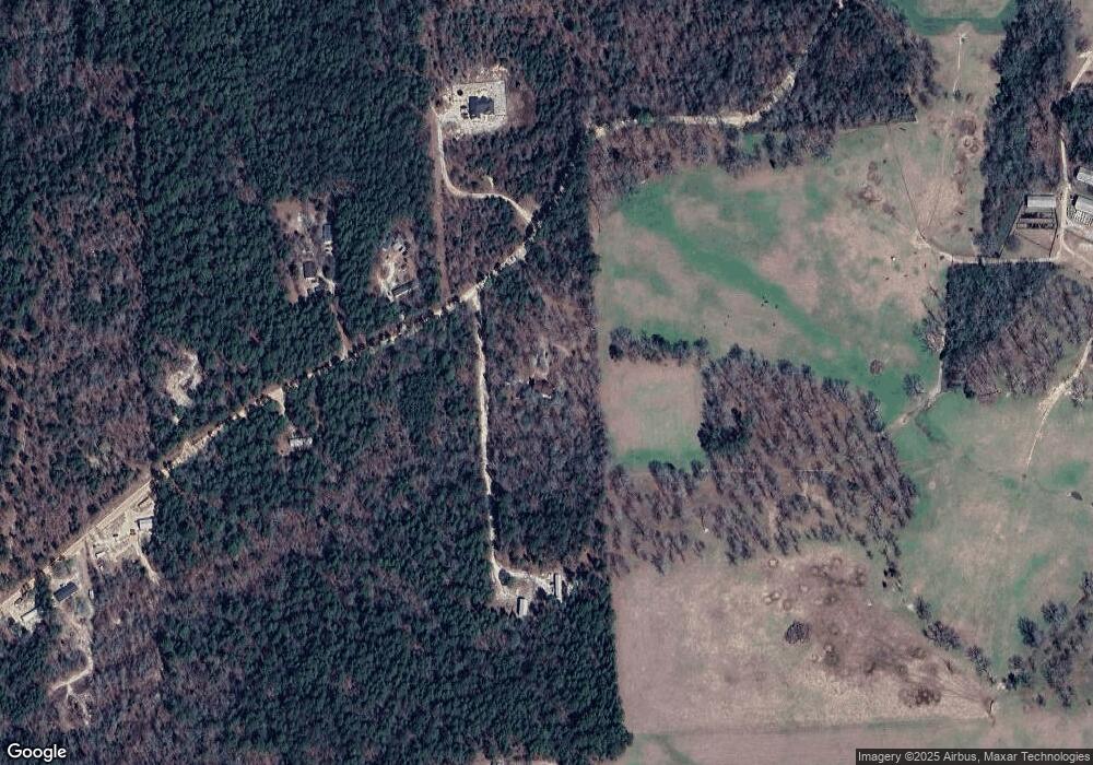
213 Sampson Rd Gilbert, SC 29054
Estimated Value: $422,000 - $501,000
4
Beds
4
Baths
3,163
Sq Ft
$147/Sq Ft
Est. Value
About This Home
This home is located at 213 Sampson Rd, Gilbert, SC 29054 and is currently estimated at $464,026, approximately $146 per square foot. 213 Sampson Rd is a home located in Lexington County with nearby schools including Gilbert Elementary School, Gilbert Middle School, and Gilbert High School.
Ownership History
Date
Name
Owned For
Owner Type
Purchase Details
Closed on
Jun 13, 2008
Sold by
Karst Robert K and Karst Nancy H
Bought by
Wells Fargo Bank Na and Certificate Holders Of Asset Backed Pass
Current Estimated Value
Purchase Details
Closed on
Jan 29, 2008
Sold by
Wells Fargo Bank Na
Bought by
Lundeen John E
Home Financials for this Owner
Home Financials are based on the most recent Mortgage that was taken out on this home.
Original Mortgage
$236,073
Interest Rate
5.13%
Mortgage Type
FHA
Create a Home Valuation Report for This Property
The Home Valuation Report is an in-depth analysis detailing your home's value as well as a comparison with similar homes in the area
Purchase History
| Date | Buyer | Sale Price | Title Company |
|---|---|---|---|
| Wells Fargo Bank Na | $252,832 | -- | |
| Lundeen John E | $230,000 | -- |
Source: Public Records
Mortgage History
| Date | Status | Borrower | Loan Amount |
|---|---|---|---|
| Previous Owner | Lundeen John E | $236,073 |
Source: Public Records
Tax History
| Year | Tax Paid | Tax Assessment Tax Assessment Total Assessment is a certain percentage of the fair market value that is determined by local assessors to be the total taxable value of land and additions on the property. | Land | Improvement |
|---|---|---|---|---|
| 2024 | $925 | $7,841 | $646 | $7,195 |
| 2023 | $760 | $7,841 | $646 | $7,195 |
| 2022 | $1,179 | $7,841 | $646 | $7,195 |
| 2020 | $1,207 | $9,725 | $2,530 | $7,195 |
| 2019 | $1,695 | $9,110 | $2,216 | $6,894 |
| 2018 | $1,669 | $9,110 | $2,216 | $6,894 |
| 2017 | $1,624 | $9,110 | $2,216 | $6,894 |
| 2016 | $1,600 | $9,109 | $2,216 | $6,893 |
| 2014 | $1,603 | $9,507 | $2,508 | $6,999 |
| 2013 | -- | $9,500 | $2,500 | $7,000 |
Source: Public Records
Map
Nearby Homes
- 155 Seleta Cir
- 820 Martin Smith Rd
- 0 Martin Smith Rd Unit 24428119
- 342 Isiah Hallman Rd
- 257 Rimrock Rd
- 0 Ben Franklin Rd
- 201 Cedar Branch Ct
- 436 Peak Copper Ct
- 154 Copper Bluff Rd
- 0 Martin Smith Rd
- 0 Platt Springs Rd Unit 601659
- TBD Neely Wingard at Musket Rd
- 1519 Elbert Taylor Rd
- 1835 Neely Wingard Rd
- TBD Calks Ferry Rd
- 220 Cassique Dr
- 132 Hooker St
- 1539 Ben Franklin Rd
- 129 Loyd Ct
- 1153 Marcellus Rd
- 236 Sampson Rd
- 225 Sampson Rd
- 0 Sampson Rd Unit 227954
- 0 Sampson Rd Unit 345731
- 0 Sampson Rd Unit 358140
- 0 Sampson Rd Unit 559842
- 0 Sampson Rd Unit 533274
- 245 Sampson Rd
- 9 Byerly Ln
- 19 Byerly Ln
- 313 Sampson Rd
- 288 Sampson Rd
- 181 Seleta Cir
- 291 Sampson Rd
- 1041 Pond Branch Rd
- 1051 Pond Branch Rd
- 1055 Pond Branch Rd
- 1061 Pond Branch Rd
- 175 Seleta Cir
- 1067 Pond Brand Rd
