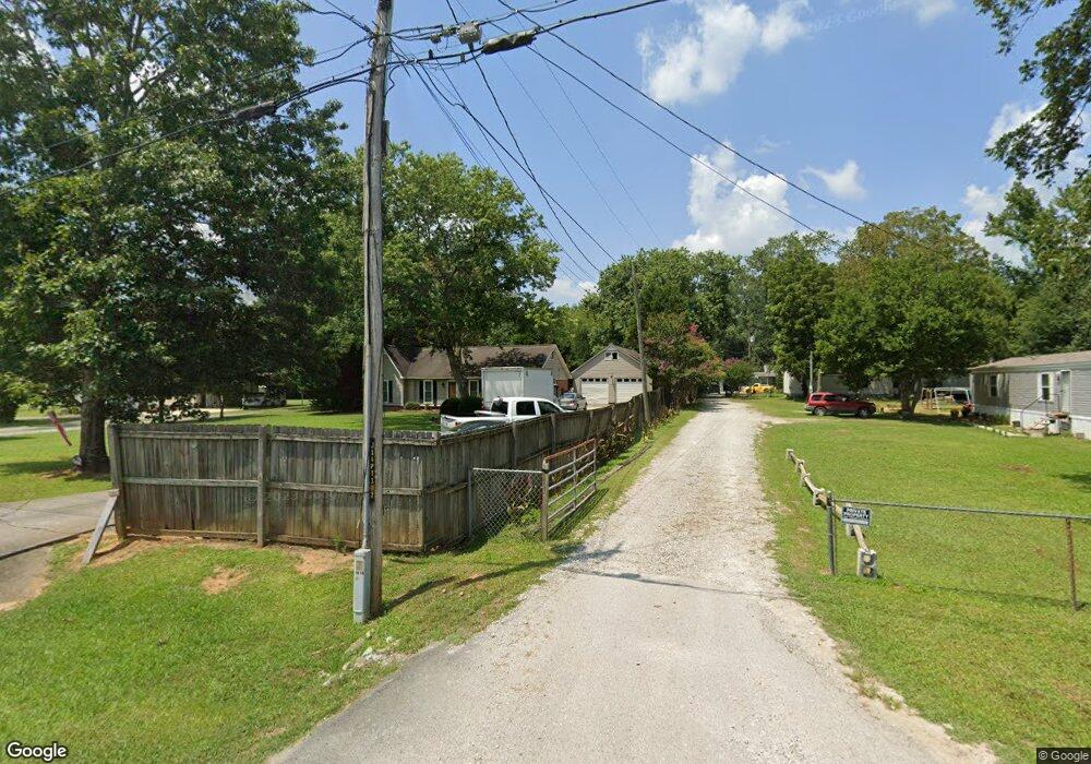
213 Starky Rd Hartselle, AL 35640
Estimated Value: $124,000 - $327,000
--
Bed
--
Bath
1,368
Sq Ft
$153/Sq Ft
Est. Value
About This Home
This home is located at 213 Starky Rd, Hartselle, AL 35640 and is currently estimated at $208,778, approximately $152 per square foot. 213 Starky Rd is a home located in Morgan County with nearby schools including Danville-Neel Elementary School, Danville Middle School, and Danville High School.
Ownership History
Date
Name
Owned For
Owner Type
Purchase Details
Closed on
Apr 24, 2024
Sold by
Hoffman Christy L Sengstacke & Roger Ear
Bought by
Hoffman Christy L and Hoffman Roger Earl
Current Estimated Value
Home Financials for this Owner
Home Financials are based on the most recent Mortgage that was taken out on this home.
Original Mortgage
$170,000
Outstanding Balance
$167,392
Interest Rate
6.74%
Mortgage Type
New Conventional
Estimated Equity
$41,386
Purchase Details
Closed on
Oct 7, 2005
Sold by
Martin David
Bought by
Sengstacke Hoffman Christy L
Create a Home Valuation Report for This Property
The Home Valuation Report is an in-depth analysis detailing your home's value as well as a comparison with similar homes in the area
Home Values in the Area
Average Home Value in this Area
Purchase History
| Date | Buyer | Sale Price | Title Company |
|---|---|---|---|
| Hoffman Christy L | $85,000 | None Listed On Document | |
| Sengstacke Hoffman Christy L | -- | None Available |
Source: Public Records
Mortgage History
| Date | Status | Borrower | Loan Amount |
|---|---|---|---|
| Open | Hoffman Christy L | $170,000 | |
| Closed | Hoffman Christy L | $170,000 |
Source: Public Records
Tax History Compared to Growth
Tax History
| Year | Tax Paid | Tax Assessment Tax Assessment Total Assessment is a certain percentage of the fair market value that is determined by local assessors to be the total taxable value of land and additions on the property. | Land | Improvement |
|---|---|---|---|---|
| 2024 | $492 | $14,560 | $2,370 | $12,190 |
| 2023 | $492 | $14,560 | $2,370 | $12,190 |
| 2022 | $492 | $14,560 | $2,370 | $12,190 |
| 2021 | $391 | $12,470 | $2,300 | $10,170 |
| 2020 | $391 | $21,480 | $2,300 | $19,180 |
| 2019 | $391 | $11,900 | $0 | $0 |
| 2015 | $344 | $10,620 | $0 | $0 |
| 2014 | $344 | $10,620 | $0 | $0 |
| 2013 | -- | $9,860 | $0 | $0 |
Source: Public Records
Map
Nearby Homes
- 4705 Joe Davis Dr
- 4417 Dogwood Dr SW
- 4306 Dogwood Dr SW
- 4302 Dogwood Dr SW
- 0 Bird Spring Rd Unit 23365767
- 517 Austinville Flint Rd SW
- 513 Austinville Flint Rd SW
- 509 Austinville Flint Rd SW
- 505 Austinville Flint Rd SW
- 501 Austinville Flint Rd SW
- 419 Austinville Flint Rd SW
- 415 Austinville Flint Rd SW
- 220 Clear Creek Dr
- 317 Austinville Flint Rd SW
- 11 acres Austinville Flint Rd SW
- 4302 Central Pkwy SW
- 310 Skykomish Rd
- 312 Skykomish Rd
- 4115 White River
- 2.8 Acres Highway 31 S