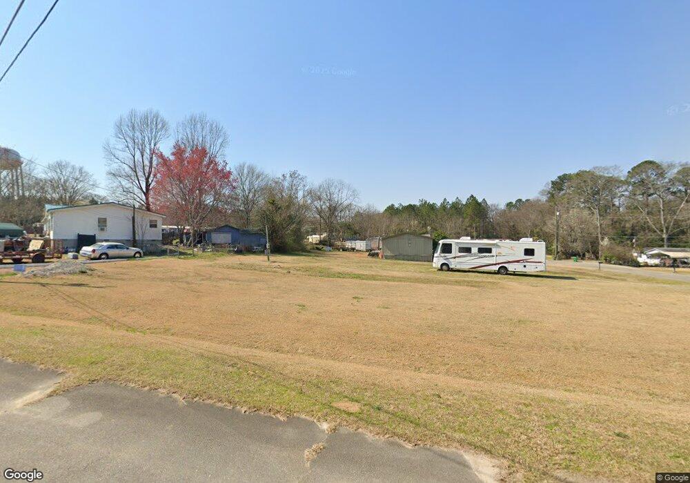
213 Surrey Dr Warner Robins, GA 31093
Estimated Value: $51,994 - $100,000
--
Bed
--
Bath
--
Sq Ft
0.35
Acres
About This Home
This home is located at 213 Surrey Dr, Warner Robins, GA 31093 and is currently estimated at $83,998. 213 Surrey Dr is a home with nearby schools including Centerville Elementary School, Thomson Middle School, and Northside High School.
Ownership History
Date
Name
Owned For
Owner Type
Purchase Details
Closed on
Oct 16, 2024
Sold by
Mobile Home Rentals Llc
Bought by
Springlake Mhp Llc
Current Estimated Value
Purchase Details
Closed on
May 3, 2013
Sold by
Byrd & Company Llc
Bought by
Csc Warner Robins Llc
Purchase Details
Closed on
Dec 28, 2002
Sold by
Byrd Mark S (Trustee)
Bought by
Byrd & Company Llc
Purchase Details
Closed on
Dec 27, 2002
Sold by
Byrd Robert S
Bought by
Byrd Mark S (Trustee)
Create a Home Valuation Report for This Property
The Home Valuation Report is an in-depth analysis detailing your home's value as well as a comparison with similar homes in the area
Home Values in the Area
Average Home Value in this Area
Purchase History
| Date | Buyer | Sale Price | Title Company |
|---|---|---|---|
| Springlake Mhp Llc | $18,000 | Stewart Title Guaranty Company | |
| Springlake Mhp Llc | $18,000 | Stewart Title Guaranty Company | |
| Csc Warner Robins Llc | $3,300,000 | -- | |
| Byrd & Company Llc | -- | -- | |
| Byrd Mark S (Trustee) | -- | -- |
Source: Public Records
Tax History Compared to Growth
Tax History
| Year | Tax Paid | Tax Assessment Tax Assessment Total Assessment is a certain percentage of the fair market value that is determined by local assessors to be the total taxable value of land and additions on the property. | Land | Improvement |
|---|---|---|---|---|
| 2024 | $230 | $9,600 | $7,200 | $2,400 |
| 2023 | $232 | $9,600 | $7,200 | $2,400 |
| 2022 | $184 | $7,600 | $5,200 | $2,400 |
| 2021 | $155 | $6,400 | $5,200 | $1,200 |
| 2020 | $156 | $6,400 | $5,200 | $1,200 |
| 2019 | $156 | $6,400 | $5,200 | $1,200 |
| 2018 | $156 | $6,400 | $5,200 | $1,200 |
| 2017 | $156 | $6,400 | $5,200 | $1,200 |
| 2016 | $157 | $6,400 | $5,200 | $1,200 |
Source: Public Records
Map
Nearby Homes
- 101 Kent Dr
- 205 Cambridge Dr
- 918 Collins Ave Unit 36
- 118 Ridgewood Dr
- 305 Brantley Rd Unit 6
- 208 Sunnymeade Dr
- 111 Shamrock Dr
- 708 N Houston Lake Blvd
- 202 Brantley Rd
- 116 Red Birch Ln
- 1089 Dunbar Rd
- 0 N Houston Lake Blvd Unit 10307131
- 106 Maple Glen Ct
- 104 Sourwood Ln
- 113 Sourwood Ln
- 113 Sourwood Ln
- 111 Red Oak Glen
- 224 Crestwood Cir
- 214 Surrey Dr
- 208 Surrey Dr
- 103 Kent Dr
- 105 Queens Ct
- 0 Coventry Dr
- 104 Coventry Dr
- 209 Cambridge Dr
- 205 Surrey Dr
- 100 Kent Dr
- 225 Wakefield Dr
- 202 Surrey Dr
- 104 Saxon Ct
- 117 Surrey Dr
- 0 Surrey Dr Unit 7262937
- 95 Hampshire Ln
- 97 Hampshire Ln
- 102 New Castle Dr
- 108 Cambridge Dr
- 0 Hampshire Ln
- 109 New Castle Dr