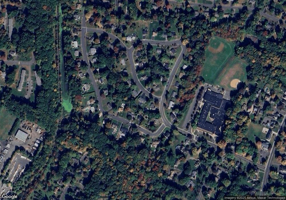
213 Taylor Ave Cheshire, CT 06410
Estimated Value: $416,000 - $449,000
3
Beds
1
Bath
1,332
Sq Ft
$321/Sq Ft
Est. Value
About This Home
This home is located at 213 Taylor Ave, Cheshire, CT 06410 and is currently estimated at $427,628, approximately $321 per square foot. 213 Taylor Ave is a home located in New Haven County with nearby schools including Darcey School, Highland School, and Dodd Middle School.
Ownership History
Date
Name
Owned For
Owner Type
Purchase Details
Closed on
Jan 14, 2000
Sold by
Amato Debra H
Bought by
Spagnola William F
Current Estimated Value
Purchase Details
Closed on
Jul 19, 1993
Sold by
Pettengill Clara
Bought by
Amato Debra
Create a Home Valuation Report for This Property
The Home Valuation Report is an in-depth analysis detailing your home's value as well as a comparison with similar homes in the area
Home Values in the Area
Average Home Value in this Area
Purchase History
| Date | Buyer | Sale Price | Title Company |
|---|---|---|---|
| Spagnola William F | $135,900 | -- | |
| Spagnola William F | $135,900 | -- | |
| Amato Debra | $118,000 | -- | |
| Amato Debra | $118,000 | -- |
Source: Public Records
Mortgage History
| Date | Status | Borrower | Loan Amount |
|---|---|---|---|
| Open | Amato Debra | $89,000 | |
| Closed | Amato Debra | $105,000 | |
| Closed | Amato Debra | $105,000 |
Source: Public Records
Tax History Compared to Growth
Tax History
| Year | Tax Paid | Tax Assessment Tax Assessment Total Assessment is a certain percentage of the fair market value that is determined by local assessors to be the total taxable value of land and additions on the property. | Land | Improvement |
|---|---|---|---|---|
| 2025 | $6,714 | $225,750 | $78,750 | $147,000 |
| 2024 | $6,199 | $225,750 | $78,750 | $147,000 |
| 2023 | $5,575 | $158,870 | $78,750 | $80,120 |
| 2022 | $5,452 | $158,870 | $78,750 | $80,120 |
| 2021 | $5,357 | $158,870 | $78,750 | $80,120 |
| 2020 | $5,278 | $158,870 | $78,750 | $80,120 |
| 2019 | $5,278 | $158,870 | $78,750 | $80,120 |
| 2018 | $5,106 | $156,520 | $79,100 | $77,420 |
| 2017 | $4,999 | $156,520 | $79,100 | $77,420 |
| 2016 | $4,804 | $156,520 | $79,100 | $77,420 |
| 2015 | $4,804 | $156,520 | $79,100 | $77,420 |
| 2014 | $4,735 | $156,520 | $79,100 | $77,420 |
Source: Public Records
Map
Nearby Homes
- 435 Maple Ave
- 16 Deepwood Dr
- 365 Spruce St
- 70 Warren St
- 37 Ives Hill Ct
- 458 Castle Glenn
- 112 Laurel Terrace
- 471 E Mitchell Ave
- 167 Spring St
- 130 Edwards Rd
- 751 W Main St Unit G
- 83 Quarry Village Rd
- 160 Willow St
- 791 Ives Row
- 6 Melrose Dr Unit Lot 10
- 9 Melrose Dr Unit 6
- 8 Melrose Dr
- 23 Melrose Dr
- 634 Cornwall Ave
- 21 Melrose Dr Unit Lot 2
- 227 Taylor Ave
- 175 Taylor Ave
- 248 Lincoln Dr
- 236 Lincoln Dr
- 206 Taylor Ave
- 268 Lincoln Dr
- 249 Taylor Ave
- 234 Taylor Ave
- 178 Lincoln Dr
- 300 Lincoln Dr
- 19 Blue Ridge Cir
- 180 Taylor Ave
- 320 Lincoln Dr
- 265 Taylor Ave
- 158 Taylor Ave
- 266 Taylor Ave
- 6 Blue Ridge Cir
- 249 Lincoln Dr
- 237 Lincoln Dr
- 267 Lincoln Dr
