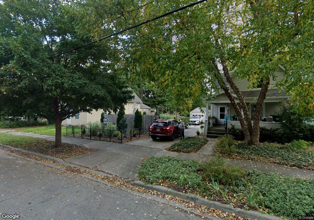
213 W Barnes Ave Lansing, MI 48910
Moores Park NeighborhoodEstimated Value: $95,742 - $174,000
--
Bed
--
Bath
1,859
Sq Ft
$74/Sq Ft
Est. Value
About This Home
This home is located at 213 W Barnes Ave, Lansing, MI 48910 and is currently estimated at $138,436, approximately $74 per square foot. 213 W Barnes Ave is a home located in Ingham County with nearby schools including Averill Elementary School, Pattengill Academy, and J.W. Sexton High School.
Ownership History
Date
Name
Owned For
Owner Type
Purchase Details
Closed on
Feb 19, 2019
Sold by
Ingham Cnty Land Bk Fast Track Authority
Bought by
Joslyn Darrell W
Current Estimated Value
Purchase Details
Closed on
Dec 6, 2017
Sold by
Anthony Sarah and Byrum Barb
Bought by
Ingham County Land Bank Fast Track Autho
Purchase Details
Closed on
Dec 5, 2017
Sold by
Scheertzing Eric
Bought by
The County Of Ingham
Purchase Details
Closed on
May 13, 2002
Sold by
Taxvest Ltd Partnership
Bought by
Bf Partners Llc
Purchase Details
Closed on
Dec 5, 2001
Sold by
Taxvest Ltd Partnership
Bought by
Kujawa Thomas
Create a Home Valuation Report for This Property
The Home Valuation Report is an in-depth analysis detailing your home's value as well as a comparison with similar homes in the area
Home Values in the Area
Average Home Value in this Area
Purchase History
| Date | Buyer | Sale Price | Title Company |
|---|---|---|---|
| Joslyn Darrell W | -- | Capital Fund Title Services | |
| Ingham County Land Bank Fast Track Autho | -- | None Available | |
| The County Of Ingham | -- | None Available | |
| Bf Partners Llc | -- | -- | |
| Kujawa Thomas | $2,935 | -- |
Source: Public Records
Tax History Compared to Growth
Tax History
| Year | Tax Paid | Tax Assessment Tax Assessment Total Assessment is a certain percentage of the fair market value that is determined by local assessors to be the total taxable value of land and additions on the property. | Land | Improvement |
|---|---|---|---|---|
| 2025 | $323 | $4,000 | $4,000 | $0 |
| 2024 | $3 | $4,000 | $4,000 | $0 |
| 2023 | $319 | $4,000 | $4,000 | $0 |
| 2022 | $343 | $5,700 | $5,700 | $0 |
| 2021 | $335 | $4,600 | $4,600 | $0 |
| 2020 | $333 | $4,300 | $4,300 | $0 |
| 2019 | $3,775 | $0 | $0 | $0 |
| 2018 | $1,667 | $43,700 | $4,300 | $39,400 |
| 2017 | $5,073 | $43,700 | $4,300 | $39,400 |
| 2016 | $10,174 | $42,900 | $4,300 | $38,600 |
| 2015 | $10,174 | $40,900 | $8,534 | $32,366 |
| 2014 | $10,174 | $41,400 | $4,978 | $36,422 |
Source: Public Records
Map
Nearby Homes
- 139 Woodlawn Ave
- 202 Woodlawn Ave
- 1722 S Washington Ave
- 1408 Reo Ave
- 1406 Reo Ave
- 147 Isbell St
- 1723 Osband Ave
- 511 W Mount Hope Ave
- 1800 Herbert St
- 1927 Teel Ave
- 1836 Osband Ave
- 1731 Herbert St
- 2011 Osband Ave
- 2107 Teel Ave
- 1818 Ray St
- 525 E Mount Hope Ave
- 712 Lenore Ave
- 506 Christiancy St
- 515 Jason Ct
- 531 Torrence Ct
- 211 W Barnes Ave
- 215 W Barnes Ave
- 207 W Barnes Ave
- 221 W Barnes Ave
- 205 W Barnes Ave
- 223 W Barnes Ave
- 201 W Barnes Ave
- 1713 Todd Ave
- 1716 Coleman Ave
- 225 W Barnes Ave
- 1717 Todd Ave
- 210 Smith Ave
- 214 Smith Ave
- 1720 Coleman Ave
- 1720 Coleman Ave Unit 1722
- 1721 Todd Ave
- 208 Smith Ave
- 1713 Coleman Ave
- 202 W Barnes Ave
- 200 Smith Ave