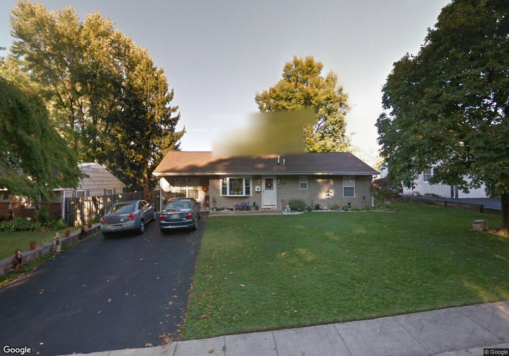
213 Waltham Rd Fairless Hills, PA 19030
Estimated Value: $422,000 - $439,000
--
Bed
1
Bath
1,636
Sq Ft
$264/Sq Ft
Est. Value
About This Home
This home is located at 213 Waltham Rd, Fairless Hills, PA 19030 and is currently estimated at $432,312, approximately $264 per square foot. 213 Waltham Rd is a home located in Bucks County with nearby schools including Oxford Valley Elementary School, William Penn Middle School, and Pennsbury High School.
Ownership History
Date
Name
Owned For
Owner Type
Purchase Details
Closed on
Aug 30, 2004
Sold by
Murphy Richard A and Murphy Barbara J
Bought by
Wray Lynnette R and Cooke Tiffiny L
Current Estimated Value
Home Financials for this Owner
Home Financials are based on the most recent Mortgage that was taken out on this home.
Original Mortgage
$130,000
Outstanding Balance
$65,006
Interest Rate
6.02%
Mortgage Type
Purchase Money Mortgage
Estimated Equity
$367,306
Purchase Details
Closed on
Mar 27, 1990
Bought by
Murphy Richard A
Create a Home Valuation Report for This Property
The Home Valuation Report is an in-depth analysis detailing your home's value as well as a comparison with similar homes in the area
Home Values in the Area
Average Home Value in this Area
Purchase History
| Date | Buyer | Sale Price | Title Company |
|---|---|---|---|
| Wray Lynnette R | $272,000 | -- | |
| Murphy Richard A | $108,900 | -- |
Source: Public Records
Mortgage History
| Date | Status | Borrower | Loan Amount |
|---|---|---|---|
| Open | Wray Lynnette R | $130,000 | |
| Closed | Wray Lynnette R | $124,000 |
Source: Public Records
Tax History Compared to Growth
Tax History
| Year | Tax Paid | Tax Assessment Tax Assessment Total Assessment is a certain percentage of the fair market value that is determined by local assessors to be the total taxable value of land and additions on the property. | Land | Improvement |
|---|---|---|---|---|
| 2025 | $4,757 | $21,360 | $5,120 | $16,240 |
| 2024 | $4,757 | $21,360 | $5,120 | $16,240 |
| 2023 | $4,558 | $21,360 | $5,120 | $16,240 |
| 2022 | $4,416 | $21,360 | $5,120 | $16,240 |
| 2021 | $4,331 | $21,360 | $5,120 | $16,240 |
| 2020 | $4,331 | $21,360 | $5,120 | $16,240 |
| 2019 | $4,255 | $21,360 | $5,120 | $16,240 |
| 2018 | $4,202 | $21,360 | $5,120 | $16,240 |
| 2017 | $4,096 | $21,360 | $5,120 | $16,240 |
| 2016 | $4,096 | $21,360 | $5,120 | $16,240 |
| 2015 | $3,694 | $21,360 | $5,120 | $16,240 |
| 2014 | $3,694 | $21,360 | $5,120 | $16,240 |
Source: Public Records
Map
Nearby Homes
- 208 Suffolk Rd
- 402 Stanford Rd
- 20 Trellis Rd
- 59 Liberty Dr
- 61 Liberty Dr
- 180 Andover Rd Unit A
- 248 N Oxford Valley Rd
- 10 Thistle Rd
- 212 Apple St
- 125 Nursery Ave
- 134 Lincoln Hwy Unit 11
- 01 Kyle Ln
- 0000000 Kyle Ln
- 0 Kyle Ln Unit PABU2095588
- 000000 Kyle Ln
- 0000 Kyle Ln
- 000 Kyle Ln
- 657 S Queen Anne Dr
- 53 Crestwood Rd
- 78 Harmony Rd
- 211 Waltham Rd
- 215 Waltham Rd
- 208 Tewksbury Rd
- 209 Waltham Rd
- 217 Waltham Rd
- 206 Tewksbury Rd
- 210 Tewksbury Rd
- 212 Waltham Rd
- 214 Waltham Rd Unit H1
- 210 Waltham Rd
- 204 Tewksbury Rd
- 207 Waltham Rd
- 216 Waltham Rd
- 219 Waltham Rd
- 212 Tewksbury Rd
- 208 Waltham Rd
- 218 Waltham Rd
- 202 Tewksbury Rd
- 205 Waltham Rd
- 206 Waltham Rd