213 Weatherstone Dr Worcester, MA 01604
Broadmeadow Brook NeighborhoodEstimated Value: $417,000 - $433,000
3
Beds
2
Baths
1,600
Sq Ft
$268/Sq Ft
Est. Value
About This Home
This home is located at 213 Weatherstone Dr, Worcester, MA 01604 and is currently estimated at $428,062, approximately $267 per square foot. 213 Weatherstone Dr is a home located in Worcester County with nearby schools including Jacob Hiatt Magnet School, Chandler Magnet, and Rice Square Elementary School.
Ownership History
Date
Name
Owned For
Owner Type
Purchase Details
Closed on
Jul 31, 2015
Sold by
Dovale Alicia A and Dovale Jerry P
Bought by
Odgren Ruth
Current Estimated Value
Home Financials for this Owner
Home Financials are based on the most recent Mortgage that was taken out on this home.
Original Mortgage
$110,000
Outstanding Balance
$86,338
Interest Rate
3.97%
Mortgage Type
New Conventional
Estimated Equity
$341,724
Purchase Details
Closed on
Jun 13, 2005
Sold by
Buss James F
Bought by
Centro Alicia A
Home Financials for this Owner
Home Financials are based on the most recent Mortgage that was taken out on this home.
Original Mortgage
$225,600
Interest Rate
5.79%
Mortgage Type
Purchase Money Mortgage
Purchase Details
Closed on
Aug 20, 2001
Sold by
Marois Normand R
Bought by
Buss James F
Create a Home Valuation Report for This Property
The Home Valuation Report is an in-depth analysis detailing your home's value as well as a comparison with similar homes in the area
Home Values in the Area
Average Home Value in this Area
Purchase History
| Date | Buyer | Sale Price | Title Company |
|---|---|---|---|
| Odgren Ruth | $227,750 | -- | |
| Centro Alicia A | $282,000 | -- | |
| Centro Alicia A | $282,000 | -- | |
| Buss James F | $182,500 | -- | |
| Buss James F | $182,500 | -- |
Source: Public Records
Mortgage History
| Date | Status | Borrower | Loan Amount |
|---|---|---|---|
| Open | Odgren Ruth | $110,000 | |
| Closed | Buss James F | $110,000 | |
| Previous Owner | Buss James F | $228,500 | |
| Previous Owner | Centro Alicia A | $225,600 |
Source: Public Records
Tax History Compared to Growth
Tax History
| Year | Tax Paid | Tax Assessment Tax Assessment Total Assessment is a certain percentage of the fair market value that is determined by local assessors to be the total taxable value of land and additions on the property. | Land | Improvement |
|---|---|---|---|---|
| 2025 | $4,399 | $333,500 | $0 | $333,500 |
| 2024 | $4,422 | $321,600 | $0 | $321,600 |
| 2023 | $3,988 | $278,100 | $0 | $278,100 |
| 2022 | $3,638 | $239,200 | $0 | $239,200 |
| 2021 | $3,972 | $244,000 | $0 | $244,000 |
| 2020 | $3,857 | $226,900 | $0 | $226,900 |
| 2019 | $3,987 | $221,500 | $0 | $221,500 |
| 2018 | $3,820 | $202,000 | $0 | $202,000 |
| 2017 | $3,790 | $197,200 | $0 | $197,200 |
| 2016 | $3,852 | $186,900 | $0 | $186,900 |
| 2015 | $3,787 | $188,700 | $0 | $188,700 |
| 2014 | $3,654 | $187,000 | $0 | $187,000 |
Source: Public Records
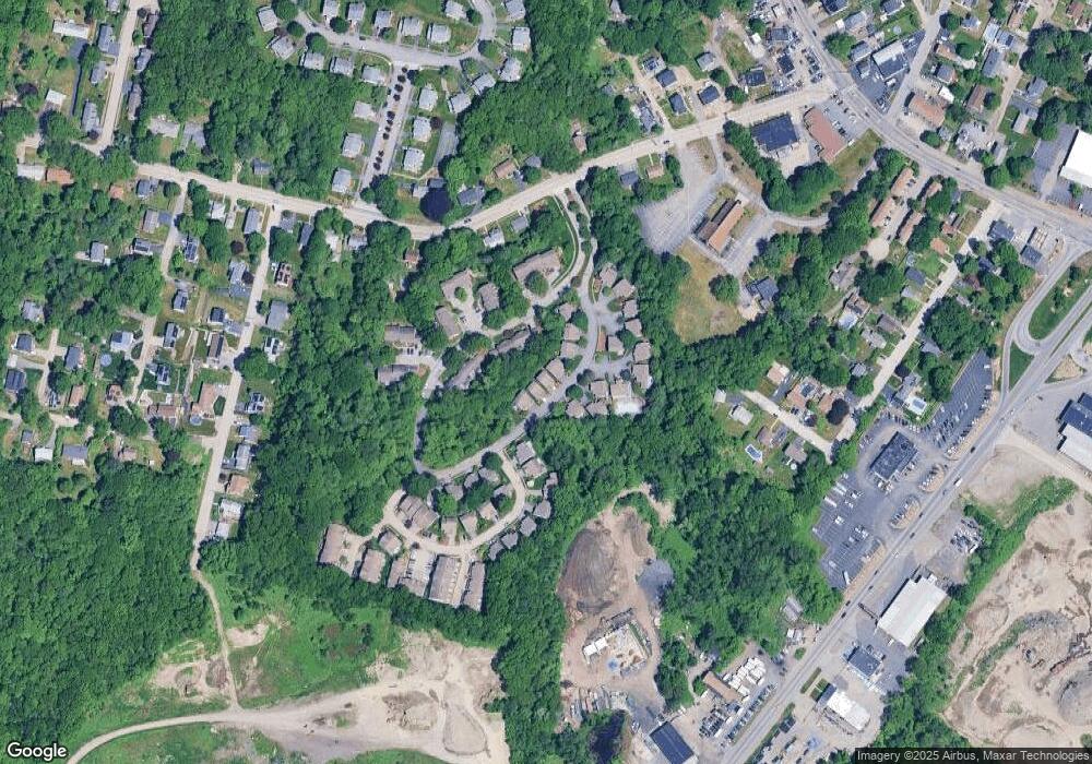
Map
Nearby Homes
- 232 Weatherstone Dr
- 11 Margin St
- 1203 Grafton St Unit 38
- 3 Stidsen Way
- 1195 Grafton St Unit 3
- 1201 Grafton St Unit 73
- 1199 Grafton St Unit 93
- 31 Crane St
- 27 A-B Grafton St
- 330 Sunderland Rd Unit 78
- 330 Sunderland Rd Unit 87
- 340 Sunderland Rd Unit 23
- 7 Atlas St
- 270 Sunderland Rd Unit 37
- 270 Sunderland Rd Unit 77
- 270 Sunderland Rd Unit 67
- 11 Maplewood Rd
- 330 Millbury Ave
- 12 Irene Ct
- 11 Westview Ave
- 14 Weatherstone Dr
- 244 Weatherstone Dr
- 243 Weatherstone Dr
- 242 Weatherstone Dr
- 241 Weatherstone Dr
- 234 Weatherstone Dr
- 233 Weatherstone Dr
- 231 Weatherstone Dr
- 223 Weatherstone Dr
- 222 Weatherstone Dr
- 221 Weatherstone Dr
- 214 Weatherstone Dr
- 212 Weatherstone Dr
- 211 Weatherstone Dr
- 206 Weatherstone Dr
- 204 Weatherstone Dr
- 203 Weatherstone Dr
- 202 Weatherstone Dr
- 201 Weatherstone Dr
- 194 Weatherstone Dr