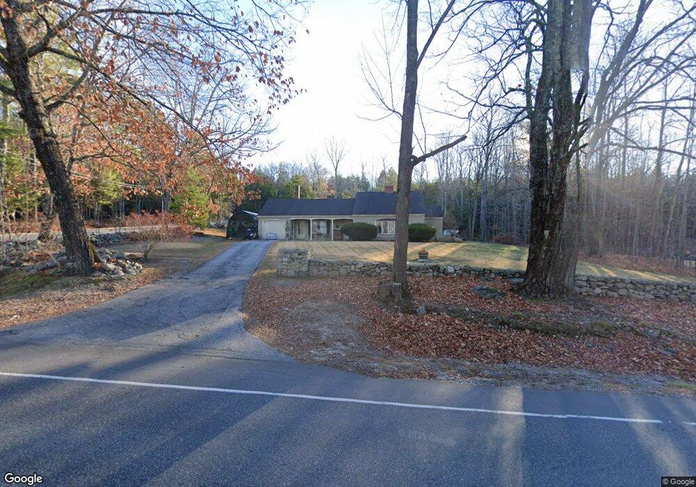
213 Webbs Mills Rd Raymond, ME 04071
Estimated Value: $359,822 - $474,000
2
Beds
2
Baths
1,328
Sq Ft
$313/Sq Ft
Est. Value
About This Home
This home is located at 213 Webbs Mills Rd, Raymond, ME 04071 and is currently estimated at $415,706, approximately $313 per square foot. 213 Webbs Mills Rd is a home located in Cumberland County with nearby schools including Raymond Elementary School, Jordan-Small Middle School, and Windham High School.
Ownership History
Date
Name
Owned For
Owner Type
Purchase Details
Closed on
Jul 11, 2017
Sold by
Reverse Mortgage Sols
Bought by
Calshy Llc
Current Estimated Value
Purchase Details
Closed on
Jan 8, 2014
Sold by
Stevens Leslie E
Bought by
Glew Kerry E
Home Financials for this Owner
Home Financials are based on the most recent Mortgage that was taken out on this home.
Original Mortgage
$267,000
Interest Rate
2%
Mortgage Type
Reverse Mortgage Home Equity Conversion Mortgage
Create a Home Valuation Report for This Property
The Home Valuation Report is an in-depth analysis detailing your home's value as well as a comparison with similar homes in the area
Home Values in the Area
Average Home Value in this Area
Purchase History
| Date | Buyer | Sale Price | Title Company |
|---|---|---|---|
| Calshy Llc | $123,567 | -- | |
| Glew Kerry E | -- | -- |
Source: Public Records
Mortgage History
| Date | Status | Borrower | Loan Amount |
|---|---|---|---|
| Previous Owner | Glew Kerry E | $267,000 |
Source: Public Records
Tax History Compared to Growth
Tax History
| Year | Tax Paid | Tax Assessment Tax Assessment Total Assessment is a certain percentage of the fair market value that is determined by local assessors to be the total taxable value of land and additions on the property. | Land | Improvement |
|---|---|---|---|---|
| 2024 | $2,864 | $166,500 | $34,800 | $131,700 |
| 2023 | $2,647 | $166,500 | $34,800 | $131,700 |
| 2022 | $2,498 | $166,500 | $34,800 | $131,700 |
| 2021 | $2,348 | $166,500 | $34,800 | $131,700 |
| 2019 | $1,439 | $166,500 | $34,800 | $131,700 |
| 2018 | $3,745 | $166,500 | $34,800 | $131,700 |
| 2017 | $2,048 | $166,500 | $34,800 | $131,700 |
| 2016 | $2,015 | $166,500 | $34,800 | $131,700 |
| 2015 | $1,990 | $166,500 | $34,800 | $131,700 |
| 2014 | $1,965 | $166,500 | $34,800 | $131,700 |
| 2013 | $1,873 | $166,500 | $34,800 | $131,700 |
Source: Public Records
Map
Nearby Homes
- 7 Gore Rd
- 12 Presidential View
- 0 Heidi Way
- 2 Gore Rd
- 2 Flynn Rd
- 7 Salmon Run
- 105 Meadow Rd
- 6 Williams Ln
- M011-006 Westwood Rd
- 11-007 Westwood Rd
- 157 Egypt Rd
- 21 Westwood Rd
- 15 Worcester Dr
- 486 Webbs Mills Rd
- 16 Peterson Rd
- 34 Stoney Brook Rd
- 24 Hillside Dr
- 18 Hillside Dr
- 1 Pine Ln
- 20 Bittersweet Way
- 0 Gore Rd
- 0 Whitney Way Unit 786530
- 0 Whitney Way Unit 786490
- 0 Whitney Way Unit 763415
- 0 Whitney Way Unit 994378
- 00 Whitney Way
- 8 Gore Rd
- 4 Whitney Way
- 207 Webbs Mills Rd
- 214 Webbs Mills Rd
- 33 Whitney Way
- 218 Webbs Mills Rd
- 208 Webbs Mills Rd
- 8 Whitney Way
- 9 Gore Rd
- 227 Webbs Mills Rd
- 11 Gore Rd
- 201 Webbs Mills Rd
- 7 Whitney Way
- 7B Whitney Way