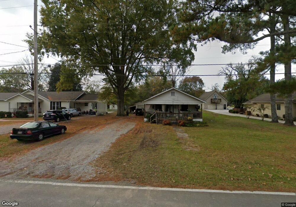
213 Wilder Rd Chickamauga, GA 30707
Estimated Value: $88,000 - $198,000
--
Bed
2
Baths
1,120
Sq Ft
$139/Sq Ft
Est. Value
About This Home
This home is located at 213 Wilder Rd, Chickamauga, GA 30707 and is currently estimated at $155,738, approximately $139 per square foot. 213 Wilder Rd is a home located in Walker County with nearby schools including Cherokee Ridge Elementary School, Rossville Middle School, and Ridgeland High School.
Ownership History
Date
Name
Owned For
Owner Type
Purchase Details
Closed on
Aug 18, 2015
Sold by
Roberts Danny L
Bought by
Roberts Danny
Current Estimated Value
Home Financials for this Owner
Home Financials are based on the most recent Mortgage that was taken out on this home.
Original Mortgage
$40,000
Interest Rate
4.09%
Mortgage Type
New Conventional
Purchase Details
Closed on
Aug 20, 2002
Sold by
Bailes Claude
Bought by
Roberts Danny L and Roberts Lisa J
Purchase Details
Closed on
Jul 24, 1986
Sold by
Mosteller W V
Bought by
Bailes Claude
Purchase Details
Closed on
Jan 1, 1972
Bought by
Mosteller W V
Create a Home Valuation Report for This Property
The Home Valuation Report is an in-depth analysis detailing your home's value as well as a comparison with similar homes in the area
Home Values in the Area
Average Home Value in this Area
Purchase History
| Date | Buyer | Sale Price | Title Company |
|---|---|---|---|
| Roberts Danny | -- | -- | |
| Roberts Danny L | $64,200 | -- | |
| Bailes Claude | $10,000 | -- | |
| Mosteller W V | -- | -- |
Source: Public Records
Mortgage History
| Date | Status | Borrower | Loan Amount |
|---|---|---|---|
| Closed | Roberts Danny | $40,000 |
Source: Public Records
Tax History Compared to Growth
Tax History
| Year | Tax Paid | Tax Assessment Tax Assessment Total Assessment is a certain percentage of the fair market value that is determined by local assessors to be the total taxable value of land and additions on the property. | Land | Improvement |
|---|---|---|---|---|
| 2024 | $1,059 | $44,418 | $9,360 | $35,058 |
| 2023 | $1,039 | $42,578 | $9,360 | $33,218 |
| 2022 | $862 | $32,301 | $3,744 | $28,557 |
| 2021 | $688 | $22,410 | $3,744 | $18,666 |
| 2020 | $658 | $20,466 | $3,744 | $16,722 |
| 2019 | $669 | $20,466 | $3,744 | $16,722 |
| 2018 | $542 | $20,466 | $3,744 | $16,722 |
| 2017 | $537 | $20,466 | $3,744 | $16,722 |
| 2016 | $635 | $20,653 | $3,931 | $16,722 |
| 2015 | $570 | $16,910 | $4,032 | $12,878 |
| 2014 | $492 | $16,910 | $4,032 | $12,878 |
| 2013 | $542 | $16,909 | $4,032 | $12,877 |
Source: Public Records
Map
Nearby Homes
- 234 Wilder Rd
- Southport Plan at Cambridge Cove
- Aria Plan at Cambridge Cove
- Bayshore Plan at Cambridge Cove
- 100 Arlington Dr
- 94 Arlington Dr
- 84 Arlington Dr
- 80 Arlington Dr
- 309 Longwood St
- 801 Thomas Ave
- 138 Dana Ln
- 8 W 8th St
- 130 Krystal Dr
- 910 Crittenden Ave
- 661 Jill Ln
- 0 Pearl Ave Unit 1523358
- 107 Wilder Ave
- 74 Cove Rd
- 80 Cove Rd
- 305 Gordon St
- 211 Wilder Rd
- 215 Wilder Rd
- 223 Wilder Rd
- 214 Wilder Rd
- 212 Wilder Rd
- 219 Wilder Rd
- 12 Heritage Dr
- 0 Heritage Dr Unit 1115942
- 0 Heritage Dr Unit 1052045
- 0 Heritage Dr Unit 1052047
- 0 Heritage Dr Unit 1051739
- 0 Heritage Dr Unit 1050048
- 0 Heritage Dr Unit 1105503
- 0 Heritage Dr Unit 1103095
- 0 Heritage Dr Unit 1049110
- 0 Heritage Dr Unit 1049486
- 0 Heritage Dr Unit 1049055
- 0 Heritage Dr Unit 1075491
- 210 Wilder Rd
- 221 Wilder Rd