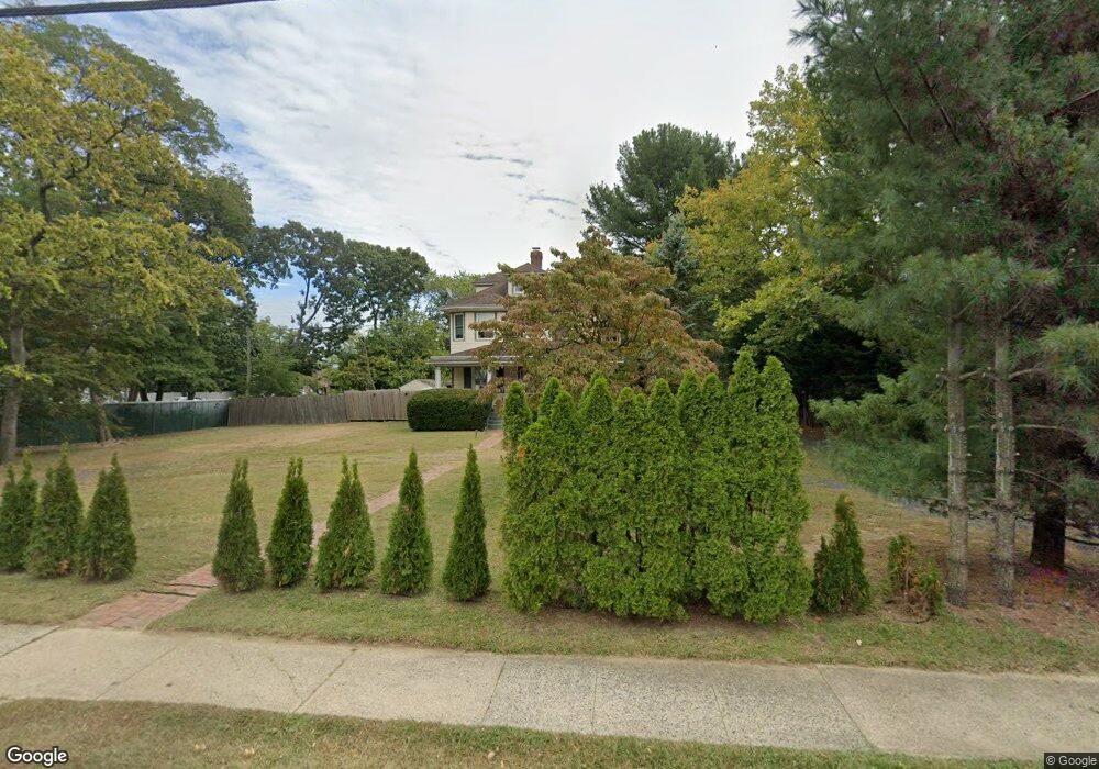
213 Wilson Ave Port Monmouth, NJ 07758
New Monmouth NeighborhoodEstimated Value: $596,000 - $673,000
4
Beds
2
Baths
1,921
Sq Ft
$332/Sq Ft
Est. Value
About This Home
This home is located at 213 Wilson Ave, Port Monmouth, NJ 07758 and is currently estimated at $637,326, approximately $331 per square foot. 213 Wilson Ave is a home located in Monmouth County with nearby schools including New Monmouth Elementary School, Thorne Middle School, and Middletown High School North.
Ownership History
Date
Name
Owned For
Owner Type
Purchase Details
Closed on
Jun 6, 2002
Sold by
Helm Robert
Bought by
Barone Robert and Barone Andrea
Current Estimated Value
Home Financials for this Owner
Home Financials are based on the most recent Mortgage that was taken out on this home.
Original Mortgage
$200,000
Interest Rate
6.61%
Create a Home Valuation Report for This Property
The Home Valuation Report is an in-depth analysis detailing your home's value as well as a comparison with similar homes in the area
Home Values in the Area
Average Home Value in this Area
Purchase History
| Date | Buyer | Sale Price | Title Company |
|---|---|---|---|
| Barone Robert | $285,000 | -- |
Source: Public Records
Mortgage History
| Date | Status | Borrower | Loan Amount |
|---|---|---|---|
| Previous Owner | Barone Robert | $200,000 |
Source: Public Records
Tax History Compared to Growth
Tax History
| Year | Tax Paid | Tax Assessment Tax Assessment Total Assessment is a certain percentage of the fair market value that is determined by local assessors to be the total taxable value of land and additions on the property. | Land | Improvement |
|---|---|---|---|---|
| 2025 | $9,087 | $574,800 | $294,400 | $280,400 |
| 2024 | $8,329 | $552,400 | $277,100 | $275,300 |
| 2023 | $8,329 | $479,200 | $277,100 | $202,100 |
| 2022 | $7,420 | $405,600 | $213,200 | $192,400 |
| 2021 | $7,420 | $357,400 | $186,200 | $171,200 |
| 2020 | $7,558 | $353,500 | $186,200 | $167,300 |
| 2019 | $7,445 | $352,500 | $186,200 | $166,300 |
| 2018 | $7,472 | $344,800 | $186,200 | $158,600 |
| 2017 | $7,440 | $339,900 | $186,200 | $153,700 |
| 2016 | $7,795 | $365,800 | $186,200 | $179,600 |
| 2015 | $8,062 | $365,300 | $186,200 | $179,100 |
| 2014 | $7,918 | $349,900 | $186,200 | $163,700 |
Source: Public Records
Map
Nearby Homes
- 9 Brentwood Terrace
- 230 Main St
- 251 Main St Unit AH
- 35 Willow St
- 617 Carter Ave
- 39 Bayberry Ln
- 19 Walada Ave
- 22 Mills Ave
- 309 Church St
- 35 Montana Ave
- 635 Hudson Ave
- 22 Mercer Ave
- 17 Lakeland Dr
- 143 Tindall Rd
- 147 Church St
- 75 Ohio Ave
- 79 Compton St Unit A & B
- 118 Jersey Ave
- 135 Railroad Ave
- 28 Duchess Ave
- 263 Wilson Ave
- 251 Wilson Ave
- 269 Wilson Ave
- 245 Wilson Ave
- 257 Wilson Ave
- 1 Thorne Place
- 7 Mercury St
- 9 Mercury St
- 5 Mercury St
- 3 Thorne Place
- 2 Aberdeen Terrace
- 11 Mercury St
- 2 Thorne Place
- 242 Wilson Ave
- 3 Mercury St
- 4 Aberdeen Terrace
- 4 Thorne Place
- 4 Thorne Place
- 5 Thorne Place
- 3 Chapman Terrace