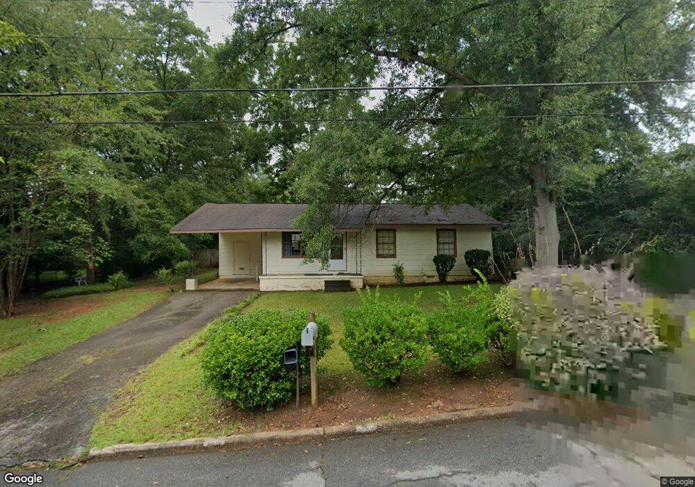
213 Wright St Lagrange, GA 30241
Estimated Value: $91,000 - $127,000
3
Beds
1
Bath
936
Sq Ft
$114/Sq Ft
Est. Value
About This Home
This home is located at 213 Wright St, Lagrange, GA 30241 and is currently estimated at $106,368, approximately $113 per square foot. 213 Wright St is a home located in Troup County with nearby schools including Callaway Elementary School, Hogansville Elementary School, and Callaway Middle School.
Ownership History
Date
Name
Owned For
Owner Type
Purchase Details
Closed on
Mar 9, 2015
Sold by
Evans Jerry E
Bought by
Caswell Misty Lynn and Caswell Justin
Current Estimated Value
Home Financials for this Owner
Home Financials are based on the most recent Mortgage that was taken out on this home.
Original Mortgage
$21,520
Interest Rate
3.69%
Mortgage Type
New Conventional
Purchase Details
Closed on
Mar 25, 1978
Sold by
Marshall Evans
Bought by
Evans Jerry E
Create a Home Valuation Report for This Property
The Home Valuation Report is an in-depth analysis detailing your home's value as well as a comparison with similar homes in the area
Purchase History
| Date | Buyer | Sale Price | Title Company |
|---|---|---|---|
| Caswell Misty Lynn | $26,900 | -- | |
| Evans Jerry E | -- | -- |
Source: Public Records
Mortgage History
| Date | Status | Borrower | Loan Amount |
|---|---|---|---|
| Closed | Caswell Misty Lynn | $21,520 |
Source: Public Records
Tax History
| Year | Tax Paid | Tax Assessment Tax Assessment Total Assessment is a certain percentage of the fair market value that is determined by local assessors to be the total taxable value of land and additions on the property. | Land | Improvement |
|---|---|---|---|---|
| 2025 | $651 | $23,880 | $4,440 | $19,440 |
| 2024 | $600 | $22,000 | $4,440 | $17,560 |
| 2023 | $624 | $22,880 | $4,440 | $18,440 |
| 2022 | $612 | $21,920 | $4,440 | $17,480 |
| 2021 | $537 | $17,800 | $2,680 | $15,120 |
| 2020 | $537 | $17,800 | $2,680 | $15,120 |
| 2019 | $495 | $16,400 | $2,680 | $13,720 |
| 2018 | $471 | $15,628 | $2,748 | $12,880 |
| 2017 | $471 | $15,628 | $2,748 | $12,880 |
| 2016 | $325 | $10,760 | $1,944 | $8,816 |
| 2015 | $460 | $15,211 | $2,748 | $12,463 |
| 2014 | $440 | $14,555 | $2,748 | $11,807 |
| 2013 | -- | $15,417 | $2,748 | $12,669 |
Source: Public Records
Map
Nearby Homes
- 303 E Mulberry St
- 203 Fannin St
- 0 E Fendig St
- 113 E Fendig St
- 109 Bell St
- 901 Whiteline St
- 501 Milam St
- 200 Mccall St
- 103 Cedar St
- 0 Boggs St Unit 10550243
- 0 Boggs St Unit 10550231
- 0 Boggs St Unit 10550239
- 0 Boggs St Unit 10550250
- 112 Cedar St
- 0 Brown St Unit 10550761
- 0 Brown St Unit 10550754
- 0 Bagley St
- 304 Butler St
- 105 Dix St
- 626 Smoot St
- 209 Wright St
- 222 E Cannon St
- 216 E Cannon St
- 210 Wright St
- 207 Wright St
- 214 E Cannon St
- 208 Wright St
- 206 Wright St
- 205 Wright St
- 212 E Cannon St
- 204 Wright St
- 702 1/2 Hamilton Rd
- 203 Wright St
- 217 E Crovat St
- 217 E Crovat St
- 704 Hamilton Rd
- 219 E Crovat St
- 213 E Crovat St
- 202 Wright St
- 204 E Cannon St
Your Personal Tour Guide
Ask me questions while you tour the home.