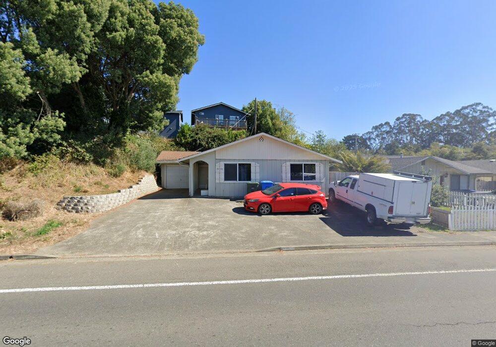
2130 Alliance Rd Arcata, CA 95521
Sunset NeighborhoodEstimated Value: $299,423 - $633,000
3
Beds
2
Baths
1,200
Sq Ft
$363/Sq Ft
Est. Value
About This Home
This home is located at 2130 Alliance Rd, Arcata, CA 95521 and is currently estimated at $435,606, approximately $363 per square foot. 2130 Alliance Rd is a home located in Humboldt County with nearby schools including Arcata Elementary School, Sunny Brae Middle School, and Arcata High School.
Ownership History
Date
Name
Owned For
Owner Type
Purchase Details
Closed on
Apr 9, 1999
Sold by
Hyland John and Hyland Janet
Bought by
Hyland Patrick
Current Estimated Value
Home Financials for this Owner
Home Financials are based on the most recent Mortgage that was taken out on this home.
Original Mortgage
$57,500
Outstanding Balance
$14,633
Interest Rate
7.1%
Estimated Equity
$420,973
Create a Home Valuation Report for This Property
The Home Valuation Report is an in-depth analysis detailing your home's value as well as a comparison with similar homes in the area
Home Values in the Area
Average Home Value in this Area
Purchase History
| Date | Buyer | Sale Price | Title Company |
|---|---|---|---|
| Hyland Patrick | $53,500 | Humboldt Land Title Co |
Source: Public Records
Mortgage History
| Date | Status | Borrower | Loan Amount |
|---|---|---|---|
| Open | Hyland Patrick | $57,500 |
Source: Public Records
Tax History
| Year | Tax Paid | Tax Assessment Tax Assessment Total Assessment is a certain percentage of the fair market value that is determined by local assessors to be the total taxable value of land and additions on the property. | Land | Improvement |
|---|---|---|---|---|
| 2025 | $1,688 | $128,638 | $65,132 | $63,506 |
| 2024 | $1,688 | $126,116 | $63,855 | $62,261 |
| 2023 | $1,658 | $123,644 | $62,603 | $61,041 |
| 2022 | $1,683 | $121,221 | $61,376 | $59,845 |
| 2021 | $1,613 | $118,845 | $60,173 | $58,672 |
| 2020 | $1,510 | $117,627 | $59,556 | $58,071 |
| 2019 | $1,465 | $115,322 | $58,389 | $56,933 |
| 2018 | $1,434 | $113,062 | $57,245 | $55,817 |
| 2017 | $1,402 | $110,846 | $56,123 | $54,723 |
| 2016 | $1,347 | $108,673 | $55,023 | $53,650 |
| 2015 | $1,333 | $107,042 | $54,197 | $52,845 |
| 2014 | $1,349 | $104,946 | $53,136 | $51,810 |
Source: Public Records
Map
Nearby Homes
- 2220 Wisteria Way
- 1390 Grant Ave
- 1826 Iverson Ave
- 1785 Westfall Ct
- 1181 Q St
- 1062 N St
- 1290 I St
- 1254 Mccallum Cir
- 380 Granite Ave
- 3028 Alliance Rd
- 3030 Alliance Rd
- 330 California Ave
- 2950 Terrace Ave
- 2102 Haeger Ave
- 3122 St Louis Rd
- 632 9th St
- 3659 Spear Ave
- 113 Sylva St
- 812 Diamond Dr
- 0 E 16th St Unit 271906
- 1540 Foster Ave
- 1550 Foster Ave
- 1538 Foster Ave
- 2141 Western Ave Unit A
- 2124 Wisteria Way
- 2112 Wisteria Way
- 2136 Wisteria Way
- 2175 Western Ave
- 2177 Western Ave
- 2148 Wisteria Way
- 2133 Western Ave
- 2148 Western Ave
- 2185 Western Ave
- 2160 Wisteria Way
- 2130 Western Ave
- 2120 Western Ave
- 2150 Western Ave
- 2100 Western Ave
- 2172 Wisteria Way
- 2127 Wisteria Way
Your Personal Tour Guide
Ask me questions while you tour the home.