2130 Highway 11 W Chesnee, SC 29323
Estimated Value: $178,000 - $458,411
2
Beds
2
Baths
1,344
Sq Ft
$279/Sq Ft
Est. Value
About This Home
This home is located at 2130 Highway 11 W, Chesnee, SC 29323 and is currently estimated at $374,353, approximately $278 per square foot. 2130 Highway 11 W is a home with nearby schools including Chesnee Middle School and Chesnee High School.
Ownership History
Date
Name
Owned For
Owner Type
Purchase Details
Closed on
Jun 27, 2019
Sold by
Lee Darrell G
Bought by
South Carolina Dept Of Transporation
Current Estimated Value
Purchase Details
Closed on
May 24, 2006
Sold by
Lee Darrell G
Bought by
Johnson Annette W
Purchase Details
Closed on
Apr 23, 1999
Sold by
Lee Darrell
Bought by
Petroleum Distrib
Create a Home Valuation Report for This Property
The Home Valuation Report is an in-depth analysis detailing your home's value as well as a comparison with similar homes in the area
Home Values in the Area
Average Home Value in this Area
Purchase History
| Date | Buyer | Sale Price | Title Company |
|---|---|---|---|
| South Carolina Dept Of Transporation | $1,200 | None Available | |
| Johnson Annette W | $10,000 | None Available | |
| Petroleum Distrib | $130,000 | -- |
Source: Public Records
Tax History Compared to Growth
Tax History
| Year | Tax Paid | Tax Assessment Tax Assessment Total Assessment is a certain percentage of the fair market value that is determined by local assessors to be the total taxable value of land and additions on the property. | Land | Improvement |
|---|---|---|---|---|
| 2025 | $922 | $5,451 | $619 | $4,832 |
| 2024 | $922 | $5,451 | $619 | $4,832 |
| 2023 | $922 | $5,451 | $619 | $4,832 |
| 2022 | $837 | $4,748 | $517 | $4,231 |
| 2021 | $837 | $4,748 | $517 | $4,231 |
| 2020 | $820 | $4,748 | $517 | $4,231 |
| 2019 | $820 | $4,748 | $517 | $4,231 |
| 2018 | $801 | $4,748 | $517 | $4,231 |
| 2017 | $715 | $4,138 | $466 | $3,672 |
| 2016 | $715 | $4,138 | $466 | $3,672 |
| 2015 | $710 | $4,138 | $466 | $3,672 |
| 2014 | $705 | $4,138 | $466 | $3,672 |
Source: Public Records
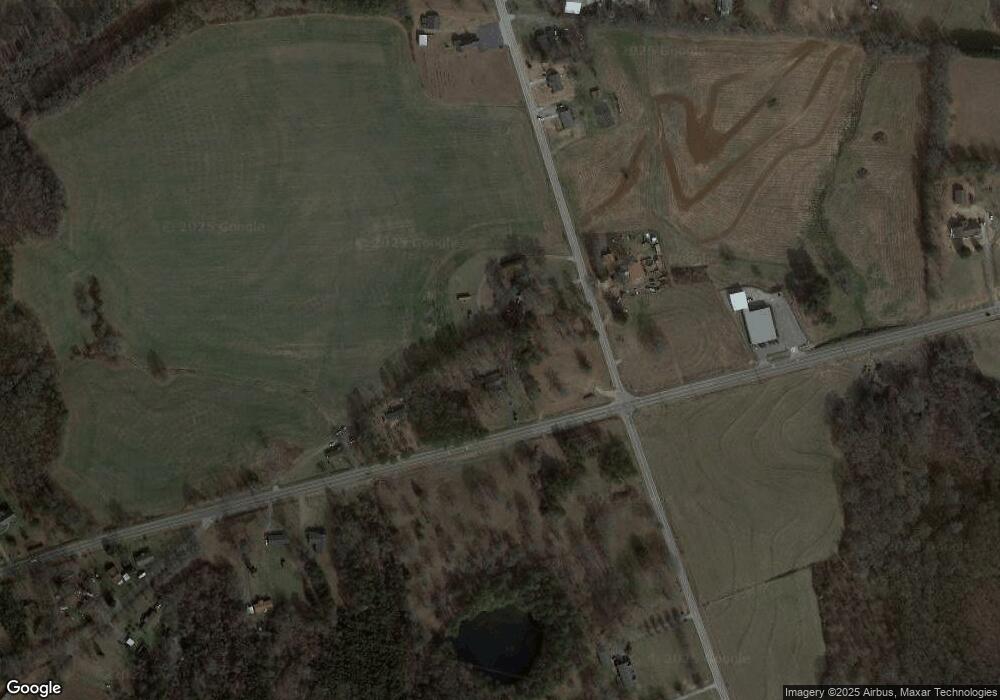
Map
Nearby Homes
- 0 Cantrell Dr
- 202 Arrowood Branch Rd
- 291 Robbins Rd
- 107 Brooklyn Church Rd
- 351 Smith Wall Rd
- 216 Sweetgrass Dr
- 140 Manor House Ln
- 523 State Road S-42-1879
- 537 State Road S-42-1879
- 545 State Road S-42-1879
- 561 State Road S-42-1879
- 565 State Road S-42-1879
- 569 State Road S-42-1879
- 0 State Road S-42-1879
- 1543 Highway 11 W
- 190 Clement Rd
- 550 Harris Rd
- 268 Margate Cir
- 905 Henderson Rd
- 402 Dodger Ave
- 8033 Parris Bridge Rd
- 8032 Parris Bridge Rd
- 2161 Highway 11 W
- 8060 Parris Bridge Rd
- 8068 Parris Bridge Rd
- 7901 Parris Bridge Rd
- 8072 Parris Bridge Rd
- 7893 Parris Bridge Rd
- 2205 Highway 11 W
- 8084 Parris Bridge Rd
- 8084 Parris Bridge Rd
- 137 Cantrell Dr
- 7889 Parris Bridge Rd
- 8104 Parris Bridge Rd
- 8090 Parris Bridge Rd
- 139 Cantrell Dr
- 8094 Parris Bridge Rd
- 8111 Parris Bridge Rd
- 1990 Highway 11 W
- 8112 Parris Bridge Rd