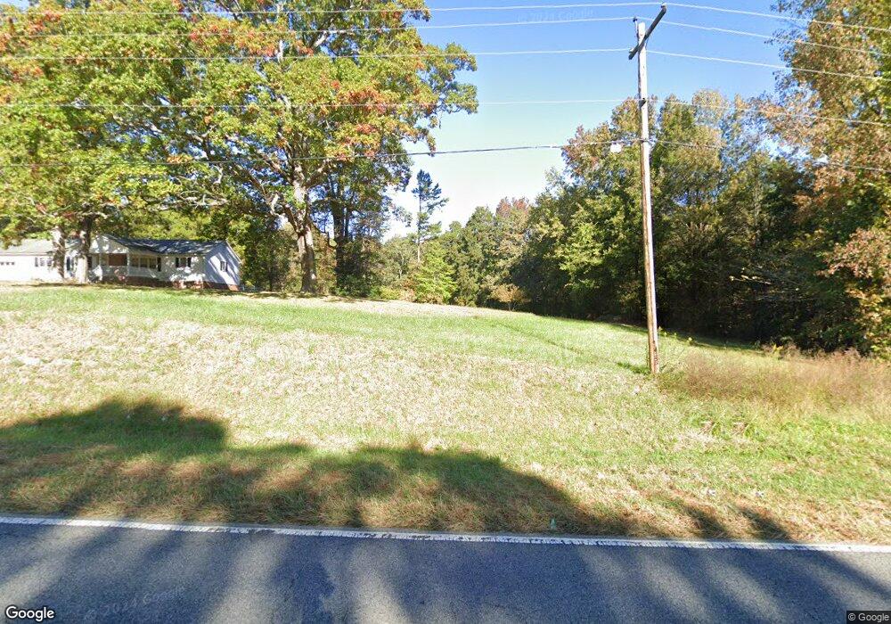
2130 Highway 29 S China Grove, NC 28023
Estimated Value: $342,000 - $598,000
--
Bed
2
Baths
1,455
Sq Ft
$313/Sq Ft
Est. Value
About This Home
This home is located at 2130 Highway 29 S, China Grove, NC 28023 and is currently estimated at $455,625, approximately $313 per square foot. 2130 Highway 29 S is a home located in Rowan County with nearby schools including Landis Elementary School, Corriher Lipe Middle School, and South Rowan High School.
Ownership History
Date
Name
Owned For
Owner Type
Purchase Details
Closed on
Jul 13, 2018
Sold by
B & C Land Holdings Llc
Bought by
Dependable Development Inc
Current Estimated Value
Purchase Details
Closed on
Apr 10, 2013
Sold by
Daugherty Phyllis S
Bought by
Daugherty David A and Christie Andrea D
Purchase Details
Closed on
Feb 12, 2008
Sold by
Daugherty Phyllis S
Bought by
Daugherty Phyllis S
Purchase Details
Closed on
Jan 17, 2008
Sold by
Sechler Betty B
Bought by
Daugherty Phyllis S
Create a Home Valuation Report for This Property
The Home Valuation Report is an in-depth analysis detailing your home's value as well as a comparison with similar homes in the area
Home Values in the Area
Average Home Value in this Area
Purchase History
| Date | Buyer | Sale Price | Title Company |
|---|---|---|---|
| Dependable Development Inc | $450,000 | Independence Title Group Llc | |
| Daugherty David A | -- | None Available | |
| Daugherty Phyllis S | -- | None Available | |
| Daugherty Phyllis S | $50,000 | None Available |
Source: Public Records
Tax History Compared to Growth
Tax History
| Year | Tax Paid | Tax Assessment Tax Assessment Total Assessment is a certain percentage of the fair market value that is determined by local assessors to be the total taxable value of land and additions on the property. | Land | Improvement |
|---|---|---|---|---|
| 2025 | $3,679 | $343,868 | $211,472 | $132,396 |
| 2024 | $3,679 | $343,868 | $211,472 | $132,396 |
| 2023 | $3,679 | $343,868 | $211,472 | $132,396 |
| 2022 | $2,998 | $252,440 | $169,315 | $83,125 |
| 2021 | $2,998 | $252,440 | $169,315 | $83,125 |
| 2020 | $2,998 | $252,440 | $169,315 | $83,125 |
| 2019 | $2,998 | $252,440 | $169,315 | $83,125 |
| 2018 | $2,842 | $241,960 | $169,315 | $72,645 |
| 2017 | $2,723 | $241,960 | $169,315 | $72,645 |
| 2016 | $2,723 | $241,960 | $169,315 | $72,645 |
| 2015 | $2,764 | $241,960 | $169,315 | $72,645 |
| 2014 | $2,081 | $184,153 | $107,890 | $76,263 |
Source: Public Records
Map
Nearby Homes
- 611 Sawtooth Oak Dr
- 829 Georgia Oak Ln
- 925 Bostian Rd
- 833 Georgia Oak Ln
- 500 Landis Oak Way
- 400 Landis Oak Way
- 00 Chapel St
- 0 Phillips St
- 868 Georgia Oak Ln
- 915 N Chapel St
- 321 E Taylor St
- 0 E Taylor St
- 805 E Mills Dr
- 1055 Roberts St Unit 1
- 1065 Roberts St Unit 2
- 1075 Roberts St Unit 3
- 185 Dillon St
- 1160 Roberts St
- 0 N Chapel St
- 220 Hazel St
- 2155 Highway 29 S
- 324 Edgewood Park Ct
- 326 Edgewood Park Ct
- 322 Edgewood Park Ct
- 330 Edgewood Park Ct
- 314 Edgewood Park Ct
- 2125 Highway 29 S
- 323 Edgewood Park Ct
- 327 Edgewood Park Ct
- 319 Edgewood Park Ct
- 331 Edgewood Park Ct
- 230 Daugherty Rd
- 315 Edgewood Park Ct
- 400 Buford Dr
- 334 Buford Dr
- 334 Buford Dr Unit 26
- 0 N Cannon Blvd Unit 887576
- 1004 Sheltie Ln
- 404 Buford Dr
- 00 Hwy 29 Blvd