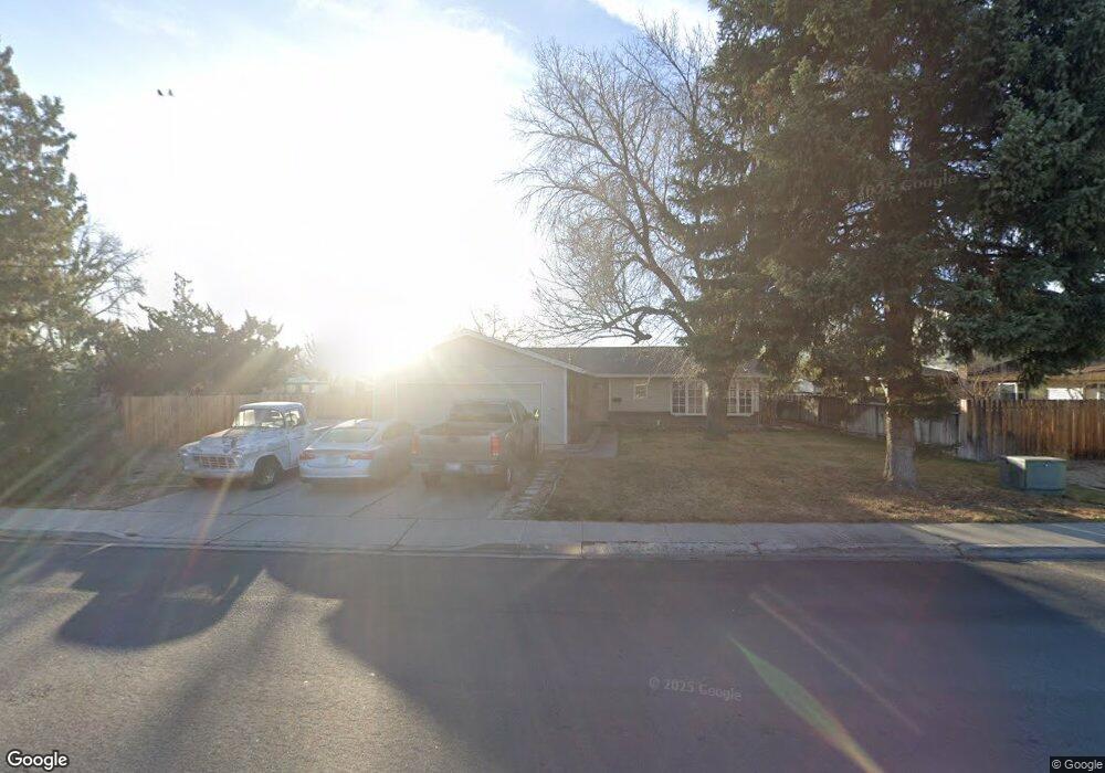
2130 Howard Dr Sparks, NV 89434
O'Callaghan NeighborhoodEstimated Value: $429,000 - $514,000
3
Beds
2
Baths
1,562
Sq Ft
$299/Sq Ft
Est. Value
About This Home
This home is located at 2130 Howard Dr, Sparks, NV 89434 and is currently estimated at $467,186, approximately $299 per square foot. 2130 Howard Dr is a home located in Washoe County with nearby schools including Katherine Dunn Elementary School, George L Dilworth Middle School, and Edward C Reed High School.
Ownership History
Date
Name
Owned For
Owner Type
Purchase Details
Closed on
Aug 22, 1994
Sold by
Newman James A and Newman Susan M
Bought by
Uren Arthur A and Uren Jeri M
Current Estimated Value
Home Financials for this Owner
Home Financials are based on the most recent Mortgage that was taken out on this home.
Original Mortgage
$123,722
Interest Rate
8.73%
Mortgage Type
FHA
Create a Home Valuation Report for This Property
The Home Valuation Report is an in-depth analysis detailing your home's value as well as a comparison with similar homes in the area
Home Values in the Area
Average Home Value in this Area
Purchase History
| Date | Buyer | Sale Price | Title Company |
|---|---|---|---|
| Uren Arthur A | $125,000 | Western Title Company |
Source: Public Records
Mortgage History
| Date | Status | Borrower | Loan Amount |
|---|---|---|---|
| Closed | Uren Arthur A | $123,722 |
Source: Public Records
Tax History
| Year | Tax Paid | Tax Assessment Tax Assessment Total Assessment is a certain percentage of the fair market value that is determined by local assessors to be the total taxable value of land and additions on the property. | Land | Improvement |
|---|---|---|---|---|
| 2026 | $1,506 | $63,562 | $36,960 | $26,602 |
| 2024 | $1,867 | $58,766 | $32,620 | $26,146 |
| 2023 | $1,731 | $55,727 | $31,710 | $24,017 |
| 2022 | $1,603 | $48,204 | $27,475 | $20,729 |
| 2021 | $1,486 | $42,489 | $21,175 | $21,314 |
| 2020 | $1,396 | $42,653 | $20,510 | $22,143 |
| 2019 | $1,328 | $40,926 | $18,865 | $22,061 |
| 2018 | $1,270 | $35,571 | $13,405 | $22,166 |
| 2017 | $1,219 | $35,615 | $12,810 | $22,805 |
| 2016 | $1,193 | $36,128 | $12,355 | $23,773 |
| 2015 | $1,192 | $33,718 | $9,695 | $24,023 |
| 2014 | $1,155 | $32,951 | $8,435 | $24,516 |
| 2013 | -- | $30,646 | $6,055 | $24,591 |
Source: Public Records
Map
Nearby Homes
- 2007 Mesa Vista Dr
- 2207 Howard Dr
- 2183 La Hacienda Dr
- 1954 Rio Tinto Dr
- 2363 William Morby Dr
- 889 Glen Molly Dr
- 913 Glen Molly Dr
- 1074 Glen Martin Dr
- 480 E Mclean Way
- 1236 Flora Glen Dr
- 2557 Janelle Dr
- 370 O'Brien Way
- 1544 Woodhaven Ln
- 91 E York Way
- 909 Mesa Ridge Dr Unit 1
- 3126 N Truckee Ln
- 491 E Emerson Way
- 240 E Gault Way
- 960 Cherry Tree Dr Unit 1
- 3122 Shari Way
- 840 El Cortez Way
- 2150 Howard Dr
- 2073 La Hacienda Dr
- 860 El Cortez Way
- 2083 La Hacienda Dr
- 2105 Howard Dr
- 2155 Howard Dr
- 2170 Howard Dr
- 2093 La Hacienda Dr
- 2065 Howard Dr
- 2209 Glen Vista Dr
- 835 El Cortez Way
- 1993 La Hacienda Dr
- 2200 Howard Dr
- 2094 La Hacienda Dr
- 2074 La Hacienda Dr
- 753 Glen Martin Dr
- 767 Glen Martin Dr
- 2055 Howard Dr
- 2103 La Hacienda Dr
Your Personal Tour Guide
Ask me questions while you tour the home.