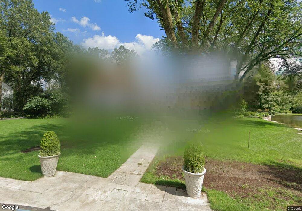
2130 Middlefork Rd Northfield, IL 60093
Estimated Value: $1,523,604 - $2,097,000
5
Beds
5
Baths
3,526
Sq Ft
$535/Sq Ft
Est. Value
About This Home
This home is located at 2130 Middlefork Rd, Northfield, IL 60093 and is currently estimated at $1,885,151, approximately $534 per square foot. 2130 Middlefork Rd is a home located in Cook County with nearby schools including Middlefork Primary School, Sunset Ridge Elementary School, and New Trier Township High School - Northfield.
Ownership History
Date
Name
Owned For
Owner Type
Purchase Details
Closed on
Mar 30, 2021
Sold by
Kulms Thomas O and Kuhns Amy Beth
Bought by
Kuhns Family Land Trust Ii
Current Estimated Value
Purchase Details
Closed on
Mar 29, 2021
Sold by
Kuhns Thomas O and Kuhns Amy Beth
Bought by
Kuhns Thomas O and Kuhns Amy Beth
Create a Home Valuation Report for This Property
The Home Valuation Report is an in-depth analysis detailing your home's value as well as a comparison with similar homes in the area
Home Values in the Area
Average Home Value in this Area
Purchase History
| Date | Buyer | Sale Price | Title Company |
|---|---|---|---|
| Kuhns Family Land Trust Ii | -- | Attorney | |
| Kuhns Thomas O | -- | Attorney |
Source: Public Records
Tax History
| Year | Tax Paid | Tax Assessment Tax Assessment Total Assessment is a certain percentage of the fair market value that is determined by local assessors to be the total taxable value of land and additions on the property. | Land | Improvement |
|---|---|---|---|---|
| 2025 | $25,822 | $147,000 | $69,554 | $77,446 |
| 2024 | $25,822 | $122,946 | $57,962 | $64,984 |
| 2023 | $24,465 | $122,946 | $57,962 | $64,984 |
| 2022 | $24,465 | $122,946 | $57,962 | $64,984 |
| 2021 | $26,353 | $112,003 | $40,573 | $71,430 |
| 2020 | $25,815 | $112,003 | $40,573 | $71,430 |
| 2019 | $25,383 | $123,081 | $40,573 | $82,508 |
| 2018 | $18,235 | $85,164 | $34,777 | $50,387 |
| 2017 | $17,677 | $85,164 | $34,777 | $50,387 |
| 2016 | $18,158 | $91,546 | $34,777 | $56,769 |
| 2015 | $18,345 | $84,339 | $28,981 | $55,358 |
| 2014 | $18,473 | $86,490 | $28,981 | $57,509 |
| 2013 | $17,685 | $86,490 | $28,981 | $57,509 |
Source: Public Records
Map
Nearby Homes
- 2122 Middlefork Rd
- 590 Briar Ln
- 898 Bridlegate Ln
- 1990 Southridge Terrace
- 2154 Northgate Rd
- 1930 Sunset Ridge Rd
- 513 Edens Ln
- 405 Voltz Rd
- 831 Balmoral Ln
- 265 Dickens St
- 2700 Summit Dr Unit 101
- 947 Kensington Dr Unit 7E3
- 164 Wagner Rd
- 220 Sunset Ridge Rd
- 985 Pine Tree Ln
- 308 Happ Rd Unit 201
- 118 Dickens Rd
- 24 Bridlewood Rd
- 2220 Founders Dr Unit 213
- 2220 Founders Dr Unit 107
- 2126 Middlefork Rd
- 2132 Middlefork Rd
- 2129 Middlefork Rd
- 2081 Norfork Rd
- 2124 Middlefork Rd
- 2134 Middlefork Rd
- 2121 Middlefork Rd
- 804 Happ Rd
- 2131 Middlefork Rd
- 2080 Norfork Rd
- 2075 Norfork Rd
- 180 Old Farm Rd
- 806 Happ Rd
- 2117 Middlefork Rd
- 160 Old Farm Rd
- 2083 Norfork Rd
- 2106 Middlefork Rd
- 2120 Middlefork Rd
- 772 Happ Rd
- 800 Happ Rd
Your Personal Tour Guide
Ask me questions while you tour the home.