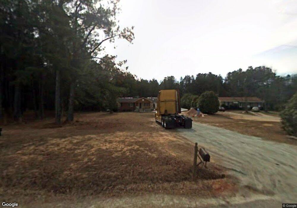
2130 Pear Orchard Rd Greensboro, GA 30642
Estimated Value: $157,410 - $507,000
--
Bed
1
Bath
1,416
Sq Ft
$206/Sq Ft
Est. Value
About This Home
This home is located at 2130 Pear Orchard Rd, Greensboro, GA 30642 and is currently estimated at $291,353, approximately $205 per square foot. 2130 Pear Orchard Rd is a home located in Greene County with nearby schools including Greene County High School.
Ownership History
Date
Name
Owned For
Owner Type
Purchase Details
Closed on
Sep 1, 1999
Sold by
Miller Donald and Miller Leila C
Bought by
Grimsley Dawn M
Current Estimated Value
Purchase Details
Closed on
Mar 9, 1992
Sold by
Farmers Home Adm
Bought by
Miller Donald and Miller Leila C
Purchase Details
Closed on
Nov 13, 1991
Sold by
Goss Rebecca G
Bought by
Farmers Home Adm
Purchase Details
Closed on
Jan 1, 1984
Sold by
Greene Fred and Greene Lucille
Bought by
Goss Rebecca G
Purchase Details
Closed on
Jan 1, 1972
Sold by
Wilson Associates Inc
Bought by
Greene Fred and Greene Lucille
Purchase Details
Closed on
Jan 1, 1971
Bought by
Wilson Associates Inc
Create a Home Valuation Report for This Property
The Home Valuation Report is an in-depth analysis detailing your home's value as well as a comparison with similar homes in the area
Home Values in the Area
Average Home Value in this Area
Purchase History
| Date | Buyer | Sale Price | Title Company |
|---|---|---|---|
| Grimsley Dawn M | -- | -- | |
| Miller Donald | -- | -- | |
| Farmers Home Adm | -- | -- | |
| Goss Rebecca G | -- | -- | |
| Greene Fred | -- | -- | |
| Wilson Associates Inc | -- | -- |
Source: Public Records
Tax History Compared to Growth
Tax History
| Year | Tax Paid | Tax Assessment Tax Assessment Total Assessment is a certain percentage of the fair market value that is determined by local assessors to be the total taxable value of land and additions on the property. | Land | Improvement |
|---|---|---|---|---|
| 2024 | $658 | $63,560 | $4,240 | $59,320 |
| 2023 | $371 | $59,280 | $3,520 | $55,760 |
| 2022 | $640 | $47,360 | $2,720 | $44,640 |
| 2021 | $666 | $41,880 | $2,720 | $39,160 |
| 2020 | $607 | $22,880 | $1,800 | $21,080 |
| 2019 | $620 | $22,880 | $1,800 | $21,080 |
| 2018 | $598 | $22,880 | $1,800 | $21,080 |
| 2017 | $570 | $22,924 | $1,825 | $21,099 |
| 2016 | $587 | $23,766 | $1,825 | $21,941 |
| 2015 | $562 | $23,765 | $1,825 | $21,941 |
| 2014 | $528 | $21,599 | $1,825 | $19,774 |
Source: Public Records
Map
Nearby Homes
- 4000 Georgia 15
- 4000 Highway 15 S
- 0 Jim Brown Rd
- 1901 Grey Land Rd
- 2630 Grey Land Rd
- 1681 Sibley School Rd
- 1580 Bramlett Rd
- 1091 Mantahala Ave Unit LOT 2
- 1091 Mantahala Ave Unit LOT 1
- 1091 Mantahala Lot 2 Ave
- 1091 Mantahala Lot 1 Ave
- 5321 Highway 15 S
- 1851 Fuller Rd
- 1830 Fuller Rd
- 1251 Brickhouse Rd
- 1251 Brick House Rd
- 0 Veazey Rd Unit 22623172
- 0 Shady Side Ln
- 0 Union Point Hwy Unit 69532
- 0 Union Point Hwy Unit 7607786
- 2140 Pear Orchard Rd
- 2110 Pear Orchard Rd
- 2180 Pear Orchard Rd
- 2220 Pear Orchard Rd
- 4511 Highway 15 S
- 3540 Highway 15 S
- 3440 Highway 15 S
- 3380 Highway 15 S
- 1980 Pear Orchard Rd
- 4700 Highway 15 S
- 3640 Highway 15 S
- 1950 Pear Orchard Rd
- 1031 Jernigan Ln
- 3590 Hwy 15s
- 3660 Highway 15 S
- 3320 Hwy 15s
- 3320 Highway 15 S
- 3320 Highway 15 S
- 1910 Pear Orchard Rd
- 1021 Jernigan Ln