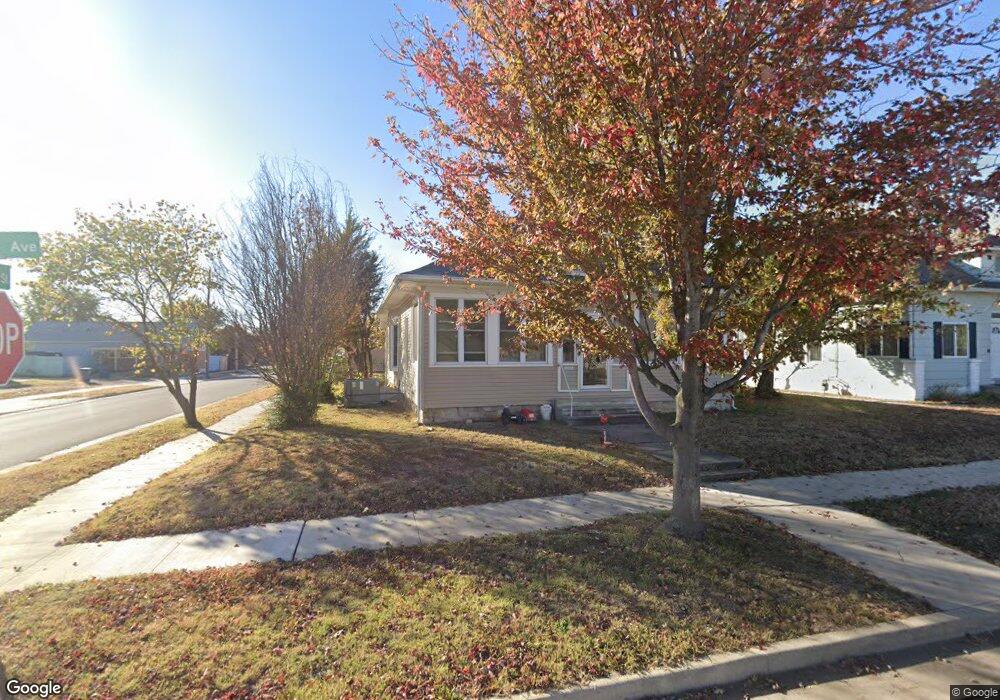
2130 S Connor Ave Joplin, MO 64804
Blendville South NeighborhoodEstimated Value: $146,000 - $159,000
3
Beds
1
Bath
1,432
Sq Ft
$107/Sq Ft
Est. Value
About This Home
This home is located at 2130 S Connor Ave, Joplin, MO 64804 and is currently estimated at $153,321, approximately $107 per square foot. 2130 S Connor Ave is a home located in Jasper County with nearby schools including Cecil Floyd Elementary School, North Middle School, and Joplin High School.
Ownership History
Date
Name
Owned For
Owner Type
Purchase Details
Closed on
Nov 27, 2006
Sold by
Wolfe Eddy M and Wolfe Tilda M
Bought by
Robertson Debbie L
Current Estimated Value
Home Financials for this Owner
Home Financials are based on the most recent Mortgage that was taken out on this home.
Original Mortgage
$60,431
Outstanding Balance
$35,881
Interest Rate
6.37%
Mortgage Type
Purchase Money Mortgage
Estimated Equity
$117,440
Purchase Details
Closed on
Jun 5, 2006
Sold by
Webster Walter O
Bought by
Wolfe Eddy M and Wolfe Tilda M
Home Financials for this Owner
Home Financials are based on the most recent Mortgage that was taken out on this home.
Original Mortgage
$38,800
Interest Rate
6.5%
Mortgage Type
Fannie Mae Freddie Mac
Create a Home Valuation Report for This Property
The Home Valuation Report is an in-depth analysis detailing your home's value as well as a comparison with similar homes in the area
Home Values in the Area
Average Home Value in this Area
Purchase History
| Date | Buyer | Sale Price | Title Company |
|---|---|---|---|
| Robertson Debbie L | -- | None Available | |
| Wolfe Eddy M | -- | Jct |
Source: Public Records
Mortgage History
| Date | Status | Borrower | Loan Amount |
|---|---|---|---|
| Open | Robertson Debbie L | $60,431 | |
| Previous Owner | Wolfe Eddy M | $38,800 |
Source: Public Records
Tax History Compared to Growth
Tax History
| Year | Tax Paid | Tax Assessment Tax Assessment Total Assessment is a certain percentage of the fair market value that is determined by local assessors to be the total taxable value of land and additions on the property. | Land | Improvement |
|---|---|---|---|---|
| 2025 | $680 | $16,700 | $1,210 | $15,490 |
| 2024 | $680 | $14,730 | $1,210 | $13,520 |
| 2023 | $680 | $14,730 | $1,210 | $13,520 |
| 2022 | $663 | $14,420 | $1,210 | $13,210 |
| 2021 | $659 | $14,420 | $1,210 | $13,210 |
| 2020 | $612 | $13,100 | $1,210 | $11,890 |
| 2019 | $613 | $13,100 | $1,210 | $11,890 |
| 2018 | $482 | $10,330 | $0 | $0 |
| 2017 | $483 | $10,330 | $0 | $0 |
| 2016 | $477 | $10,330 | $0 | $0 |
| 2015 | $476 | $10,330 | $0 | $0 |
| 2014 | $476 | $10,330 | $0 | $0 |
Source: Public Records
Map
Nearby Homes
- 2216 & 1/2 S Connor Ave
- 2026 Bird Ave
- 2031 Murphy Ave
- 2109 S Moffet Ave
- 1916 S Murphy Ave
- 2115 Byers Ave
- 2601 S Sergeant Ave
- 2121 S Pearl Ave
- 1901 S Moffet Ave
- 1814 S Sergeant Ave
- 1815 S Picher Ave
- 2118 S Wall Ave
- 1815 S Empire Ave
- 1417 W 20th St
- 2401 S Wall Ave
- 2318 S Harlem Ave
- 2114 S Joplin Ave
- 2108 S Harlem Ave
- 1701 S Jackson Ave
- 1620 S Connor Ave
- 2128 S Connor Ave
- 2202 S Connor Ave
- 2120 S Connor Ave
- 2204 S Connor Ave
- 2129 Bird Ave
- 2116 S Connor Ave
- 2127 Bird Ave
- 2121 Bird Ave
- 2129 S Connor Ave
- 2210 S Connor Ave
- 2127 S Connor Ave
- 2127 S Connor Ave Unit 1
- 2112 S Connor Ave
- 2117 S Connor Ave
- 2201 Bird Ave
- 2115 S Bird
- 2115 S Connor Ave
- 2115 Bird Ave
- 2207 Bird Ave
- 2111 Bird Ave