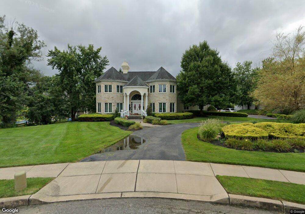
2130 Saint Alberts Cir Huntingdon Valley, PA 19006
Lower Moreland NeighborhoodEstimated Value: $1,069,000 - $1,842,000
4
Beds
5
Baths
6,878
Sq Ft
$211/Sq Ft
Est. Value
About This Home
This home is located at 2130 Saint Alberts Cir, Huntingdon Valley, PA 19006 and is currently estimated at $1,452,977, approximately $211 per square foot. 2130 Saint Alberts Cir is a home located in Montgomery County with nearby schools including Pine Road Elementary School, Murray Avenue School, and Lower Moreland High School.
Ownership History
Date
Name
Owned For
Owner Type
Purchase Details
Closed on
Oct 30, 2009
Sold by
Gabriel Samuel and Gabriel Colette
Bought by
Deangelis Edward and Deangelis Janine
Current Estimated Value
Home Financials for this Owner
Home Financials are based on the most recent Mortgage that was taken out on this home.
Original Mortgage
$800,000
Outstanding Balance
$521,834
Interest Rate
4.98%
Estimated Equity
$931,143
Purchase Details
Closed on
Feb 24, 1997
Sold by
D & S Realty
Bought by
Gabriel Samuel J and Gabriel Colette
Create a Home Valuation Report for This Property
The Home Valuation Report is an in-depth analysis detailing your home's value as well as a comparison with similar homes in the area
Home Values in the Area
Average Home Value in this Area
Purchase History
| Date | Buyer | Sale Price | Title Company |
|---|---|---|---|
| Deangelis Edward | $1,150,000 | None Available | |
| Gabriel Samuel J | $300,000 | -- |
Source: Public Records
Mortgage History
| Date | Status | Borrower | Loan Amount |
|---|---|---|---|
| Open | Deangelis Edward | $800,000 |
Source: Public Records
Tax History Compared to Growth
Tax History
| Year | Tax Paid | Tax Assessment Tax Assessment Total Assessment is a certain percentage of the fair market value that is determined by local assessors to be the total taxable value of land and additions on the property. | Land | Improvement |
|---|---|---|---|---|
| 2025 | $30,461 | $603,320 | $165,510 | $437,810 |
| 2024 | $30,461 | $603,320 | $165,510 | $437,810 |
| 2023 | $29,110 | $603,320 | $165,510 | $437,810 |
| 2022 | $28,256 | $603,320 | $165,510 | $437,810 |
| 2021 | $27,676 | $603,320 | $165,510 | $437,810 |
| 2020 | $26,854 | $603,320 | $165,510 | $437,810 |
| 2019 | $26,451 | $603,320 | $165,510 | $437,810 |
| 2018 | $5,136 | $603,320 | $165,510 | $437,810 |
| 2017 | $24,947 | $603,320 | $165,510 | $437,810 |
| 2016 | $24,712 | $603,320 | $165,510 | $437,810 |
| 2015 | $23,216 | $603,320 | $165,510 | $437,810 |
| 2014 | $23,216 | $603,320 | $165,510 | $437,810 |
Source: Public Records
Map
Nearby Homes
- 0 Welsh Rd Unit 310 PAPH2537678
- 421 Jonathan Place
- 2270 Dale Rd
- 114 Almatt Place
- 1861 Lippincott Rd
- 254 Carson Terrace
- 506 Carson Terrace
- 429 Carson Terrace
- 305 Carson Terrace
- 207 Carson Terrace
- 523 Carson Terrace
- 548 Carson Terrace
- 401 Carson Terrace Unit 401
- 272 Carson Terrace Unit 272
- 423 Carson Terrace
- 554 Carson Terrace
- 9902 Player Dr
- 116 Delia Ln
- 2440 Walton Rd
- 21 Primrose Ln
- 177 Propert Dr
- 2141 Saint Alberts Cir
- 165 Propert Dr
- 184 Welsh Rd
- 2151 Saint Alberts Cir
- 178 Propert Dr
- 161 Propert Dr
- 166 Propert Dr
- 213 Propert Dr
- 190 Propert Dr
- 150 Propert Dr
- 164 Welsh Rd
- 211 Welsh Rd
- 203 Welsh Rd
- 2174 Winthrop Rd
- 170 Welsh Rd
- 195 Welsh Rd
- 2150 Winthrop Rd
- 225 Propert Dr
- 2140 Winthrop Rd