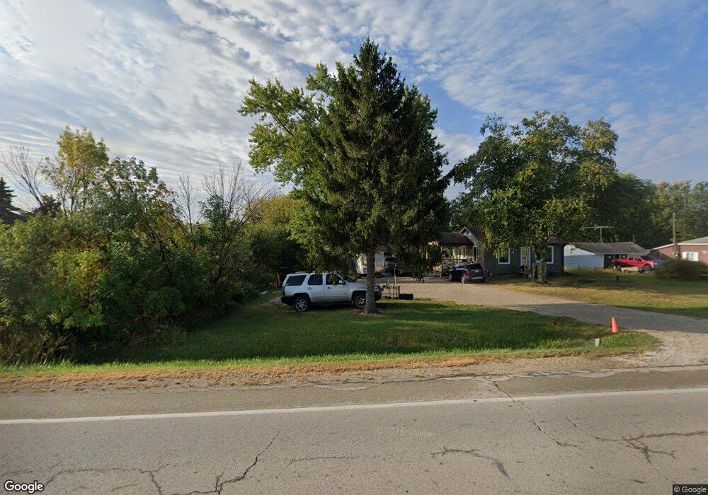
21301 Durand Ave Union Grove, WI 53182
Estimated Value: $144,000 - $289,000
--
Bed
--
Bath
--
Sq Ft
0.8
Acres
About This Home
This home is located at 21301 Durand Ave, Union Grove, WI 53182 and is currently estimated at $198,413. 21301 Durand Ave is a home located in Racine County with nearby schools including Kansasville Elementary School, Union Grove High School, and Union Grove Christian School.
Ownership History
Date
Name
Owned For
Owner Type
Purchase Details
Closed on
May 11, 2022
Sold by
Tom Culbert
Bought by
Hummelt Gary
Current Estimated Value
Home Financials for this Owner
Home Financials are based on the most recent Mortgage that was taken out on this home.
Original Mortgage
$64,000
Outstanding Balance
$60,809
Interest Rate
5.27%
Mortgage Type
New Conventional
Estimated Equity
$137,604
Purchase Details
Closed on
Jan 7, 2011
Sold by
Citifinancial Inc
Bought by
Culbert Tom
Purchase Details
Closed on
Sep 24, 2010
Sold by
Estate Of Robert L Raynie
Bought by
Citifinancial Inc
Create a Home Valuation Report for This Property
The Home Valuation Report is an in-depth analysis detailing your home's value as well as a comparison with similar homes in the area
Home Values in the Area
Average Home Value in this Area
Purchase History
| Date | Buyer | Sale Price | Title Company |
|---|---|---|---|
| Hummelt Gary | $80,000 | Bell Title | |
| Culbert Tom | $40,000 | Merit Title Llc | |
| Citifinancial Inc | -- | None Available |
Source: Public Records
Mortgage History
| Date | Status | Borrower | Loan Amount |
|---|---|---|---|
| Open | Hummelt Gary | $64,000 |
Source: Public Records
Tax History Compared to Growth
Tax History
| Year | Tax Paid | Tax Assessment Tax Assessment Total Assessment is a certain percentage of the fair market value that is determined by local assessors to be the total taxable value of land and additions on the property. | Land | Improvement |
|---|---|---|---|---|
| 2024 | $1,405 | $107,500 | $60,000 | $47,500 |
| 2023 | $1,400 | $107,500 | $60,000 | $47,500 |
| 2022 | $875 | $107,500 | $60,000 | $47,500 |
| 2021 | $979 | $79,400 | $40,000 | $39,400 |
| 2020 | $1,104 | $79,400 | $40,000 | $39,400 |
| 2019 | $1,067 | $79,400 | $40,000 | $39,400 |
| 2018 | $1,088 | $79,400 | $40,000 | $39,400 |
| 2017 | $1,087 | $79,400 | $40,000 | $39,400 |
| 2016 | $1,136 | $79,400 | $40,000 | $39,400 |
| 2015 | $1,188 | $79,400 | $40,000 | $39,400 |
| 2014 | $1,114 | $79,400 | $40,000 | $39,400 |
| 2013 | $1,209 | $79,400 | $40,000 | $39,400 |
Source: Public Records
Map
Nearby Homes
- Lt7 10th Ave
- Lt5 10th Ave
- Lt3 10th Ave
- Lt1 10th Ave
- 305 York St
- 319 York St Unit Lt64
- 1221 W Kiddle Ln
- 1206 15th Ave
- Lt78 Valley Hill Ln
- Lt0 Durand Ave
- Lt115 Hill Dr
- Lt113 Hill Dr
- 1030 Main St
- 544 Kiddle Ln
- 1020 Main St
- 528 Kiddle Ln
- 1027 Main St
- Lt85 Valley Hill Ln
- Ashford Plan at Canopy Hill
- Weston Plan at Canopy Hill
- 21307 Durand Ave
- 21321 Durand Ave
- 21321 Durand Ave
- 21341 Durand Ave
- 21345 Durand Ave
- 21415 Durand Ave
- 21115 Durand Ave
- 21410 Durand Ave
- 4511 Schoen Rd
- 4515 Schoen Rd
- 4525 Schoen Rd
- 4535 Schoen Rd
- 4545 Schoen Rd
- 4611 Schoen Rd
- 4621 Schoen Rd
- 4440 Schoen Rd
- 4514 Schoen Rd
- 4542 Schoen Rd
- 4701 Schoen Rd
- 4526 Schoen Rd