21303 Fady Rd Glouster, OH 45732
Estimated Value: $123,000 - $181,000
3
Beds
1
Bath
1,316
Sq Ft
$113/Sq Ft
Est. Value
About This Home
This home is located at 21303 Fady Rd, Glouster, OH 45732 and is currently estimated at $148,882, approximately $113 per square foot. 21303 Fady Rd is a home located in Athens County with nearby schools including Trimble Elementary School, Trimble Middle School, and Trimble High School.
Ownership History
Date
Name
Owned For
Owner Type
Purchase Details
Closed on
Feb 11, 2022
Sold by
Mayle Faye W
Bought by
Kearns Jason and Kearns Mary B
Current Estimated Value
Home Financials for this Owner
Home Financials are based on the most recent Mortgage that was taken out on this home.
Original Mortgage
$90,000
Outstanding Balance
$83,572
Interest Rate
3.55%
Mortgage Type
New Conventional
Estimated Equity
$65,310
Purchase Details
Closed on
May 28, 2021
Sold by
Mayle Faye E
Bought by
Mayle Rodney W
Purchase Details
Closed on
May 5, 1992
Sold by
Mayle Chester W Faye
Bought by
Mayle Faye
Create a Home Valuation Report for This Property
The Home Valuation Report is an in-depth analysis detailing your home's value as well as a comparison with similar homes in the area
Home Values in the Area
Average Home Value in this Area
Purchase History
| Date | Buyer | Sale Price | Title Company |
|---|---|---|---|
| Kearns Jason | -- | None Listed On Document | |
| Mayle Rodney W | -- | None Available | |
| Mayle Faye | -- | -- |
Source: Public Records
Mortgage History
| Date | Status | Borrower | Loan Amount |
|---|---|---|---|
| Open | Kearns Jason | $90,000 |
Source: Public Records
Tax History Compared to Growth
Tax History
| Year | Tax Paid | Tax Assessment Tax Assessment Total Assessment is a certain percentage of the fair market value that is determined by local assessors to be the total taxable value of land and additions on the property. | Land | Improvement |
|---|---|---|---|---|
| 2024 | $1,372 | $32,920 | $11,850 | $21,070 |
| 2023 | $1,347 | $32,920 | $11,850 | $21,070 |
| 2022 | $764 | $26,660 | $9,880 | $16,780 |
| 2021 | $1,166 | $35,260 | $17,900 | $17,360 |
| 2020 | $1,082 | $35,260 | $17,900 | $17,360 |
| 2019 | $1,000 | $31,430 | $15,380 | $16,050 |
| 2018 | $1,103 | $31,430 | $15,380 | $16,050 |
| 2017 | $2,095 | $31,430 | $15,380 | $16,050 |
| 2016 | $976 | $28,900 | $13,980 | $14,920 |
| 2015 | $1,911 | $28,900 | $13,980 | $14,920 |
| 2014 | $1,911 | $28,900 | $13,980 | $14,920 |
| 2013 | $1,524 | $26,340 | $11,770 | $14,570 |
Source: Public Records
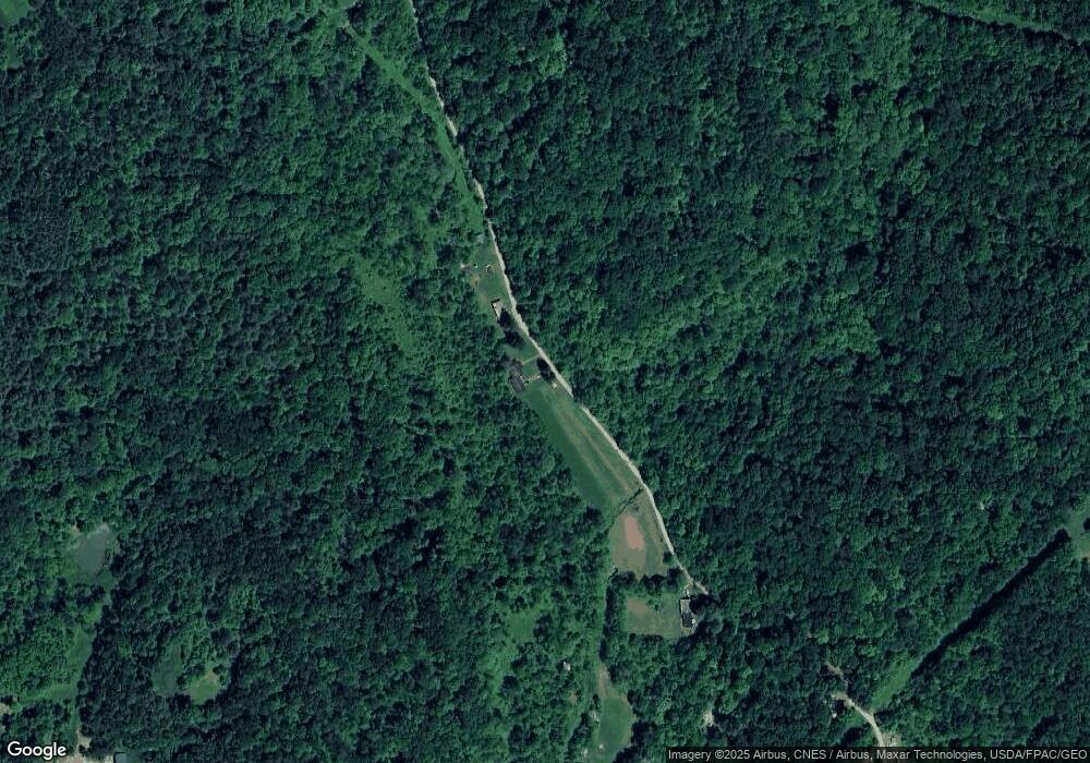
Map
Nearby Homes
- 140 Sycamore St
- 31 Locust St
- 33 S High St
- 10271 Antle Orchard Rd
- 93 Main St
- 88 Front St
- 0 Greens Run Rd
- 19477 Center
- 13899 Locust St
- 19500 Lake Dr
- 45747 Long St
- 0 Red Rock Rd
- 6 E Main St
- 11789 Congress Run Rd
- 18242 Ohio 13
- 0 Oregon Ridge Rd Unit 23564746
- Lambert Rd
- 0 Marietta Ave
- 17795 N Akron Ave
- 44438 Carbon Hill Buchtel Rd
- 21195 Fady Rd
- 21061 Houston Rd
- 21081 Fady Rd
- 21120 Houston Rd
- 21011 Houston Rd
- 21065 Houston Rd
- 21150 Hollister Cemetary Rd
- 8544 Moscatord
- 8350 Hunterdon Rd
- 8320 Hunterdon Rd
- 8550 Hunterdon Rd
- 8532 Hunterdon Rd
- 8594 Hunterdon Rd
- 8362 Old State Route 78
- 8612 Hunterdon Rd
- 8250 Hunterdon Rd
- 8315 Hunterdon Rd
- 8656 Hunterdon Rd
- 8577 Old State Route 78
- 8577 Old State Route 78