Estimated Value: $48,000 - $214,000
--
Bed
--
Bath
1,280
Sq Ft
$97/Sq Ft
Est. Value
About This Home
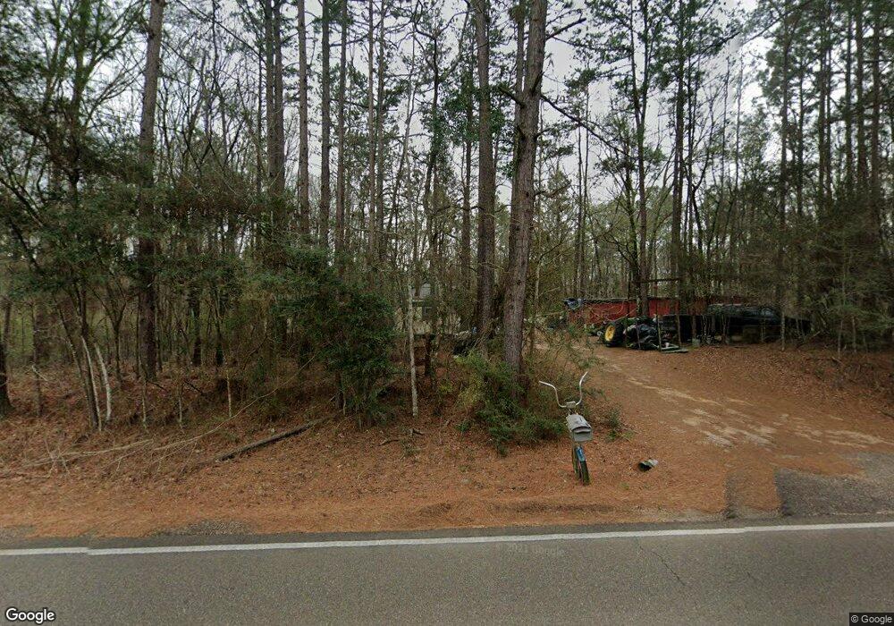
This home is located at 21306 Highway 1061, Amite, LA 70422 and is currently estimated at $124,018, approximately $96 per square foot. 21306 Highway 1061 is a home located in Tangipahoa Parish with nearby schools including Amite Elementary Magnet School, Amite Westside Middle Magnet, and Amite High Magnet.
Ownership History
Date
Name
Owned For
Owner Type
Purchase Details
Closed on
Mar 7, 2025
Sold by
Mcalister Roxanne
Bought by
Mcalister Joseph Leroy
Current Estimated Value
Home Financials for this Owner
Home Financials are based on the most recent Mortgage that was taken out on this home.
Original Mortgage
$34,146
Outstanding Balance
$33,974
Interest Rate
6.95%
Mortgage Type
New Conventional
Estimated Equity
$90,044
Purchase Details
Closed on
Nov 28, 2006
Sold by
C D & Lp
Bought by
Gewalt John H and Gewalt Charles D
Home Financials for this Owner
Home Financials are based on the most recent Mortgage that was taken out on this home.
Original Mortgage
$47,594
Interest Rate
6.41%
Mortgage Type
Unknown
Create a Home Valuation Report for This Property
The Home Valuation Report is an in-depth analysis detailing your home's value as well as a comparison with similar homes in the area
Home Values in the Area
Average Home Value in this Area
Purchase History
| Date | Buyer | Sale Price | Title Company |
|---|---|---|---|
| Mcalister Joseph Leroy | -- | None Listed On Document | |
| Mcalister Joseph Leroy | -- | None Listed On Document | |
| Gewalt John H | $29,262 | None Available |
Source: Public Records
Mortgage History
| Date | Status | Borrower | Loan Amount |
|---|---|---|---|
| Open | Mcalister Joseph Leroy | $34,146 | |
| Closed | Mcalister Joseph Leroy | $34,146 | |
| Previous Owner | Gewalt John H | $47,594 |
Source: Public Records
Tax History Compared to Growth
Tax History
| Year | Tax Paid | Tax Assessment Tax Assessment Total Assessment is a certain percentage of the fair market value that is determined by local assessors to be the total taxable value of land and additions on the property. | Land | Improvement |
|---|---|---|---|---|
| 2024 | $312 | $4,063 | $172 | $3,891 |
| 2023 | $304 | $3,940 | $172 | $3,768 |
| 2022 | $304 | $3,940 | $172 | $3,768 |
| 2021 | $285 | $3,940 | $172 | $3,768 |
| 2020 | $324 | $3,940 | $172 | $3,768 |
| 2019 | $324 | $3,940 | $172 | $3,768 |
| 2018 | $320 | $3,940 | $172 | $3,768 |
| 2017 | $312 | $3,940 | $172 | $3,768 |
| 2016 | $320 | $3,940 | $172 | $3,768 |
| 2015 | -- | $4,104 | $172 | $3,932 |
| 2014 | -- | $4,104 | $172 | $3,932 |
Source: Public Records
Map
Nearby Homes
- 21305 Louisiana 1061
- 21305 Hwy 1061 None
- 64450 J Catha Dr
- 63279 Lowery Rd
- 62318 Friendship Church Rd
- 21490 Louisiana 10
- 0 Newman Briggs Rd Unit 2499387
- 1 Mixon Rd
- 19181 Rolling Pines Rd
- B-1 Olan Bankston Rd
- 60412 Ruth Holton Rd
- TBD Ruth Holton Rd
- 0 Miller Ln
- 18065 Back Ridge Rd
- B-2 Olan Bankston Rd
- 25129 Corban Ln
- 21366 Highway 1061
- 21366 Highway 1061
- 21366 Louisiana 1061
- 21380 Highway 1061
- 21380 Highway 1061
- 21380 Louisiana 1061
- 21305 Highway 1061
- 21329 Highway 1061
- 21210 Highway 1061
- 21458 Highway 1061
- 21209 Highway 1061
- 21475 Highway 1061
- 21125 Highway 1061
- 21125 Highway 1061
- 21143 Highway 1061
- 21120 Highway 1061
- 21119 Louisiana 1061
- 21556 Highway 1061
- 21128 Burdette Lee Rd
- 21370 Burdette Lee Rd