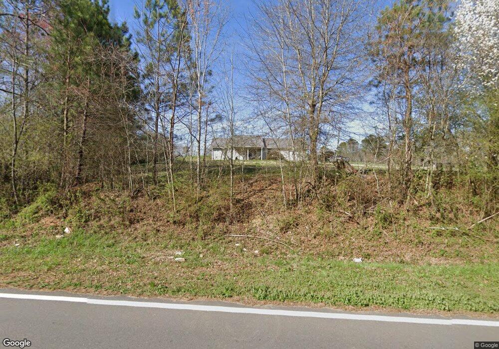
2131 Broad St Tallapoosa, GA 30176
Estimated Value: $202,690 - $303,000
2
Beds
2
Baths
1,104
Sq Ft
$217/Sq Ft
Est. Value
About This Home
This home is located at 2131 Broad St, Tallapoosa, GA 30176 and is currently estimated at $239,173, approximately $216 per square foot. 2131 Broad St is a home located in Haralson County with nearby schools including Haralson County High School.
Ownership History
Date
Name
Owned For
Owner Type
Purchase Details
Closed on
Apr 25, 2014
Sold by
Brock Phillip Howard
Bought by
Webb Jean
Current Estimated Value
Purchase Details
Closed on
Dec 28, 2012
Sold by
Webb Jean
Bought by
Brock Phillip Howard and Brock Sylvia Jean
Purchase Details
Closed on
Oct 2, 2007
Sold by
Not Provided
Bought by
Webb Erma Jean
Purchase Details
Closed on
Jul 14, 2006
Sold by
Not Provided
Bought by
Jean Webb Erma
Home Financials for this Owner
Home Financials are based on the most recent Mortgage that was taken out on this home.
Original Mortgage
$116,000
Interest Rate
6.6%
Mortgage Type
New Conventional
Purchase Details
Closed on
May 2, 2006
Sold by
Not Provided
Bought by
Webb Erma Jean
Create a Home Valuation Report for This Property
The Home Valuation Report is an in-depth analysis detailing your home's value as well as a comparison with similar homes in the area
Home Values in the Area
Average Home Value in this Area
Purchase History
| Date | Buyer | Sale Price | Title Company |
|---|---|---|---|
| Webb Jean | -- | -- | |
| Brock Phillip Howard | $99,900 | -- | |
| Webb Erma Jean | -- | -- | |
| Jean Webb Erma | $117,000 | -- | |
| Webb Erma Jean | -- | -- |
Source: Public Records
Mortgage History
| Date | Status | Borrower | Loan Amount |
|---|---|---|---|
| Previous Owner | Jean Webb Erma | $116,000 |
Source: Public Records
Tax History Compared to Growth
Tax History
| Year | Tax Paid | Tax Assessment Tax Assessment Total Assessment is a certain percentage of the fair market value that is determined by local assessors to be the total taxable value of land and additions on the property. | Land | Improvement |
|---|---|---|---|---|
| 2024 | $1,329 | $51,254 | $3,400 | $47,854 |
| 2023 | $1,409 | $54,346 | $3,400 | $50,946 |
| 2022 | $1,203 | $44,876 | $3,400 | $41,476 |
| 2021 | $1,195 | $42,760 | $3,400 | $39,360 |
| 2020 | $1,213 | $43,224 | $3,400 | $39,824 |
| 2019 | $1,180 | $38,722 | $3,400 | $35,322 |
| 2018 | $917 | $31,011 | $3,400 | $27,611 |
| 2017 | $1,008 | $31,011 | $3,400 | $27,611 |
| 2016 | $950 | $31,011 | $3,400 | $27,611 |
| 2015 | $939 | $30,637 | $3,400 | $27,237 |
| 2014 | $935 | $30,966 | $3,400 | $27,566 |
Source: Public Records
Map
Nearby Homes
- 897 George Green Rd
- 80 Sanders Creek Rd
- 0 Jacksonville Loop Unit 147556
- 1304 Broad St
- 0 Highway 78 Unit 18172206
- 0 George Green Rd Unit 10614283
- 0 George Green Rd Unit 148073
- 0 George Green Rd Unit 148074
- 0 George Green Rd Unit 10558286
- 0 George Green Rd Unit 10558285
- 302 Riverside Rd
- 215 Steadman Rd
- 0 Hagood Rd Unit 10506449
- 0 Hagood Rd Unit 5670400
- 135 Oakland Ct
- Off Us Hwy 78 Unit LotWP001
- 28 McDonald Ridge
- 110 Dunson Rd
- 10 + - Acres On J Davis Rd
- 77 McDonald Rd