2131 Dunrobin Ln E Port Orchard, WA 98366
Estimated Value: $629,818 - $714,000
3
Beds
3
Baths
1,372
Sq Ft
$482/Sq Ft
Est. Value
About This Home
This home is located at 2131 Dunrobin Ln E, Port Orchard, WA 98366 and is currently estimated at $660,705, approximately $481 per square foot. 2131 Dunrobin Ln E is a home located in Kitsap County with nearby schools including Orchard Heights Elementary School, Marcus Whitman Middle School, and South Kitsap High School.
Ownership History
Date
Name
Owned For
Owner Type
Purchase Details
Closed on
Mar 27, 1996
Sold by
Johnson Gerald W and Johnson Lisa A
Bought by
Smyth David S and Smyth Ina Raelene
Current Estimated Value
Home Financials for this Owner
Home Financials are based on the most recent Mortgage that was taken out on this home.
Original Mortgage
$157,700
Outstanding Balance
$7,465
Interest Rate
7.41%
Estimated Equity
$653,240
Create a Home Valuation Report for This Property
The Home Valuation Report is an in-depth analysis detailing your home's value as well as a comparison with similar homes in the area
Home Values in the Area
Average Home Value in this Area
Purchase History
| Date | Buyer | Sale Price | Title Company |
|---|---|---|---|
| Smyth David S | $166,000 | Land Title Company |
Source: Public Records
Mortgage History
| Date | Status | Borrower | Loan Amount |
|---|---|---|---|
| Open | Smyth David S | $157,700 |
Source: Public Records
Tax History Compared to Growth
Tax History
| Year | Tax Paid | Tax Assessment Tax Assessment Total Assessment is a certain percentage of the fair market value that is determined by local assessors to be the total taxable value of land and additions on the property. | Land | Improvement |
|---|---|---|---|---|
| 2026 | $4,215 | $485,100 | $94,190 | $390,910 |
| 2025 | $4,215 | $485,100 | $94,190 | $390,910 |
| 2024 | $4,083 | $484,520 | $94,190 | $390,330 |
| 2023 | $4,054 | $484,520 | $94,190 | $390,330 |
| 2022 | $3,891 | $388,980 | $75,500 | $313,480 |
| 2021 | $3,730 | $353,020 | $71,900 | $281,120 |
| 2020 | $3,637 | $334,290 | $63,100 | $271,190 |
| 2019 | $3,133 | $316,510 | $59,510 | $257,000 |
| 2018 | $3,272 | $249,380 | $53,870 | $195,510 |
| 2017 | $2,723 | $249,380 | $53,870 | $195,510 |
| 2016 | $2,862 | $240,590 | $51,300 | $189,290 |
| 2015 | $2,641 | $224,680 | $51,300 | $173,380 |
| 2014 | -- | $206,200 | $53,480 | $152,720 |
| 2013 | -- | $206,200 | $53,480 | $152,720 |
Source: Public Records
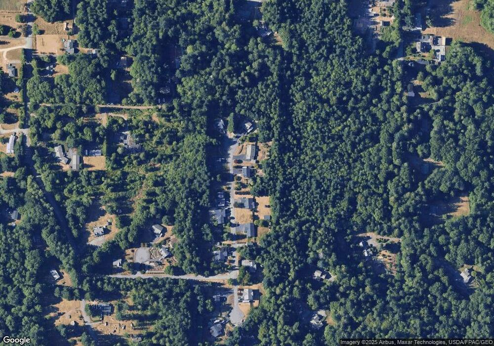
Map
Nearby Homes
- 5405 E Harbor Heights Dr
- 5495 E Collins Rd
- 5787 E Collins Rd
- 3193 Woods Rd E
- 1485 Eady Place E
- 803 Collins Creek Ln E
- 1135 Hillandale Dr E
- 6417 E Michigan St
- 1200 Baby Doll Rd E
- 4798 E Stable Ln
- 1738 Lilypad Place E
- 3643 Beach Dr E
- 5 Lots Lilypad Place E
- 7000 E Dakota St
- 3538 Beach Dr E
- 7041 E Washington St
- 6717 E Polk Ave
- 6997 E Bullseye St
- 0 Nevada Ave & Michigan St Unit NWM2365944
- 22 Lots Ave
- 2123 Dunrobin Ln E
- 2139 Dunrobin Ln E
- 2126 Dunrobin Ln E
- 2118 Dunrobin Ln E
- 2115 Dunrobin Ln E
- 2142 Dunrobin Ln E
- 2110 Dunrobin Ln E
- 5309 Tartan Ln E
- 5317 Tartan Ln E
- 2056 Opdal Rd E
- 2097 Buckhaven Ct E
- 2357 Mountain View Rd E
- 2098 Buckhaven Ct E
- 2363 Mountain View Rd E
- 2062 Opdal Rd E
- 2655 Harbor Heights Ln E
- 2048 Opdal Rd E
- 2158 Opdal Rd E
- 2089 Buckhaven Ct E