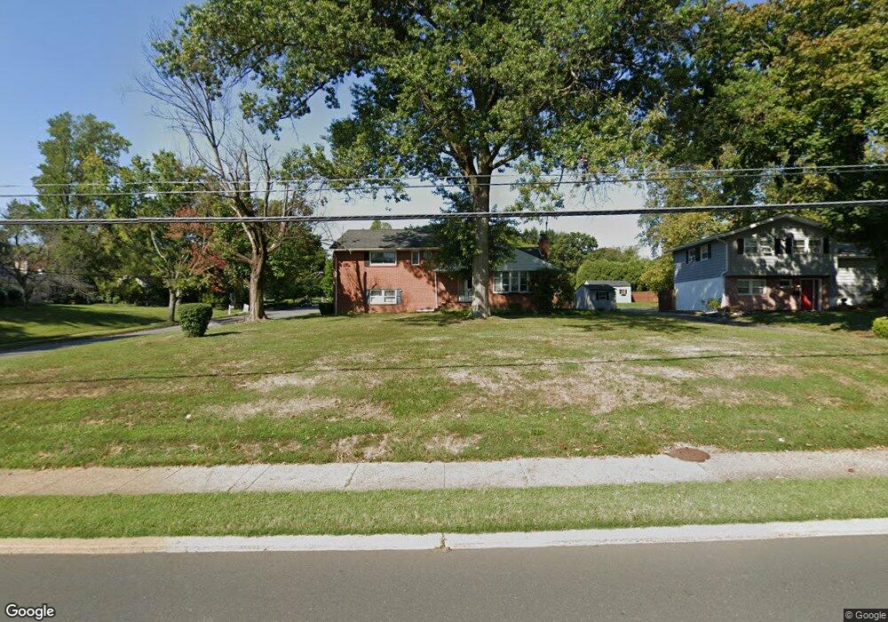
2131 Pennington Rd Ewing, NJ 08638
Ewingville NeighborhoodEstimated Value: $434,488 - $561,000
Studio
--
Bath
2,208
Sq Ft
$227/Sq Ft
Est. Value
About This Home
This home is located at 2131 Pennington Rd, Ewing, NJ 08638 and is currently estimated at $502,122, approximately $227 per square foot. 2131 Pennington Rd is a home located in Mercer County with nearby schools including Ewing High School, Trenton Stem-To-Civics Charter School, and Guidepost Montessori at Lawrenceville.
Ownership History
Date
Name
Owned For
Owner Type
Purchase Details
Closed on
Jul 8, 1996
Sold by
Cunningham Thomas
Bought by
Robinson Gail E
Current Estimated Value
Home Financials for this Owner
Home Financials are based on the most recent Mortgage that was taken out on this home.
Original Mortgage
$145,000
Outstanding Balance
$10,241
Interest Rate
7.98%
Estimated Equity
$491,881
Create a Home Valuation Report for This Property
The Home Valuation Report is an in-depth analysis detailing your home's value as well as a comparison with similar homes in the area
Home Values in the Area
Average Home Value in this Area
Purchase History
We collect this data history from publicly available records. To have your information removed, we recommend requesting removal directly through your county’s website.
| Date | Buyer | Sale Price | Title Company |
|---|---|---|---|
| Robinson Gail E | $149,000 | -- |
Source: Public Records
Mortgage History
We collect this data history from publicly available records. To have your information removed, we recommend requesting removal directly through your county’s website.
| Date | Status | Borrower | Loan Amount |
|---|---|---|---|
| Open | Robinson Gail E | $145,000 |
Source: Public Records
Tax History
| Year | Tax Paid | Tax Assessment Tax Assessment Total Assessment is a certain percentage of the fair market value that is determined by local assessors to be the total taxable value of land and additions on the property. | Land | Improvement |
|---|---|---|---|---|
| 2025 | $11,189 | $284,500 | $59,600 | $224,900 |
| 2024 | $10,518 | $284,500 | $59,600 | $224,900 |
| 2023 | $10,518 | $284,500 | $59,600 | $224,900 |
| 2022 | $10,233 | $284,500 | $59,600 | $224,900 |
| 2021 | $9,983 | $284,500 | $59,600 | $224,900 |
| 2020 | $9,841 | $284,500 | $59,600 | $224,900 |
| 2019 | $9,585 | $284,500 | $59,600 | $224,900 |
| 2018 | $7,712 | $146,000 | $46,700 | $99,300 |
| 2017 | $7,891 | $146,000 | $46,700 | $99,300 |
| 2016 | $7,785 | $146,000 | $46,700 | $99,300 |
| 2015 | $7,681 | $146,000 | $46,700 | $99,300 |
| 2014 | $7,661 | $146,000 | $46,700 | $99,300 |
Source: Public Records
Map
Nearby Homes
- 2148 Pennington Rd
- 2164 Pennington Rd
- 19 Farm Rd
- 6 Farm Rd
- 27 Bayberry Rd
- 89 Upper Ferry Rd
- 13 Hickory Hill Dr
- 6 Sparrow Ct
- 194 Bull Run Rd
- 108 Susan Dr
- 11 Metekunk Dr
- 159 Bull Run Rd
- 2 Rockleigh Dr
- 235 Masterson Ct
- 222 Masterson Ct
- 231 Masterson Ct
- 112 Masterson Ct
- 14 van Duyn Dr
- 3 Beth Ann Way
- 416 Masterson Ct
- 2137 Pennington Rd
- 1 Hilltop Rd
- 2143 Pennington Rd
- 12 Hilltop Rd
- 2149 Pennington Rd
- 14 Hilltop Rd
- 2130 Pennington Rd
- 2136 Pennington Rd
- 7 Hilltop Rd
- 2140 Pennington Rd
- 9 Hilltop Rd
- 2122 Pennington Rd
- 2120 Pennington Rd
- 18 Hilltop Rd
- 2153 Pennington Rd
- 2144 Pennington Rd
- 15 Hilltop Rd
- 2 Brighton Rd
- 2 Hampton Rd
- 22 Hilltop Rd
Your Personal Tour Guide
Ask me questions while you tour the home.