2131 Saxton Rd Scipio Center, NY 13147
Estimated Value: $204,000 - $275,000
2
Beds
2
Baths
1,745
Sq Ft
$133/Sq Ft
Est. Value
About This Home
This home is located at 2131 Saxton Rd, Scipio Center, NY 13147 and is currently estimated at $231,366, approximately $132 per square foot. 2131 Saxton Rd is a home located in Cayuga County with nearby schools including Southern Cayuga High School Secondary School.
Ownership History
Date
Name
Owned For
Owner Type
Purchase Details
Closed on
May 7, 2008
Sold by
Renslow Deborah
Bought by
Renslow Deborah
Current Estimated Value
Purchase Details
Closed on
Nov 22, 2006
Sold by
Leather Jeremy
Bought by
Renslow Deborah
Home Financials for this Owner
Home Financials are based on the most recent Mortgage that was taken out on this home.
Original Mortgage
$97,200
Interest Rate
8.55%
Mortgage Type
Adjustable Rate Mortgage/ARM
Purchase Details
Closed on
Apr 28, 2000
Sold by
Leather Ann
Bought by
Leather Jeremy
Create a Home Valuation Report for This Property
The Home Valuation Report is an in-depth analysis detailing your home's value as well as a comparison with similar homes in the area
Home Values in the Area
Average Home Value in this Area
Purchase History
| Date | Buyer | Sale Price | Title Company |
|---|---|---|---|
| Renslow Deborah | -- | -- | |
| Renslow Deborah | $108,000 | Kevin Taylor | |
| Leather Jeremy | $45,000 | None |
Source: Public Records
Mortgage History
| Date | Status | Borrower | Loan Amount |
|---|---|---|---|
| Previous Owner | Renslow Deborah | $97,200 |
Source: Public Records
Tax History Compared to Growth
Tax History
| Year | Tax Paid | Tax Assessment Tax Assessment Total Assessment is a certain percentage of the fair market value that is determined by local assessors to be the total taxable value of land and additions on the property. | Land | Improvement |
|---|---|---|---|---|
| 2024 | $2,773 | $136,700 | $35,000 | $101,700 |
| 2023 | $3,073 | $136,700 | $35,000 | $101,700 |
| 2022 | $3,287 | $115,000 | $27,500 | $87,500 |
| 2021 | $3,270 | $115,000 | $27,500 | $87,500 |
| 2020 | $2,885 | $115,000 | $27,500 | $87,500 |
| 2019 | $1,730 | $115,000 | $27,500 | $87,500 |
| 2018 | $2,814 | $115,000 | $27,500 | $87,500 |
| 2017 | $2,786 | $115,000 | $27,500 | $87,500 |
| 2016 | $2,777 | $115,000 | $27,500 | $87,500 |
| 2015 | -- | $110,100 | $28,500 | $81,600 |
| 2014 | -- | $110,100 | $28,500 | $81,600 |
Source: Public Records
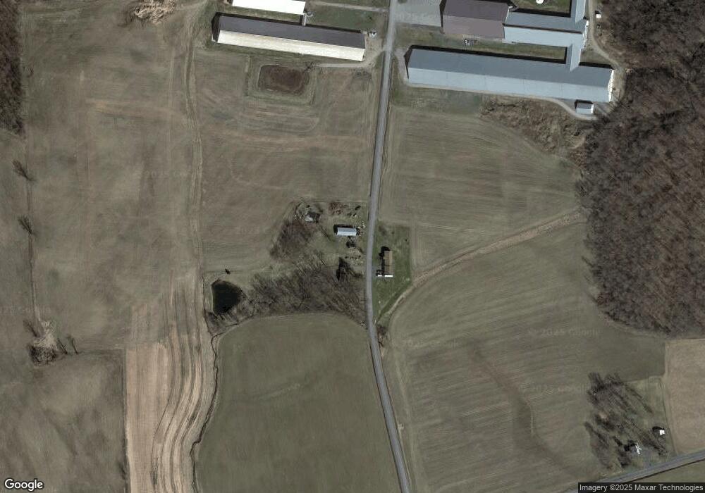
Map
Nearby Homes
- 2559 State Route 34
- 0 New York 34
- 2259 Center Rd
- 1041 Maple St
- Rt-90 Unit LotWP001
- 1058 Bradley St
- 3423 New York 34
- 2797 Center Rd
- 1366 Rafferty Rd
- 3387 State Route 34b
- 1695 Levanna Rd
- 5 Scotts Ln
- WP1 New York 90
- 3999 Holley Rd
- 1183 Honoco Rd
- 1580 Gray Rd
- 1653 Honoco Rd
- 1659 Honoco Rd
- 2173 State Route 90
- 901 Sherwood Rd
- 2130 Saxton Rd
- 2501 Kenyon Rd
- 2219 Saxton Rd
- 2548 Kenyon Rd
- 2231 Indian Field Rd
- 2086 W Corey Rd
- 2070 W Corey Rd
- 2054 W Corey Rd
- 2337 Indian Field Rd
- 2045 W Corey Rd
- 2377 Indian Field Rd
- 2455 Cook Rd
- 2383 Cook Rd
- 2390 Cook Rd
- 2518 Cook Rd
- 2341 Cook Rd
- 2569 Cook Rd
- 19 Scott's Ln
- 2334 Cook Rd
- 2211 Landon Rd