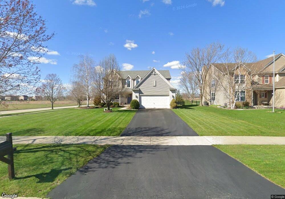
2132 Bartram Rd North Aurora, IL 60542
Nelson Lake NeighborhoodEstimated Value: $449,792 - $529,000
3
Beds
3
Baths
2,250
Sq Ft
$223/Sq Ft
Est. Value
About This Home
This home is located at 2132 Bartram Rd, North Aurora, IL 60542 and is currently estimated at $500,948, approximately $222 per square foot. 2132 Bartram Rd is a home located in Kane County with nearby schools including Kaneland Blackberry Creek Elementary School, Harter Middle School, and Kaneland High School.
Ownership History
Date
Name
Owned For
Owner Type
Purchase Details
Closed on
Nov 9, 2006
Sold by
Neumann Homes Inc
Bought by
Dominguez Valentin and Dominguez Maria
Current Estimated Value
Home Financials for this Owner
Home Financials are based on the most recent Mortgage that was taken out on this home.
Original Mortgage
$233,912
Outstanding Balance
$140,374
Interest Rate
6.47%
Mortgage Type
Construction
Estimated Equity
$360,574
Create a Home Valuation Report for This Property
The Home Valuation Report is an in-depth analysis detailing your home's value as well as a comparison with similar homes in the area
Home Values in the Area
Average Home Value in this Area
Purchase History
| Date | Buyer | Sale Price | Title Company |
|---|---|---|---|
| Dominguez Valentin | $292,500 | Chicago Title Insurance Co |
Source: Public Records
Mortgage History
| Date | Status | Borrower | Loan Amount |
|---|---|---|---|
| Open | Dominguez Valentin | $233,912 |
Source: Public Records
Tax History
| Year | Tax Paid | Tax Assessment Tax Assessment Total Assessment is a certain percentage of the fair market value that is determined by local assessors to be the total taxable value of land and additions on the property. | Land | Improvement |
|---|---|---|---|---|
| 2024 | $9,511 | $120,302 | $12,735 | $107,567 |
| 2023 | $9,876 | $108,576 | $11,494 | $97,082 |
| 2022 | $9,199 | $98,054 | $10,549 | $87,505 |
| 2021 | $8,937 | $93,850 | $10,097 | $83,753 |
| 2020 | $8,773 | $91,650 | $9,860 | $81,790 |
| 2019 | $8,858 | $90,304 | $9,715 | $80,589 |
| 2018 | $8,756 | $87,143 | $9,715 | $77,428 |
| 2017 | $8,794 | $86,153 | $9,605 | $76,548 |
| 2016 | $9,179 | $88,029 | $9,352 | $78,677 |
| 2015 | -- | $85,997 | $8,987 | $77,010 |
| 2014 | -- | $82,967 | $11,666 | $71,301 |
| 2013 | -- | $82,967 | $11,666 | $71,301 |
Source: Public Records
Map
Nearby Homes
- 1009 Bennett Ct
- 3S177 Deerpath Rd
- 924 Fair Meadow St
- 2S976 Deerpath Rd
- 925 Fair Meadow St
- 867 Fair Meadow Ct
- 1791 Breton Ave
- 2518 Imgrund Rd Unit 3
- 1799 Breton Ave
- 1655 Patterson Ave
- 2593 Moutray Ln
- 1647 Patterson Ave
- 1638 Patterson Ave
- 1639 Patterson Ave
- 1630 Patterson Ave
- 2S720 Nelson Lake Rd
- 1736 Breton Ave
- 1622 Patterson Ave
- 1623 Patterson Ave
- 443 Glover Dr
- 2124 Bartram Rd
- 2086 Sandell Ln
- 2148 Bartram Rd
- 2116 Bartram Rd
- 2102 Sandell Ln
- 2078 Sandell Ln
- 2156 Bartram Rd
- 2108 Bartram Rd
- 2103 Sandell Ln
- 2110 Sandell Ln
- LOT552 Sandell Ln
- 2117 Bartram Rd
- 2070 Sandell Ln
- 2095 Sandell Ln
- 2111 Sandell Ln
- 2164 Bartram Rd
- 2109 Bartram Rd
- 2087 Sandell Ln
- 2100 Bartram Rd
- 2071 Sandell Ln
Your Personal Tour Guide
Ask me questions while you tour the home.