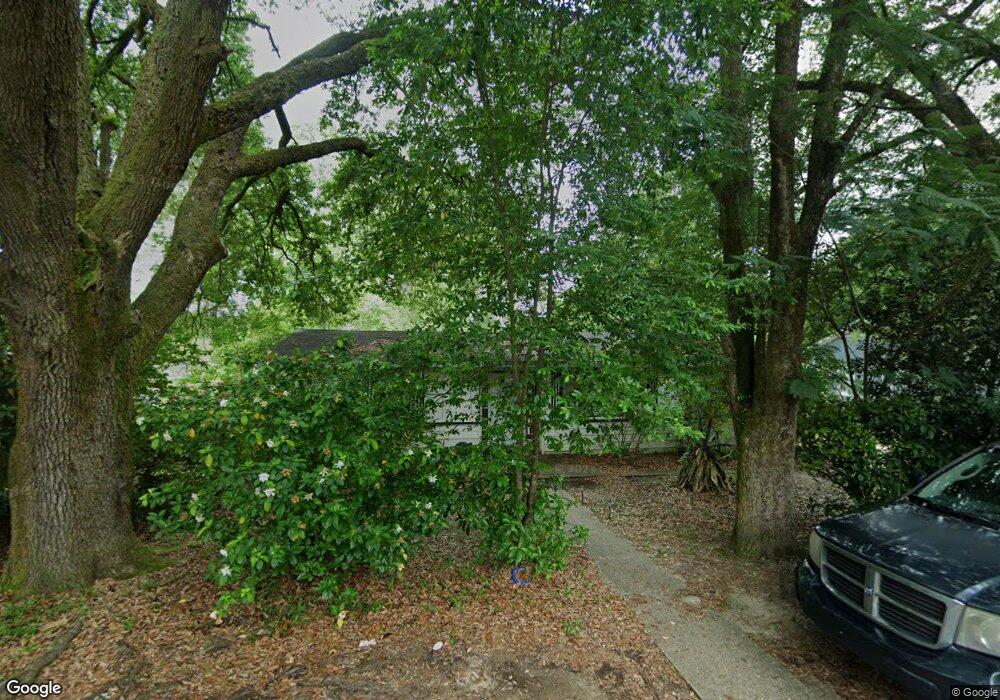
2132 Hamilton Rd Mobile, AL 36618
Autumndale NeighborhoodEstimated Value: $46,000 - $117,000
3
Beds
1
Bath
1,068
Sq Ft
$86/Sq Ft
Est. Value
About This Home
This home is located at 2132 Hamilton Rd, Mobile, AL 36618 and is currently estimated at $91,935, approximately $86 per square foot. 2132 Hamilton Rd is a home located in Mobile County with nearby schools including Forest Hill Elementary School, CL Scarborough Middle School, and Mattie T Blount High School.
Ownership History
Date
Name
Owned For
Owner Type
Purchase Details
Closed on
Dec 9, 2008
Sold by
U S Bank National Association
Bought by
Lawson Real Estate Llc
Current Estimated Value
Purchase Details
Closed on
Apr 4, 2008
Sold by
Dubose Eric D
Bought by
U S Bank Na
Purchase Details
Closed on
Jul 14, 2006
Sold by
Dubose Jeffrey Jerome and Dubose Gladys Jean
Bought by
Dubose Eric
Home Financials for this Owner
Home Financials are based on the most recent Mortgage that was taken out on this home.
Original Mortgage
$68,000
Interest Rate
10%
Mortgage Type
Stand Alone First
Create a Home Valuation Report for This Property
The Home Valuation Report is an in-depth analysis detailing your home's value as well as a comparison with similar homes in the area
Home Values in the Area
Average Home Value in this Area
Purchase History
| Date | Buyer | Sale Price | Title Company |
|---|---|---|---|
| Lawson Real Estate Llc | $37,000 | None Available | |
| U S Bank Na | $53,405 | None Available | |
| Dubose Eric | $68,000 | Atc |
Source: Public Records
Mortgage History
| Date | Status | Borrower | Loan Amount |
|---|---|---|---|
| Previous Owner | Dubose Eric | $68,000 |
Source: Public Records
Tax History Compared to Growth
Tax History
| Year | Tax Paid | Tax Assessment Tax Assessment Total Assessment is a certain percentage of the fair market value that is determined by local assessors to be the total taxable value of land and additions on the property. | Land | Improvement |
|---|---|---|---|---|
| 2024 | $513 | $7,920 | $2,000 | $5,920 |
| 2023 | $497 | $7,820 | $2,000 | $5,820 |
| 2022 | $476 | $7,500 | $2,000 | $5,500 |
| 2021 | $437 | $6,880 | $1,600 | $5,280 |
| 2020 | $411 | $6,480 | $1,200 | $5,280 |
| 2019 | $398 | $6,260 | $0 | $0 |
| 2018 | $398 | $6,260 | $0 | $0 |
| 2017 | $378 | $5,960 | $0 | $0 |
| 2016 | $579 | $9,120 | $0 | $0 |
| 2013 | $649 | $9,060 | $0 | $0 |
Source: Public Records
Map
Nearby Homes
- 4020 Baker Rd
- 4108 Chambord Ln
- 1800 La Pine Dr
- 1758 La Pine Dr
- 4409 Eastview Dr
- 1557 Phillips Ln
- 1809 Harris Rd
- 1617 Phillips Ln
- 4054 Pringle Dr
- 6632 Monarch Cir
- 21 Brucewood Dr W
- 1417 Pringle Dr
- 1413 Pine Grove Ave
- 1325 Carre Dr W
- 1553 Phillips Ln
- 4409 Moffett Rd
- 2021 Sandalwood Dr
- 1510 Northview Dr
- 4453 Myers Rd
- 3209 First Ave
- 2128 Hamilton Rd
- 3907 Pickett Dr
- 2133 Baker Rd
- 2133 Hamilton Rd
- 2137 Baker Rd
- 2129 Hamilton Rd
- 2129 Baker Rd
- 3951 Pickett Dr
- 2125 Hamilton Rd
- 2120 Hamilton Rd
- 2125 Baker Rd
- 2200 Hamilton Rd
- 2121 Hamilton Rd
- 2121 Hamilton Rd
- 3904 Pickett Cir
- 2154 Wolf Ridge Rd
- 3908 Pickett Dr
- 2116 Hamilton Rd
- 2150 Wolf Ridge Rd
- 2158 Wolf Ridge Rd