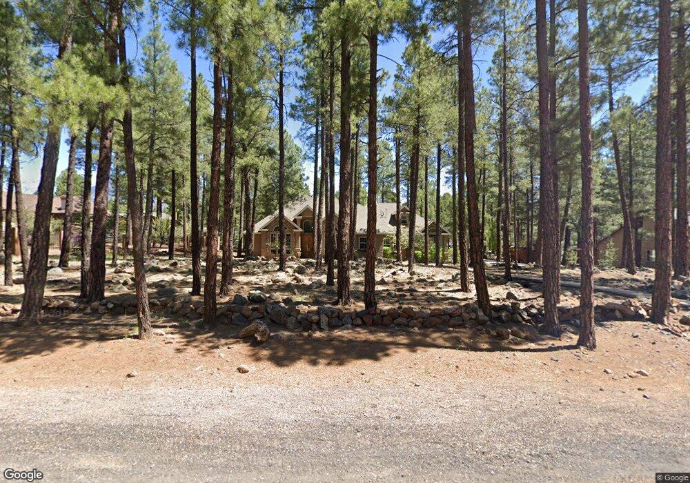
2132 N Fremont Blvd Flagstaff, AZ 86001
Lynwood NeighborhoodEstimated Value: $1,260,000 - $1,418,000
3
Beds
4
Baths
267
Sq Ft
$5,078/Sq Ft
Est. Value
About This Home
This home is located at 2132 N Fremont Blvd, Flagstaff, AZ 86001 and is currently estimated at $1,355,898, approximately $5,078 per square foot. 2132 N Fremont Blvd is a home located in Coconino County with nearby schools including Sechrist Elementary School, Flagstaff High School, and Flagstaff Junior Academy.
Ownership History
Date
Name
Owned For
Owner Type
Purchase Details
Closed on
Nov 8, 2017
Sold by
Mackesy Julie A and Mackesy Juline
Bought by
Leder David M
Current Estimated Value
Home Financials for this Owner
Home Financials are based on the most recent Mortgage that was taken out on this home.
Original Mortgage
$645,600
Outstanding Balance
$533,973
Interest Rate
3.37%
Mortgage Type
Adjustable Rate Mortgage/ARM
Estimated Equity
$821,925
Purchase Details
Closed on
Mar 1, 2011
Sold by
Mackesy Patrick Frances
Bought by
Mackesy Julie
Purchase Details
Closed on
Nov 29, 2000
Sold by
Jamison Jim and Jamison Darleen
Bought by
Mackesy Patrick F and Mackesy Julie A
Create a Home Valuation Report for This Property
The Home Valuation Report is an in-depth analysis detailing your home's value as well as a comparison with similar homes in the area
Home Values in the Area
Average Home Value in this Area
Purchase History
| Date | Buyer | Sale Price | Title Company |
|---|---|---|---|
| Leder David M | $807,000 | Pioneer Title Agency | |
| Mackesy Julie | -- | None Available | |
| Mackesy Patrick F | $125,000 | Transnation Title Insurance |
Source: Public Records
Mortgage History
| Date | Status | Borrower | Loan Amount |
|---|---|---|---|
| Open | Leder David M | $645,600 |
Source: Public Records
Tax History Compared to Growth
Tax History
| Year | Tax Paid | Tax Assessment Tax Assessment Total Assessment is a certain percentage of the fair market value that is determined by local assessors to be the total taxable value of land and additions on the property. | Land | Improvement |
|---|---|---|---|---|
| 2025 | $6,884 | $117,876 | -- | -- |
| 2024 | $6,884 | $117,654 | -- | -- |
| 2023 | $5,616 | $89,182 | $0 | $0 |
| 2022 | $5,616 | $73,474 | $0 | $0 |
| 2021 | $5,443 | $71,651 | $0 | $0 |
| 2020 | $5,275 | $67,539 | $0 | $0 |
| 2019 | $5,163 | $67,635 | $0 | $0 |
| 2018 | $5,006 | $71,497 | $0 | $0 |
| 2017 | $4,672 | $67,240 | $0 | $0 |
| 2016 | $4,644 | $62,793 | $0 | $0 |
| 2015 | $4,336 | $55,810 | $0 | $0 |
Source: Public Records
Map
Nearby Homes
- 2705 W Creighton Dr
- 3377 W Lois Ln
- 3080 W Brenda Loop
- 2630 N Eddy Dr
- 3120 W Tami Ln
- 3130 W Tina Ln
- 2615 N Fremont Blvd
- 2251 N Kramer St
- 5111 N Weatherford Rd
- 4020 Hidden Hollow Rd
- 3005 N Fort Valley Rd
- 1450 N Fort Valley Rd
- 2121 N Crescent Dr
- 2012 N Crescent Dr
- 1650 N Kittredge Rd
- Lot 1 Hattie Green Unit 1
- Lot 1 Hattie Green
- 1902 N Lynn Dr
- 0 N San Francisco St Unit 202223
- 1707 N Fort Valley Rd
- 2124 N Fremont Blvd
- 2988 N Kristin Dr
- 2976 N Kristin Dr
- 2116 N Fremont Blvd
- 2139 N Fremont Blvd
- 0 N Kristin Dr
- 2133 N Fremont Blvd
- 3000 N Kristin Dr
- 3000 N Kristin Dr Unit 81
- 2125 N Fremont Blvd
- 2108 N Fremont Blvd
- 3009 N Kristin Dr
- 2985 N Kristin Dr
- 2145 N Fremont Blvd
- 2145 N Fremont Blvd Unit 75
- 3041 N Boldt Dr
- 2973 N Kristin Dr Unit Coc
- 2997 N Kristin Dr
- 2868 N Boldt Dr