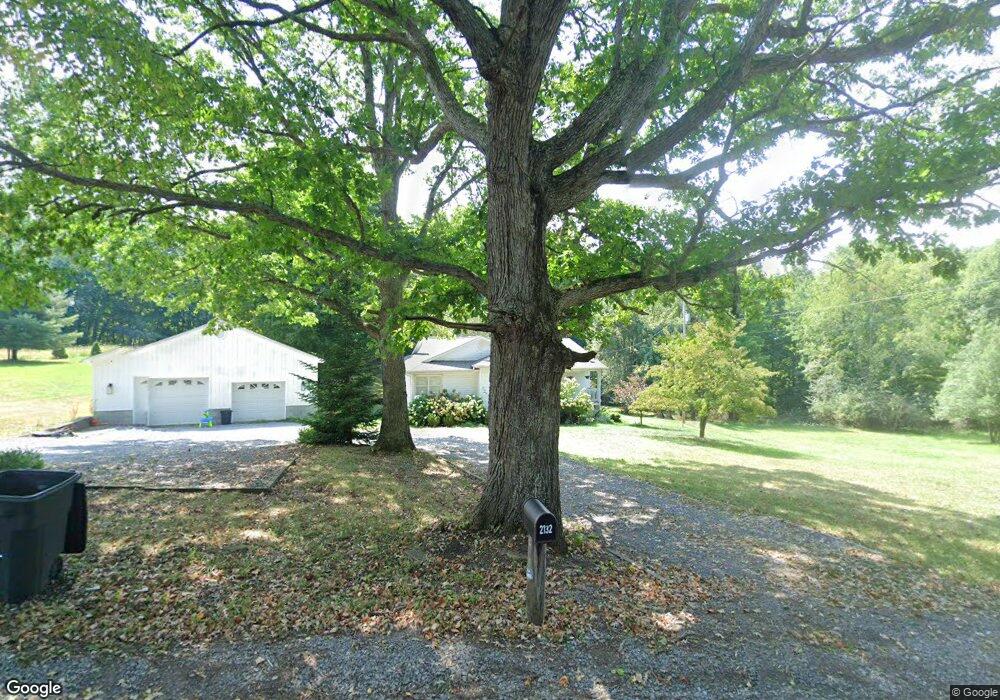
2132 Nile Rd Summersville, WV 26651
Estimated Value: $160,350 - $319,000
3
Beds
2
Baths
1,288
Sq Ft
$168/Sq Ft
Est. Value
About This Home
This home is located at 2132 Nile Rd, Summersville, WV 26651 and is currently estimated at $216,088, approximately $167 per square foot. 2132 Nile Rd is a home located in Nicholas County with nearby schools including Glade Creek Elementary School, Summersville Middle School, and Nicholas County High School.
Ownership History
Date
Name
Owned For
Owner Type
Purchase Details
Closed on
Jul 1, 2022
Sold by
Sisson Mikael A
Bought by
Peterson Thomas L and Peterson Daisy E
Current Estimated Value
Home Financials for this Owner
Home Financials are based on the most recent Mortgage that was taken out on this home.
Original Mortgage
$212,000
Outstanding Balance
$201,104
Interest Rate
5.09%
Mortgage Type
New Conventional
Estimated Equity
$14,984
Create a Home Valuation Report for This Property
The Home Valuation Report is an in-depth analysis detailing your home's value as well as a comparison with similar homes in the area
Home Values in the Area
Average Home Value in this Area
Purchase History
| Date | Buyer | Sale Price | Title Company |
|---|---|---|---|
| Peterson Thomas L | $1,817 | None Listed On Document | |
| Peterson Thomas L | $1,817 | None Listed On Document |
Source: Public Records
Mortgage History
| Date | Status | Borrower | Loan Amount |
|---|---|---|---|
| Open | Peterson Thomas L | $212,000 | |
| Closed | Peterson Thomas L | $212,000 |
Source: Public Records
Tax History Compared to Growth
Tax History
| Year | Tax Paid | Tax Assessment Tax Assessment Total Assessment is a certain percentage of the fair market value that is determined by local assessors to be the total taxable value of land and additions on the property. | Land | Improvement |
|---|---|---|---|---|
| 2025 | $541 | $55,140 | $9,300 | $45,840 |
| 2024 | $541 | $55,320 | $9,300 | $46,020 |
| 2023 | $543 | $53,880 | $9,300 | $44,580 |
| 2022 | $514 | $52,320 | $9,300 | $43,020 |
| 2021 | $518 | $52,800 | $9,300 | $43,500 |
| 2020 | $521 | $53,100 | $9,120 | $43,980 |
| 2019 | $523 | $53,280 | $8,880 | $44,400 |
| 2018 | $518 | $52,740 | $8,880 | $43,860 |
| 2017 | $521 | $53,040 | $8,520 | $44,520 |
| 2016 | $506 | $51,540 | $8,520 | $43,020 |
| 2015 | $472 | $49,980 | $8,100 | $41,880 |
| 2014 | $453 | $47,940 | $7,620 | $40,320 |
Source: Public Records
Map
Nearby Homes
- 344 Deer Creek Cir
- 61 Deer Creek Dr Unit 61
- 32 Penny Ln Unit 32
- 9152 W Webster Rd Unit 9152
- 139 Timber Valley Rd Unit 139
- 7 Circle Dr Unit 7
- 90 Black Oak Rd
- 7505 Canvas Nettie Rd Unit 7505
- 14027 W Webster Rd Unit 14027
- 112 Bozarth Ln Unit 112
- 128 Bozarth Ln Unit 128
- 470 Ritchie Farm Rd Unit 470
- 108 Ash St
- 386 Clarissa Dr
- 300 Wal St Unit 300
- 307 Fairview Heights Rd
- 433 Ashley Ln
- 800 Margaret St Unit 800
- 350 Starbuck Rd
- 1806 Webster Rd