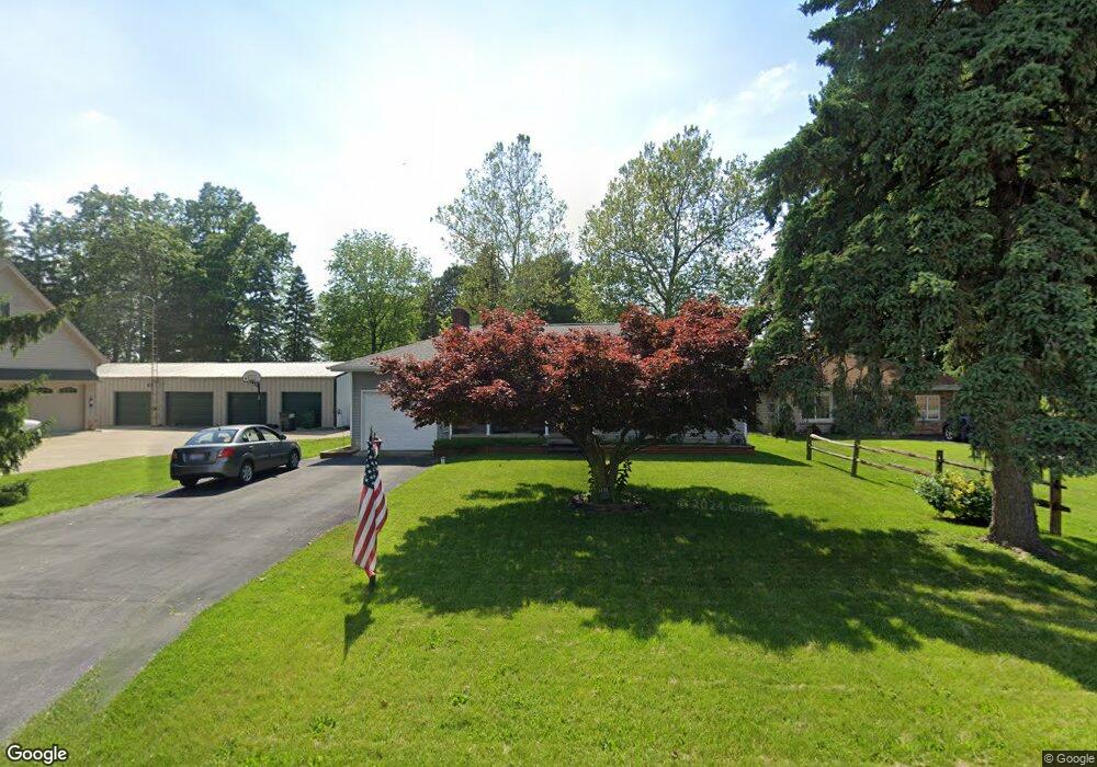
2132 Port Clinton Rd Fremont, OH 43420
Estimated Value: $176,000 - $205,000
2
Beds
2
Baths
1,499
Sq Ft
$129/Sq Ft
Est. Value
About This Home
This home is located at 2132 Port Clinton Rd, Fremont, OH 43420 and is currently estimated at $193,963, approximately $129 per square foot. 2132 Port Clinton Rd is a home located in Sandusky County with nearby schools including Fremont Ross High School, St. Ann Catholic School, and Bishop Hoffman Catholic School - This is St Joe's School now.
Ownership History
Date
Name
Owned For
Owner Type
Purchase Details
Closed on
Jun 9, 2017
Sold by
Neugent Michael A and Neugent Heather F
Bought by
Fisher Nicholas A
Current Estimated Value
Home Financials for this Owner
Home Financials are based on the most recent Mortgage that was taken out on this home.
Original Mortgage
$124,747
Outstanding Balance
$103,792
Interest Rate
4.03%
Mortgage Type
FHA
Estimated Equity
$90,171
Purchase Details
Closed on
Oct 19, 2006
Sold by
Pettiford John E and Skeaton Gretchen
Bought by
Neugent Michael A
Home Financials for this Owner
Home Financials are based on the most recent Mortgage that was taken out on this home.
Original Mortgage
$85,226
Interest Rate
6.5%
Mortgage Type
FHA
Purchase Details
Closed on
Oct 10, 2006
Sold by
Estate Of Lois Wilson Pettiford
Bought by
Pettiford John W and Skeaton Gretchen
Home Financials for this Owner
Home Financials are based on the most recent Mortgage that was taken out on this home.
Original Mortgage
$85,226
Interest Rate
6.5%
Mortgage Type
FHA
Create a Home Valuation Report for This Property
The Home Valuation Report is an in-depth analysis detailing your home's value as well as a comparison with similar homes in the area
Home Values in the Area
Average Home Value in this Area
Purchase History
| Date | Buyer | Sale Price | Title Company |
|---|---|---|---|
| Fisher Nicholas A | $123,500 | Attorney | |
| Neugent Michael A | $64,425 | First American | |
| Pettiford John W | -- | First American |
Source: Public Records
Mortgage History
| Date | Status | Borrower | Loan Amount |
|---|---|---|---|
| Open | Fisher Nicholas A | $124,747 | |
| Previous Owner | Neugent Michael A | $85,226 |
Source: Public Records
Tax History Compared to Growth
Tax History
| Year | Tax Paid | Tax Assessment Tax Assessment Total Assessment is a certain percentage of the fair market value that is determined by local assessors to be the total taxable value of land and additions on the property. | Land | Improvement |
|---|---|---|---|---|
| 2024 | $1,916 | $50,830 | $9,210 | $41,620 |
| 2023 | $1,916 | $40,640 | $7,350 | $33,290 |
| 2022 | $1,628 | $40,640 | $7,350 | $33,290 |
| 2021 | $2,086 | $40,640 | $7,350 | $33,290 |
| 2020 | $2,042 | $38,920 | $7,350 | $31,570 |
| 2019 | $1,782 | $32,060 | $7,350 | $24,710 |
| 2018 | $1,784 | $32,060 | $7,350 | $24,710 |
| 2017 | $1,695 | $29,820 | $7,350 | $22,470 |
| 2016 | $2,804 | $29,820 | $7,350 | $22,470 |
| 2015 | $2,767 | $29,820 | $7,350 | $22,470 |
| 2014 | $2,798 | $29,510 | $9,730 | $19,780 |
| 2013 | $2,732 | $29,510 | $9,730 | $19,780 |
Source: Public Records
Map
Nearby Homes
- 0 Sean Dr
- Outlot A Sean Dr
- 1730 Port Clinton Rd Unit 41
- 1730 Port Clinton Rd
- 1730 Port Clinton Rd Unit 33
- 711 Bloom Rd
- 2100 Ohio 53
- 1441 White Ave
- 900 Spring St
- 2219 Oak Harbor Rd
- 1227 White Ave
- 711 Rawson Ave
- 612 2nd St
- 533 Sandusky Ave Unit 535
- 1548 North St
- 433 Sandusky Ave
- 1707 North St
- 1720 North St
- 818 Franklin Ave
- 516 N Front St
- 2136 Port Clinton Rd
- 2144 Port Clinton Rd
- 2200 Port Clinton Rd
- 2124 Port Clinton Rd
- 2222 Port Clinton Rd
- 2224 Port Clinton Rd
- 2042 Port Clinton Rd
- 2234 Port Clinton Rd
- 2233 Glenn Dr
- 2242 Port Clinton Rd
- 2234 Glenn Dr
- 2252 Port Clinton Rd
- 2248 Glenn Dr
- 2301 Glenn Dr
- 442 Kingsgate Dr
- 450 Kingsgate Dr
- 2306 Port Clinton Rd
- 432 Kingsgate Dr
- 460 Kingsgate Dr
- 2302 Glenn Dr