2133 47th Ave Baldwin, WI 54002
Estimated Value: $423,000 - $545,000
3
Beds
2
Baths
3,111
Sq Ft
$154/Sq Ft
Est. Value
About This Home
This home is located at 2133 47th Ave, Baldwin, WI 54002 and is currently estimated at $479,769, approximately $154 per square foot. 2133 47th Ave is a home located in St. Croix County with nearby schools including Greenfield Elementary School, Viking Middle School, and Baldwin-Woodville High School.
Ownership History
Date
Name
Owned For
Owner Type
Purchase Details
Closed on
May 7, 2021
Sold by
Fussy Jeremy and Fussy Melissa
Bought by
Nelson Turkey Farm Inc
Current Estimated Value
Purchase Details
Closed on
Jun 21, 2011
Sold by
Malvin Linda J
Bought by
Fussy Jeremy and Fussy Melissa
Home Financials for this Owner
Home Financials are based on the most recent Mortgage that was taken out on this home.
Original Mortgage
$229,042
Interest Rate
4.5%
Mortgage Type
FHA
Purchase Details
Closed on
Jun 13, 2008
Sold by
Nelson Jeffrey M and Nelson Karen
Bought by
Malvin Linda J
Home Financials for this Owner
Home Financials are based on the most recent Mortgage that was taken out on this home.
Original Mortgage
$229,900
Interest Rate
6.09%
Mortgage Type
Purchase Money Mortgage
Create a Home Valuation Report for This Property
The Home Valuation Report is an in-depth analysis detailing your home's value as well as a comparison with similar homes in the area
Home Values in the Area
Average Home Value in this Area
Purchase History
| Date | Buyer | Sale Price | Title Company |
|---|---|---|---|
| Nelson Turkey Farm Inc | $392,000 | St Croix County Abstract & T | |
| Fussy Jeremy | $235,000 | Key Title | |
| Malvin Linda J | $242,000 | River Valley Abstract & Titl |
Source: Public Records
Mortgage History
| Date | Status | Borrower | Loan Amount |
|---|---|---|---|
| Previous Owner | Fussy Jeremy | $229,042 | |
| Previous Owner | Malvin Linda J | $229,900 |
Source: Public Records
Tax History
| Year | Tax Paid | Tax Assessment Tax Assessment Total Assessment is a certain percentage of the fair market value that is determined by local assessors to be the total taxable value of land and additions on the property. | Land | Improvement |
|---|---|---|---|---|
| 2025 | $3,877 | $419,000 | $65,800 | $353,200 |
| 2024 | $37 | $246,600 | $38,100 | $208,500 |
| 2023 | $3,734 | $246,600 | $38,100 | $208,500 |
| 2022 | $3,350 | $246,600 | $38,100 | $208,500 |
| 2021 | $3,778 | $246,600 | $38,100 | $208,500 |
| 2020 | $3,587 | $246,600 | $38,100 | $208,500 |
| 2019 | $3,449 | $246,600 | $38,100 | $208,500 |
| 2018 | $3,308 | $246,600 | $38,100 | $208,500 |
| 2017 | $3,430 | $246,600 | $38,100 | $208,500 |
| 2016 | $3,430 | $246,600 | $38,100 | $208,500 |
| 2015 | $3,381 | $255,700 | $42,500 | $213,200 |
| 2014 | $3,144 | $255,700 | $42,500 | $213,200 |
| 2013 | $3,266 | $255,200 | $42,500 | $212,700 |
Source: Public Records
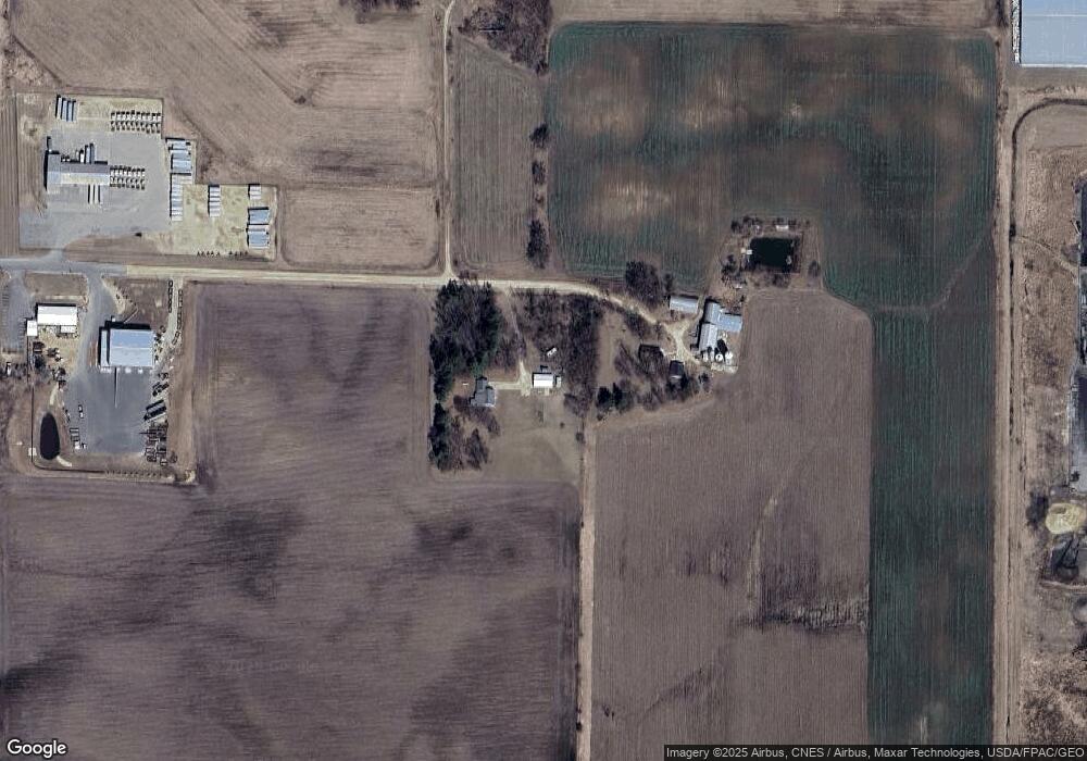
Map
Nearby Homes
- 2111 55th Ave
- 2081 60th Ave
- 1710 Amsterdam St
- 330 Meadowview Ct
- 300 Cedar St Unit 15
- 384 Cedar St
- 1724 Redhead Ave
- xxx 11th Ave
- 316 Birch St
- 288 Birch St
- 313 Birch St
- 1586 Mallard Ave
- 1621 Mallard Ave
- 1632 Mallard Ave
- 1629 Mallard Ave
- 1617 Mallard Ave
- 199 Wood Duck Ln
- 233 Pintail St
- 320 Bluebill St
- 183 Pintail St
- Lot 19 47th Ave
- 2141 47th Ave
- 2106 47th Ave
- 489 213th St
- 2107 47th Ave
- 472 Us Highway 63
- 449 Us Highway 63
- Lot 3 Energy St
- Lot 1 Energy St
- 785 Energy St
- 725 Energy St
- 780 Energy St
- 450 Us Highway 63
- 505 Us Highway 63
- 955 Energy St
- 2500 Alreich Ave
- 975 Energy St
- 795 Energy St
- Lot 5 Energy St
- Lot 6 Energy St
Your Personal Tour Guide
Ask me questions while you tour the home.