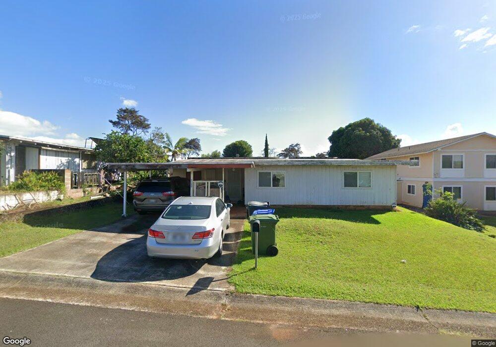
2133 Aluka Loop Pearl City, HI 96782
Estimated Value: $898,000 - $984,000
2
Beds
2
Baths
1,393
Sq Ft
$678/Sq Ft
Est. Value
About This Home
This home is located at 2133 Aluka Loop, Pearl City, HI 96782 and is currently estimated at $944,619, approximately $678 per square foot. 2133 Aluka Loop is a home located in Honolulu County with nearby schools including Palisades Elementary School, Highlands Intermediate School, and Pearl City High School.
Ownership History
Date
Name
Owned For
Owner Type
Purchase Details
Closed on
Aug 18, 2005
Sold by
Shamoto Scott Masaharu
Bought by
Shamoto Scott Masaharu and Shamoto Hiromi
Current Estimated Value
Purchase Details
Closed on
Apr 19, 2005
Sold by
Kurimoto Kojiro and Kurimoto Hatsuko
Bought by
Shamoto Scott Masaharu
Home Financials for this Owner
Home Financials are based on the most recent Mortgage that was taken out on this home.
Original Mortgage
$160,000
Outstanding Balance
$83,850
Interest Rate
6.02%
Mortgage Type
Fannie Mae Freddie Mac
Estimated Equity
$860,769
Purchase Details
Closed on
Sep 13, 2001
Sold by
Mori Masahiro and Kurimoto Kojiro
Bought by
Iwakura International Inc
Purchase Details
Closed on
Sep 11, 2001
Sold by
Iwakura International Inc
Bought by
Kurimoto Kojiro and Kurimoto Hatsuko
Create a Home Valuation Report for This Property
The Home Valuation Report is an in-depth analysis detailing your home's value as well as a comparison with similar homes in the area
Home Values in the Area
Average Home Value in this Area
Purchase History
| Date | Buyer | Sale Price | Title Company |
|---|---|---|---|
| Shamoto Scott Masaharu | -- | Fhtc | |
| Shamoto Scott Masaharu | $200,000 | Fhtc | |
| Iwakura International Inc | -- | -- | |
| Kurimoto Kojiro | $200,000 | -- |
Source: Public Records
Mortgage History
| Date | Status | Borrower | Loan Amount |
|---|---|---|---|
| Open | Shamoto Scott Masaharu | $160,000 | |
| Closed | Shamoto Scott Masaharu | $40,000 |
Source: Public Records
Tax History Compared to Growth
Tax History
| Year | Tax Paid | Tax Assessment Tax Assessment Total Assessment is a certain percentage of the fair market value that is determined by local assessors to be the total taxable value of land and additions on the property. | Land | Improvement |
|---|---|---|---|---|
| 2025 | $2,678 | $858,800 | $750,300 | $108,500 |
| 2024 | $2,678 | $885,100 | $777,100 | $108,000 |
| 2023 | $2,464 | $904,100 | $777,100 | $127,000 |
| 2022 | $2,504 | $815,400 | $696,700 | $118,700 |
| 2021 | $2,083 | $695,100 | $589,500 | $105,600 |
| 2020 | $2,219 | $734,100 | $610,900 | $123,200 |
| 2019 | $2,264 | $726,900 | $589,500 | $137,400 |
| 2018 | $2,158 | $696,600 | $584,100 | $112,500 |
| 2017 | $1,961 | $640,200 | $503,800 | $136,400 |
| 2016 | $1,773 | $586,500 | $450,200 | $136,300 |
| 2015 | $1,706 | $567,500 | $412,600 | $154,900 |
| 2014 | $1,421 | $570,500 | $375,100 | $195,400 |
Source: Public Records
Map
Nearby Homes
- 2131 Auhuhu St
- 2078 Akaikai Loop
- 2093 Aaniu Loop
- 2160 Aamanu St
- 2217 Apoepoe St
- 2222 Apoepoe St
- 2274 Aamanu St
- 2306 Komo Mai Dr
- 2310 Apoepoe St
- 1768 Hoohai St
- 2532 Akepa St
- 1858 Hoolehua St
- 1638 Makamua St
- 1375 Komo Mai Dr
- 999 Hoomoana St
- 98-1796 Kaahumanu St Unit 61D
- 1579 Hoonipo St
- 98-1819 Kaahumanu St Unit 78B
- 910 Makamua Place
- 98-1739 Kaahumanu St Unit 35C
- 2129 Aluka Loop
- 2135 Aluka Loop
- 2112 Komo Mai Dr
- 2116 Komo Mai Dr
- 2110 Komo Mai Dr
- 2121 Aluka Loop
- 2118 Komo Mai Dr
- 2117 Aluka Loop
- 2130 Aluka Loop
- 2136 Aluka Loop
- 2106 Komo Mai Dr
- 2128 Aluka Loop
- 2113 Aluka Loop
- 2126 Aluka Loop
- 2138 Aluka Loop
- 2122 Aluka Loop
- 2113 Komo Mai Dr
- 2109 Aluka Loop
- 2120 Aluka Loop
- 2142 Aluka Loop