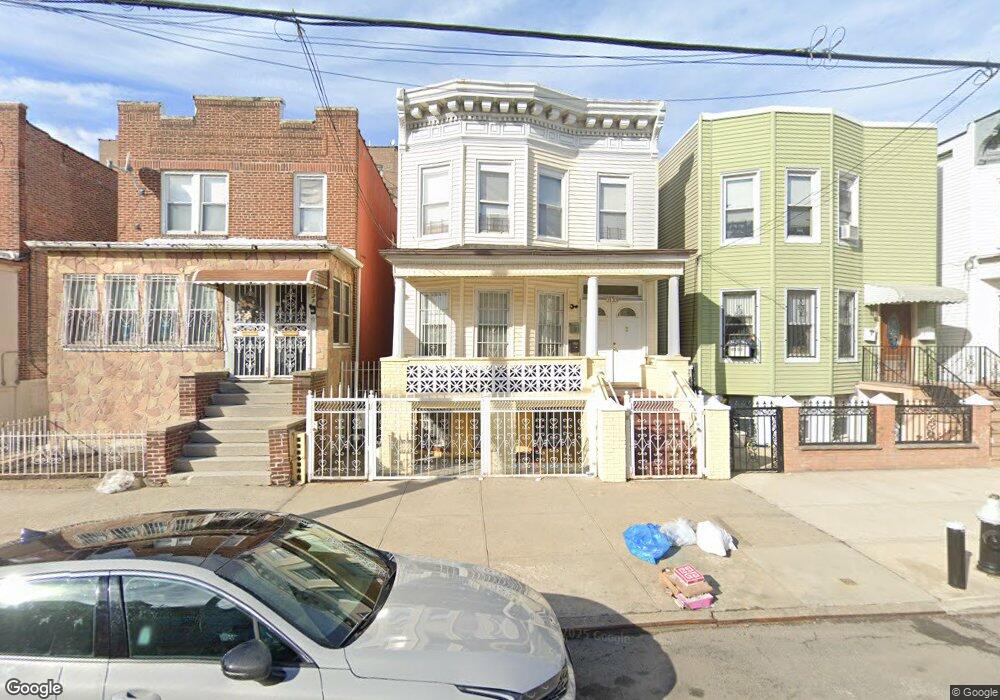
2133 Gleason Ave Bronx, NY 10462
Unionport NeighborhoodEstimated Value: $927,000 - $1,112,000
--
Bed
--
Bath
2,450
Sq Ft
$412/Sq Ft
Est. Value
About This Home
This home is located at 2133 Gleason Ave, Bronx, NY 10462 and is currently estimated at $1,008,667, approximately $411 per square foot. 2133 Gleason Ave is a home located in Bronx County with nearby schools including P.S. 36 Unionport, Herbert H Lehman High School, and St Helena School.
Ownership History
Date
Name
Owned For
Owner Type
Purchase Details
Closed on
Mar 31, 1998
Sold by
Rf Properties Corp
Bought by
Aviles Wendy and Aviles Evan Charles
Current Estimated Value
Home Financials for this Owner
Home Financials are based on the most recent Mortgage that was taken out on this home.
Original Mortgage
$244,888
Interest Rate
6.99%
Mortgage Type
FHA
Purchase Details
Closed on
Dec 3, 1996
Sold by
Federal Home Loan Mortgage Corporation
Bought by
Rf Properties Corp
Create a Home Valuation Report for This Property
The Home Valuation Report is an in-depth analysis detailing your home's value as well as a comparison with similar homes in the area
Home Values in the Area
Average Home Value in this Area
Purchase History
| Date | Buyer | Sale Price | Title Company |
|---|---|---|---|
| Aviles Wendy | $248,000 | -- | |
| Rf Properties Corp | $136,500 | First American Title Ins Co |
Source: Public Records
Mortgage History
| Date | Status | Borrower | Loan Amount |
|---|---|---|---|
| Previous Owner | Aviles Wendy | $244,888 |
Source: Public Records
Tax History Compared to Growth
Tax History
| Year | Tax Paid | Tax Assessment Tax Assessment Total Assessment is a certain percentage of the fair market value that is determined by local assessors to be the total taxable value of land and additions on the property. | Land | Improvement |
|---|---|---|---|---|
| 2025 | $5,591 | $30,954 | $4,045 | $26,909 |
| 2024 | $5,591 | $29,237 | $4,322 | $24,915 |
| 2023 | $5,653 | $29,237 | $4,462 | $24,775 |
| 2022 | $5,492 | $49,020 | $7,920 | $41,100 |
| 2021 | $5,450 | $39,780 | $7,920 | $31,860 |
| 2020 | $5,164 | $42,600 | $7,920 | $34,680 |
| 2019 | $4,804 | $34,320 | $7,920 | $26,400 |
| 2018 | $4,669 | $24,364 | $5,342 | $19,022 |
| 2017 | $4,618 | $24,124 | $5,290 | $18,834 |
| 2016 | $4,244 | $22,780 | $5,771 | $17,009 |
| 2015 | $2,525 | $21,496 | $6,884 | $14,612 |
| 2014 | $2,525 | $20,304 | $7,089 | $13,215 |
Source: Public Records
Map
Nearby Homes
- 2131 Newbold Ave
- 2209 Ellis Ave
- 2164 Cross Bronx Expy
- 1163 Havemeyer Ave
- 2016 Haviland Ave
- 1218 Havemeyer Ave
- 2055 Mcgraw Ave Unit 4G
- 1428 Doris St
- 2328 Ellis Ave
- 2049 Mcgraw Ave Unit 6H
- 2131 Bruckner Blvd
- 2343 Gleason Ave
- 1955 Haviland Ave
- 1521 Unionport Rd Unit 11G
- 1966 Newbold Ave Unit 108
- 1966 Newbold Ave Unit 1510
- 1966 Newbold Ave Unit 308
- 1966 Newbold Ave Unit 405
- 1966 Newbold Ave Unit 104
- 2354 Waterbury Ave
- 2131 Gleason Ave
- 2135 Gleason Ave
- 2137 Gleason Ave
- 2129 Gleason Ave
- 2139 Gleason Ave
- 2123 Gleason Ave
- 2141 Gleason Ave
- 2132 Ellis Ave
- 2134 Ellis Ave
- 2136 Ellis Ave
- 2124 Ellis Ave
- 2143 Gleason Ave
- 2138 Ellis Ave
- 2115 Gleason Ave
- 2140 Ellis Ave
- 2147 Gleason Ave
- 2132 Gleason Ave
- 2134 Gleason Ave
- 2115 Cross Bronx Expy
- 2142 Ellis Ave