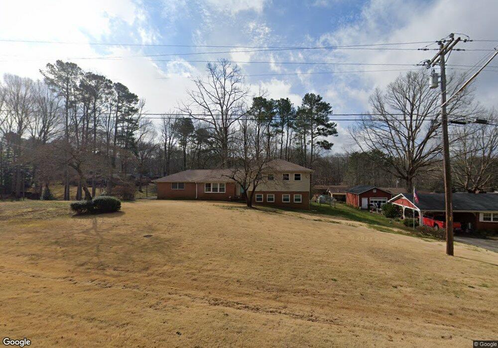
2133 Mcduffie Rd Unit 4 Austell, GA 30106
Estimated Value: $274,000 - $361,000
3
Beds
3
Baths
1,292
Sq Ft
$249/Sq Ft
Est. Value
About This Home
This home is located at 2133 Mcduffie Rd Unit 4, Austell, GA 30106 and is currently estimated at $321,196, approximately $248 per square foot. 2133 Mcduffie Rd Unit 4 is a home located in Cobb County with nearby schools including Clarkdale Elementary School, Garrett Middle School, and South Cobb High School.
Ownership History
Date
Name
Owned For
Owner Type
Purchase Details
Closed on
Mar 22, 2007
Sold by
Mcdaniel Karen W
Bought by
Bonilla Araceli
Current Estimated Value
Home Financials for this Owner
Home Financials are based on the most recent Mortgage that was taken out on this home.
Original Mortgage
$176,500
Outstanding Balance
$105,657
Interest Rate
6.15%
Mortgage Type
New Conventional
Estimated Equity
$215,539
Purchase Details
Closed on
Jul 7, 2001
Sold by
Watkins Robert
Bought by
Mcdaniel Karen W
Create a Home Valuation Report for This Property
The Home Valuation Report is an in-depth analysis detailing your home's value as well as a comparison with similar homes in the area
Home Values in the Area
Average Home Value in this Area
Purchase History
| Date | Buyer | Sale Price | Title Company |
|---|---|---|---|
| Bonilla Araceli | $176,500 | -- | |
| Mcdaniel Karen W | $97,000 | -- |
Source: Public Records
Mortgage History
| Date | Status | Borrower | Loan Amount |
|---|---|---|---|
| Open | Bonilla Araceli | $176,500 |
Source: Public Records
Tax History
| Year | Tax Paid | Tax Assessment Tax Assessment Total Assessment is a certain percentage of the fair market value that is determined by local assessors to be the total taxable value of land and additions on the property. | Land | Improvement |
|---|---|---|---|---|
| 2025 | $2,487 | $106,812 | $24,000 | $82,812 |
| 2024 | $2,489 | $106,812 | $24,000 | $82,812 |
| 2023 | $1,923 | $105,740 | $14,000 | $91,740 |
Source: Public Records
Map
Nearby Homes
- 2110 Plum Ln
- 2034 Drennon Ave
- 4420 Pink Rose Ct
- 2085 Lenoa Ln
- 2083 Lenoa Ln
- 2081 Lenoa Ln
- 4630 Hemlock Dr
- 2013 Chesley Dr
- 2349 Shire Ct
- 4349 Kousa Rd Unit 4
- 2373 Buckley Ct
- 1951 Bay Beauty Ln Unit 10
- 4287 Keats Ct
- 1809 Elmwood Dr
- 1808 Elmwood Dr
- 4809 Hemlock Dr
- 4688 Bennett St
- 4390 Chelou Dr
- 1741 Seayes Rd
- 4814 Clove Dr SW
- 2145 Mcduffie Rd
- 2100 Plum Ln
- 2109 Mcduffie Rd
- 4500 Sparrowhawk Place
- 4541 Hemlock Dr
- 2161 Mcduffie Rd Unit 4
- 4490 Sparrowhawk Place SW
- 2120 Plum Ln Unit 5
- 4505 Sparrowhawk Place SW
- 4505 Sparrowhawk Place
- 2101 Plum Ln Unit 2101
- 2101 Plum Ln Unit 5
- 2101 Plum Ln
- 4480 Sparrowhawk Place
- 4551 Hemlock Dr
- 2111 Plum Ln Unit 5
- 2175 Mcduffie Rd
- 2093 Mcduffie Rd
- 2115 Sparrowhawk Ct
- 2130 Plum Ln
Your Personal Tour Guide
Ask me questions while you tour the home.