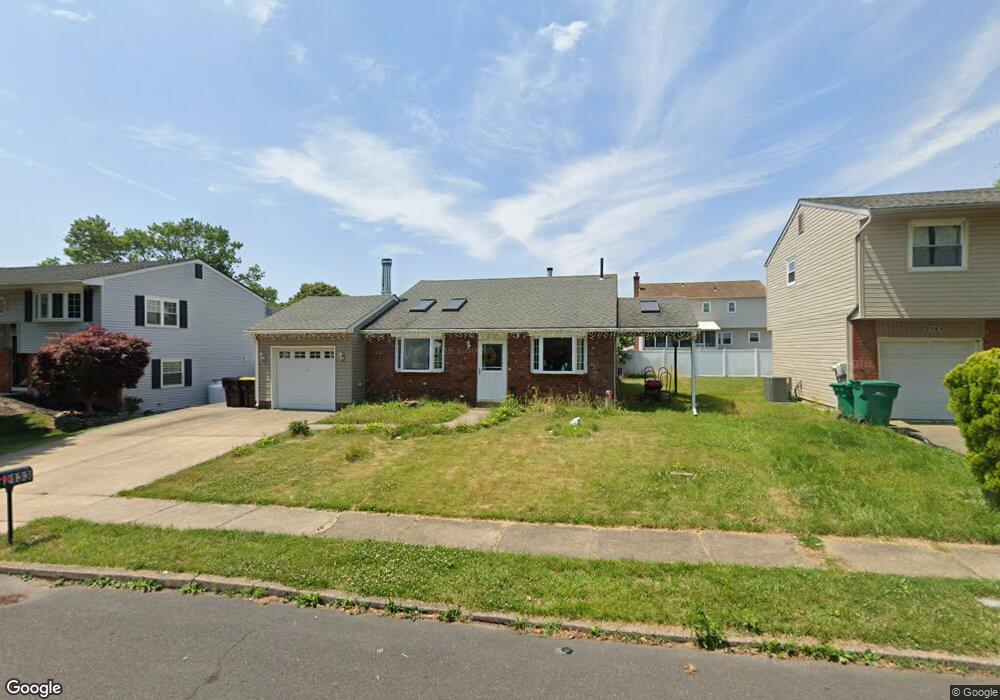
2133 Philip Dr Bensalem, PA 19020
Estimated Value: $343,000 - $383,000
3
Beds
1
Bath
1,008
Sq Ft
$357/Sq Ft
Est. Value
About This Home
This home is located at 2133 Philip Dr, Bensalem, PA 19020 and is currently estimated at $359,969, approximately $357 per square foot. 2133 Philip Dr is a home located in Bucks County with nearby schools including Benjamin Rush El School, St. Ephrem School, and Bensalem Baptist School.
Ownership History
Date
Name
Owned For
Owner Type
Purchase Details
Closed on
Jan 5, 2022
Sold by
Wilson Bruce R
Bought by
Applegate Alexander James
Current Estimated Value
Home Financials for this Owner
Home Financials are based on the most recent Mortgage that was taken out on this home.
Original Mortgage
$270,019
Outstanding Balance
$248,856
Interest Rate
3.11%
Mortgage Type
FHA
Estimated Equity
$111,113
Purchase Details
Closed on
Nov 13, 1989
Sold by
Buch
Bought by
Wilson Bruce R and 4831 Lower Mountain Rd
Create a Home Valuation Report for This Property
The Home Valuation Report is an in-depth analysis detailing your home's value as well as a comparison with similar homes in the area
Home Values in the Area
Average Home Value in this Area
Purchase History
| Date | Buyer | Sale Price | Title Company |
|---|---|---|---|
| Applegate Alexander James | $275,000 | Title Services | |
| Wilson Bruce R | $117,000 | -- |
Source: Public Records
Mortgage History
| Date | Status | Borrower | Loan Amount |
|---|---|---|---|
| Open | Applegate Alexander James | $270,019 |
Source: Public Records
Tax History Compared to Growth
Tax History
| Year | Tax Paid | Tax Assessment Tax Assessment Total Assessment is a certain percentage of the fair market value that is determined by local assessors to be the total taxable value of land and additions on the property. | Land | Improvement |
|---|---|---|---|---|
| 2025 | $4,497 | $20,600 | $4,640 | $15,960 |
| 2024 | $4,497 | $20,600 | $4,640 | $15,960 |
| 2023 | $4,370 | $20,600 | $4,640 | $15,960 |
| 2022 | $4,345 | $20,600 | $4,640 | $15,960 |
| 2021 | $4,345 | $20,600 | $4,640 | $15,960 |
| 2020 | $4,301 | $20,600 | $4,640 | $15,960 |
| 2019 | $4,205 | $20,600 | $4,640 | $15,960 |
| 2018 | $4,107 | $20,600 | $4,640 | $15,960 |
| 2017 | $4,082 | $20,600 | $4,640 | $15,960 |
| 2016 | $4,082 | $20,600 | $4,640 | $15,960 |
| 2015 | -- | $20,600 | $4,640 | $15,960 |
| 2014 | -- | $20,600 | $4,640 | $15,960 |
Source: Public Records
Map
Nearby Homes
- Lot 7 Galloway Rd
- Lot 6 Galloway Rd
- LOT 1 Edward Ct
- Lot 4 Edward Ct
- 3755 Mechanicsville Rd
- 4122 Mechanicsville Rd
- Lot 3 Edward Ct
- Lot 2 Edward Ct
- 3752 Mechanicsville Rd
- Lot 5 Edward Ct
- 1839 Byberry Rd
- 1881 Byberry Rd
- 5057 Sayer Ct
- 5111 Euston Ct
- 120 Liberty Dr Unit 120
- 66 Freedom Ln Unit 66
- 1440 Atterbury Way
- 1852 Gibson Rd Unit 58
- 1790 Gibson Rd Unit 69
- 1446 Gibson Rd Unit D50
- 2141 Philip Dr
- 2125 Philip Dr
- 2118 Lillian Dr
- 2126 Lillian Dr
- 2149 Philip Dr
- 2117 Philip Dr
- 2110 Lillian Dr
- 2132 Philip Dr
- 2134 Lillian Dr
- 2124 Philip Dr
- 2140 Philip Dr
- 2116 Philip Dr
- 4362 Remo Crescent Rd
- 2148 Philip Dr
- 2102 Lillian Dr
- 2142 Lillian Dr
- 2165 Philip Dr
- 2156 Philip Dr
- 2131 Joshua Dr
- 2123 Joshua Dr