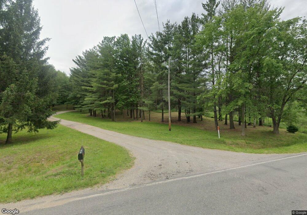
2133 W Bennington Rd Owosso, MI 48867
Estimated Value: $134,946 - $260,000
--
Bed
--
Bath
--
Sq Ft
6.6
Acres
About This Home
This home is located at 2133 W Bennington Rd, Owosso, MI 48867 and is currently estimated at $197,473. 2133 W Bennington Rd is a home located in Shiawassee County with nearby schools including Morrice Area Elementary School, Morrice Area High School, and Owosso Christian School.
Ownership History
Date
Name
Owned For
Owner Type
Purchase Details
Closed on
Oct 6, 2020
Sold by
Hardaker Robert L and Hardaker Marcia A
Bought by
Steiger Andrew R and Steiger Amanda M
Current Estimated Value
Purchase Details
Closed on
Sep 23, 2003
Sold by
Huff Carleton H
Bought by
Steiger Andrew R and Steiger Amanda M
Home Financials for this Owner
Home Financials are based on the most recent Mortgage that was taken out on this home.
Original Mortgage
$53,550
Interest Rate
6.33%
Mortgage Type
Credit Line Revolving
Create a Home Valuation Report for This Property
The Home Valuation Report is an in-depth analysis detailing your home's value as well as a comparison with similar homes in the area
Home Values in the Area
Average Home Value in this Area
Purchase History
| Date | Buyer | Sale Price | Title Company |
|---|---|---|---|
| Steiger Andrew R | $445,000 | Ata National Title Group Llc | |
| Steiger Andrew R | $62,000 | -- |
Source: Public Records
Mortgage History
| Date | Status | Borrower | Loan Amount |
|---|---|---|---|
| Previous Owner | Steiger Andrew R | $53,550 |
Source: Public Records
Tax History Compared to Growth
Tax History
| Year | Tax Paid | Tax Assessment Tax Assessment Total Assessment is a certain percentage of the fair market value that is determined by local assessors to be the total taxable value of land and additions on the property. | Land | Improvement |
|---|---|---|---|---|
| 2025 | -- | $0 | $0 | $0 |
| 2024 | -- | $0 | $0 | $0 |
| 2023 | $0 | $0 | $0 | $0 |
| 2022 | $0 | $0 | $0 | $0 |
| 2021 | $2,145 | $0 | $0 | $0 |
| 2020 | $2,167 | $95,000 | $0 | $0 |
| 2019 | $2,117 | $81,700 | $0 | $0 |
| 2018 | $2,076 | $78,700 | $0 | $0 |
| 2017 | $1,993 | $73,200 | $0 | $0 |
| 2016 | -- | $73,200 | $0 | $0 |
| 2015 | -- | $68,900 | $0 | $0 |
| 2014 | $8 | $65,900 | $0 | $0 |
Source: Public Records
Map
Nearby Homes
- 2377 W Bennington Rd
- 4650 Waugh Rd
- 4458 S M 52
- V/L Morrice Rd Rd
- 2560 S Morrice Rd
- 2628 W Brewer Rd
- 8 Bennington Greens Dr
- 2419 S Morrice Rd
- 2973 W Brewer Rd
- 539 W Wildwood Dr
- 0 Gale Rd Unit 50124635
- 1627 Michigan 52
- 1560 S M 52
- 4764 W Hibbard Rd
- 1510 S Chipman St
- V/L W South St
- 1610 W South St
- 1434 S Pearce St
- 25 Bennington Greens Dr
- 26 Bennington Greens Dr Unit 26
- 2121 W Bennington Rd
- 1909 W Bennington Rd
- 1901 W Bennington Rd
- 4112 Waugh Rd
- 1980 W Bennington Rd
- 1890 W Bennington Rd
- 2050 W Bennington Rd Unit 397
- 2050 W Bennington Rd
- 4168 Waugh Rd
- 2400 W Bennington Rd
- 1780 W Bennington Rd
- 2425 W Bennington Rd
- 2425 W Bennington Rd
- 4097 Waugh Rd
- 4324 Waugh Rd
- 6764 W Bennington Rd
- 2475 W Bennington Rd
- 2475 W Bennington Rd
- 4462 Waugh Rd
- 2507 W Bennington Rd