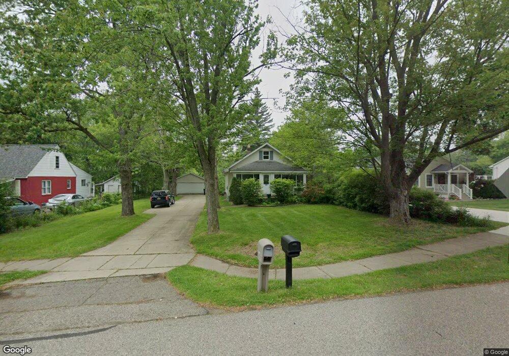
2133 Walnut Rd Unit Bldg-Unit Auburn Hills, MI 48326
Estimated Value: $249,000 - $282,000
3
Beds
1
Bath
975
Sq Ft
$270/Sq Ft
Est. Value
About This Home
This home is located at 2133 Walnut Rd Unit Bldg-Unit, Auburn Hills, MI 48326 and is currently estimated at $263,071, approximately $269 per square foot. 2133 Walnut Rd Unit Bldg-Unit is a home located in Oakland County with nearby schools including Rogers Elementary, Pontiac Middle School, and Pontiac High School.
Ownership History
Date
Name
Owned For
Owner Type
Purchase Details
Closed on
Mar 7, 2018
Sold by
Rood Erik
Bought by
Gramniatlco Deborah
Current Estimated Value
Purchase Details
Closed on
Sep 1, 2005
Sold by
Knoll Peter J and Knoll Kristen
Bought by
Rood Erik
Home Financials for this Owner
Home Financials are based on the most recent Mortgage that was taken out on this home.
Original Mortgage
$158,700
Interest Rate
5.89%
Mortgage Type
FHA
Purchase Details
Closed on
Aug 28, 2003
Sold by
Solovy Kenneth T and Solovy Maureen
Bought by
Knoll Peter J
Purchase Details
Closed on
May 29, 1997
Sold by
Solovy Kathleen S
Bought by
Solovy Kenneth T
Create a Home Valuation Report for This Property
The Home Valuation Report is an in-depth analysis detailing your home's value as well as a comparison with similar homes in the area
Home Values in the Area
Average Home Value in this Area
Purchase History
| Date | Buyer | Sale Price | Title Company |
|---|---|---|---|
| Gramniatlco Deborah | $175,000 | None Available | |
| Rood Erik | $160,000 | Philip R Seaver Title Co Inc | |
| Knoll Peter J | $159,000 | First American Title Se Div | |
| Solovy Kenneth T | -- | -- |
Source: Public Records
Mortgage History
| Date | Status | Borrower | Loan Amount |
|---|---|---|---|
| Previous Owner | Rood Erik | $158,700 |
Source: Public Records
Tax History Compared to Growth
Tax History
| Year | Tax Paid | Tax Assessment Tax Assessment Total Assessment is a certain percentage of the fair market value that is determined by local assessors to be the total taxable value of land and additions on the property. | Land | Improvement |
|---|---|---|---|---|
| 2024 | $1,374 | $100,760 | $0 | $0 |
| 2023 | $1,311 | $93,340 | $0 | $0 |
| 2022 | $2,314 | $77,040 | $0 | $0 |
| 2021 | $2,277 | $76,220 | $0 | $0 |
| 2020 | $1,235 | $70,640 | $0 | $0 |
| 2019 | $2,091 | $66,530 | $0 | $0 |
| 2018 | $2,586 | $59,220 | $0 | $0 |
| 2017 | $2,534 | $57,760 | $0 | $0 |
| 2016 | $2,701 | $56,650 | $0 | $0 |
| 2015 | -- | $52,160 | $0 | $0 |
| 2014 | -- | $49,610 | $0 | $0 |
| 2011 | -- | $51,420 | $0 | $0 |
Source: Public Records
Map
Nearby Homes
- 2325 Walnut Rd
- 2300 Richwood Rd
- 2400 Walnut Rd
- 2464 Allerton Rd
- 2436 Richwood Rd
- 2115 Snellbrook Rd
- 2375 Snellbrook Rd
- 2631 E Walton Blvd
- 2835 Genes Dr
- 3160 Bookham Cir
- 3164 Bookham Cir
- 2641 Konrad Ct Unit 6
- 2526 Patrick Henry Rd
- 2530 Patrick Henry St
- 3101 Elstead St
- 2638 Patrick Henry Rd
- 2145 Joy Rd
- 1580 N Opdyke Rd
- 151 Cedar Isle Dr
- 2087 E Walton Blvd
- 2133 Walnut Rd
- 2125 Walnut Rd
- 2149 Walnut Rd
- 2101 Walnut Rd
- 2201 Walnut Rd
- 2085 Walnut Rd
- 2156 Allerton Rd
- 2134 Walnut Rd
- 2069 Walnut Rd
- 2166 Allerton Rd
- 2211 Walnut Rd
- 2150 Walnut Rd
- 2168 Walnut Rd
- 2176 Allerton Rd
- 2102 Walnut Rd
- 2118 Walnut Rd
- 2096 Allerton Rd
- 2146 Allerton Rd
- 2140 Allerton Rd
- 2120 Allerton Rd