21332 Sanfords Landing Dr Cassopolis, MI 49031
Estimated Value: $269,000 - $397,000
--
Bed
--
Bath
1,040
Sq Ft
$303/Sq Ft
Est. Value
About This Home
This home is located at 21332 Sanfords Landing Dr, Cassopolis, MI 49031 and is currently estimated at $315,264, approximately $303 per square foot. 21332 Sanfords Landing Dr is a home located in Cass County with nearby schools including Sam Adams Elementary School, Cassopolis Middle School, and Cassopolis Ross Beatty High School.
Ownership History
Date
Name
Owned For
Owner Type
Purchase Details
Closed on
Apr 9, 2019
Sold by
Oake Gena and Woofter Kimberly L
Bought by
Pennino Anthony and Pennino Elizabeth
Current Estimated Value
Home Financials for this Owner
Home Financials are based on the most recent Mortgage that was taken out on this home.
Original Mortgage
$95,000
Outstanding Balance
$83,522
Interest Rate
4.3%
Mortgage Type
New Conventional
Estimated Equity
$231,742
Purchase Details
Closed on
Jun 8, 2017
Sold by
Lippert James R
Bought by
Oake Gena and Woofter Kimberly L
Home Financials for this Owner
Home Financials are based on the most recent Mortgage that was taken out on this home.
Original Mortgage
$180,000
Interest Rate
4.02%
Mortgage Type
New Conventional
Purchase Details
Closed on
Oct 9, 2013
Sold by
Cholasinski Bettie I and Lippert James P
Bought by
Cholasinski Bettie L and Lippert James R
Create a Home Valuation Report for This Property
The Home Valuation Report is an in-depth analysis detailing your home's value as well as a comparison with similar homes in the area
Home Values in the Area
Average Home Value in this Area
Purchase History
| Date | Buyer | Sale Price | Title Company |
|---|---|---|---|
| Pennino Anthony | $175,500 | Meridian Title Corp | |
| Oake Gena | $225,000 | None Available | |
| Cholasinski Bettie L | -- | Lawyers Title |
Source: Public Records
Mortgage History
| Date | Status | Borrower | Loan Amount |
|---|---|---|---|
| Open | Pennino Anthony | $95,000 | |
| Previous Owner | Oake Gena | $180,000 |
Source: Public Records
Tax History Compared to Growth
Tax History
| Year | Tax Paid | Tax Assessment Tax Assessment Total Assessment is a certain percentage of the fair market value that is determined by local assessors to be the total taxable value of land and additions on the property. | Land | Improvement |
|---|---|---|---|---|
| 2025 | $4,254 | $152,700 | $152,700 | $0 |
| 2024 | $1,073 | $100,600 | $100,600 | $0 |
| 2023 | $1,038 | $98,100 | $0 | $0 |
| 2022 | $989 | $92,600 | $0 | $0 |
| 2021 | $4,025 | $94,500 | $0 | $0 |
| 2020 | $4,199 | $98,300 | $0 | $0 |
| 2019 | $3,189 | $94,600 | $0 | $0 |
| 2018 | $792 | $73,700 | $0 | $0 |
| 2017 | $497 | $68,700 | $0 | $0 |
| 2016 | $493 | $92,700 | $0 | $0 |
| 2015 | -- | $85,200 | $0 | $0 |
| 2011 | -- | $70,200 | $0 | $0 |
Source: Public Records
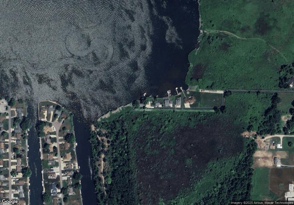
Map
Nearby Homes
- 25740 Michigan 60
- 23803 Evan St
- 25481 Jefferson Center St
- 26853 Hospital St
- 63695 White St
- 64145 Brick Church Rd
- 0 Forest Shores Dr Unit 23 25032476
- 0 Forest Shores Dr Unit 22 25032452
- V/L M 62
- 23786 Pokagon Hwy
- 66150 Michigan 62
- Tract 7 Brookside Ct
- Tract 6 Brookside Ct
- Tract 5 Brookside Ct
- Tract 4 Deep Woods Dr
- Tract 3 Deep Woods Dr
- Tract #2 Deep Woods Dr
- Tract 1 Deep Woods Dr
- 217 W State St
- 142 S Broadway St
- 63431 Mullen Rd
- 24876 North St
- 24973 North St
- 63299 Mullen Rd
- 24816 North St
- 63191 Mullen Rd
- 63281 Mullen Rd
- 63558 Mullen Rd
- 24779 North St
- 24877 North St
- 24741 Hospital St
- 24741 Hospital St
- 63561 Mullen Rd
- 0 Mullen Rd
- 63628 Mullen Rd
- 63636 Mullen Rd
- 24799 North St
- 25024 Hospital St
- 24627 North St
- 24627 North St