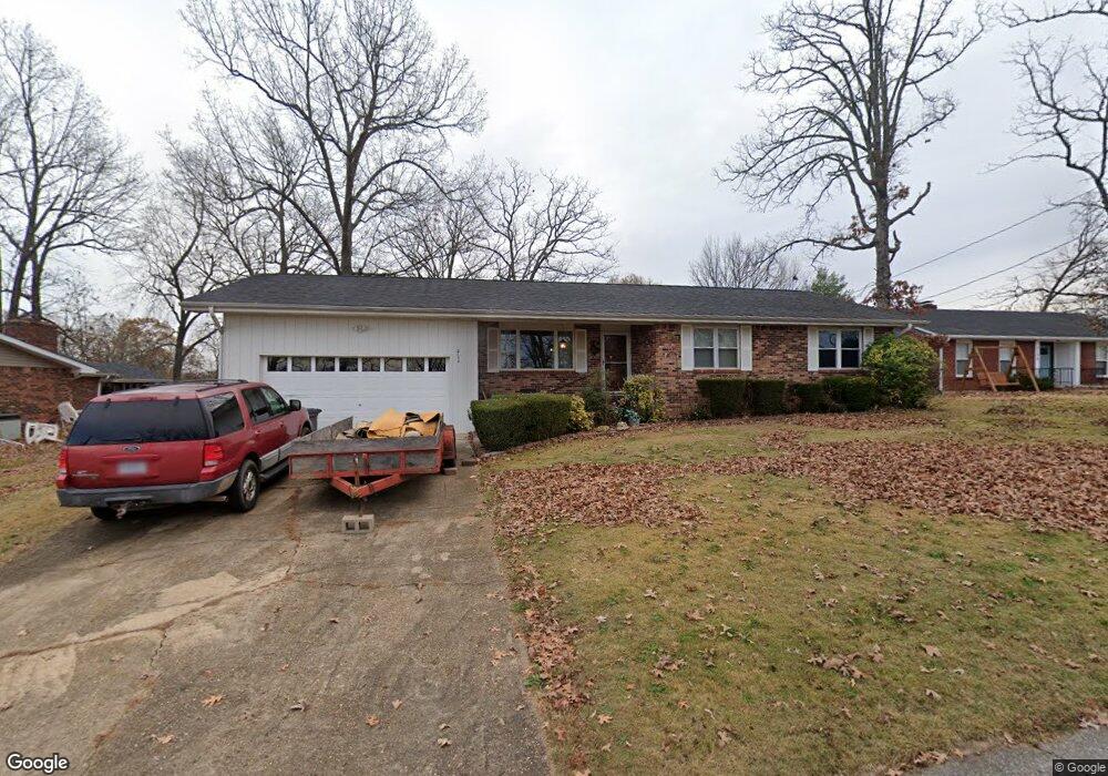
2134 Autumn Rd Poplar Bluff, MO 63901
Estimated Value: $215,617 - $250,000
4
Beds
--
Bath
2,244
Sq Ft
$105/Sq Ft
Est. Value
About This Home
This home is located at 2134 Autumn Rd, Poplar Bluff, MO 63901 and is currently estimated at $235,904, approximately $105 per square foot. 2134 Autumn Rd is a home located in Butler County with nearby schools including O'Neal Elementary School, Poplar Bluff Fifth & Sixth Grade Center, and Poplar Bluff Junior High School.
Ownership History
Date
Name
Owned For
Owner Type
Purchase Details
Closed on
Apr 16, 2013
Sold by
Phillips Cona J and Pigg Cona J
Bought by
Pigg Earl and The Earl Plgg Revocable Living
Current Estimated Value
Purchase Details
Closed on
Oct 17, 2011
Sold by
Phillips Cona J
Bought by
Hutchison Floyd J
Home Financials for this Owner
Home Financials are based on the most recent Mortgage that was taken out on this home.
Original Mortgage
$139,800
Interest Rate
4.17%
Mortgage Type
New Conventional
Create a Home Valuation Report for This Property
The Home Valuation Report is an in-depth analysis detailing your home's value as well as a comparison with similar homes in the area
Home Values in the Area
Average Home Value in this Area
Purchase History
| Date | Buyer | Sale Price | Title Company |
|---|---|---|---|
| Pigg Earl | -- | None Available | |
| Hutchison Floyd J | -- | -- |
Source: Public Records
Mortgage History
| Date | Status | Borrower | Loan Amount |
|---|---|---|---|
| Previous Owner | Hutchison Floyd J | $139,800 |
Source: Public Records
Tax History
| Year | Tax Paid | Tax Assessment Tax Assessment Total Assessment is a certain percentage of the fair market value that is determined by local assessors to be the total taxable value of land and additions on the property. | Land | Improvement |
|---|---|---|---|---|
| 2025 | $1,141 | $24,190 | $0 | $0 |
| 2024 | $11 | $22,500 | $0 | $0 |
| 2023 | $1,087 | $22,500 | $0 | $0 |
| 2022 | $1,052 | $21,820 | $0 | $0 |
| 2021 | $1,053 | $21,820 | $0 | $0 |
| 2020 | $1,036 | $21,180 | $0 | $0 |
| 2019 | $1,035 | $21,180 | $0 | $0 |
| 2018 | $1,035 | $21,180 | $0 | $0 |
| 2017 | -- | $21,180 | $0 | $0 |
| 2016 | -- | $21,180 | $0 | $0 |
| 2015 | -- | $21,180 | $0 | $0 |
| 2014 | -- | $19,870 | $0 | $0 |
| 2012 | $846 | $19,870 | $0 | $0 |
Source: Public Records
Map
Nearby Homes
- 2001 Woodhaven Rd
- 1557 Haven Hills Rd
- 1301 Lurlyn Rd
- 2001 King Rd
- 2105 Jackson Rd
- 1715 Big Bend Rd
- 1915 Old Orchard Rd
- 1723 Sunset Dr
- 2305 Lee St
- 2601 Forest View St
- 2304 Lee St
- 1604 Big Bend Rd
- 1824 Seifert Dr
- 2418 Channon Dr
- 737 Price St
- 1712 Seifert Dr
- 2310 Earl St
- 2329 Perkins Dr
- 2462 Roxie Rd
- 0 West St
Your Personal Tour Guide
Ask me questions while you tour the home.