2134 Benson Rd Point Roberts, WA 98281
Estimated Value: $129,000 - $466,000
Studio
--
Bath
--
Sq Ft
215,186
Sq Ft Lot
About This Home
This home is located at 2134 Benson Rd, Point Roberts, WA 98281 and is currently estimated at $279,183. 2134 Benson Rd is a home with nearby schools including Point Roberts Primary School, Blaine Middle School, and Blaine High School.
Ownership History
Date
Name
Owned For
Owner Type
Purchase Details
Closed on
Sep 17, 2020
Sold by
Dobb Bryan
Bought by
Dobb Stephanie
Current Estimated Value
Purchase Details
Closed on
Sep 14, 2020
Sold by
Smith Russell David and Cornelius Smith Allison
Bought by
Dobb Stephanie
Purchase Details
Closed on
May 28, 2018
Sold by
Lee John
Bought by
Smith Russell David and Corneius Smith Allison Ann
Purchase Details
Closed on
Nov 26, 2007
Sold by
Lewis Logging Co Llc
Bought by
Lee John
Home Financials for this Owner
Home Financials are based on the most recent Mortgage that was taken out on this home.
Original Mortgage
$402,000
Interest Rate
6.36%
Mortgage Type
Seller Take Back
Create a Home Valuation Report for This Property
The Home Valuation Report is an in-depth analysis detailing your home's value as well as a comparison with similar homes in the area
Home Values in the Area
Average Home Value in this Area
Purchase History
| Date | Buyer | Sale Price | Title Company |
|---|---|---|---|
| Dobb Stephanie | -- | Whatcom Land Title | |
| Dobb Stephanie | $265,000 | Whatcom Land Title | |
| Smith Russell David | $278,000 | Whatcom Land Title | |
| Lee John | $570,280 | Whatcom Land Title |
Source: Public Records
Mortgage History
| Date | Status | Borrower | Loan Amount |
|---|---|---|---|
| Previous Owner | Lee John | $402,000 |
Source: Public Records
Tax History
| Year | Tax Paid | Tax Assessment Tax Assessment Total Assessment is a certain percentage of the fair market value that is determined by local assessors to be the total taxable value of land and additions on the property. | Land | Improvement |
|---|---|---|---|---|
| 2025 | $1,617 | $216,871 | $213,028 | $3,843 |
| 2024 | $1,464 | $209,664 | $205,821 | $3,843 |
| 2023 | $1,464 | $190,953 | $187,110 | $3,843 |
| 2022 | $1,360 | $177,093 | $173,250 | $3,843 |
| 2021 | $1,463 | $148,500 | $148,500 | $0 |
| 2020 | $1,512 | $148,500 | $148,500 | $0 |
| 2019 | $1,549 | $148,500 | $148,500 | $0 |
| 2018 | $1,697 | $148,500 | $148,500 | $0 |
| 2017 | $1,499 | $148,500 | $148,500 | $0 |
| 2016 | $1,542 | $148,500 | $148,500 | $0 |
| 2015 | $1,569 | $148,500 | $148,500 | $0 |
| 2014 | -- | $148,500 | $148,500 | $0 |
| 2013 | -- | $148,500 | $148,500 | $0 |
Source: Public Records
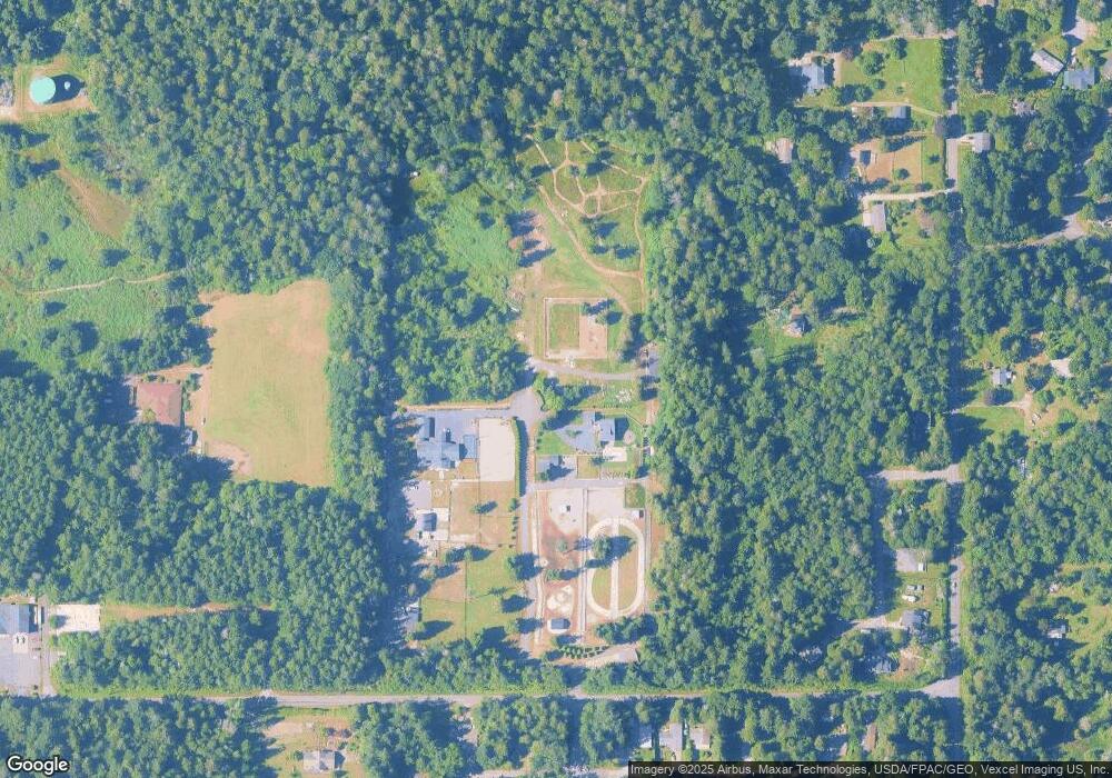
Map
Nearby Homes
- 2138 Benson Rd
- Lot 3 Deer Rd
- 0 Deer Rd
- 251 Elizabeth Dr
- 6 Weasel Run Rd
- 103 Goodman Rd
- 0 15 Whalen Dr
- 19 Whalen Dr
- 2224 Ross Rd
- 0 3 73 Acres Derby Ave
- 1987 Cedar Park Dr
- 2045 Apa Rd
- 1928 Sanders Ct Unit 2
- 2202 Seabright Loop
- 58 Seabright Loop
- 1857 Washington Dr
- 2 Mill Rd
- 1774 Centennial Place
- 2242 Seabright Loop
- 661 Driftwood Ln
Your Personal Tour Guide
Ask me questions while you tour the home.